



The Science of a Shifting River
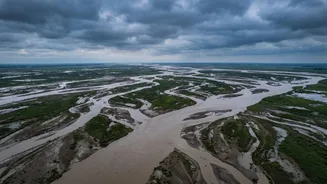
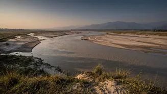
The Kosi's dangerous nature is rooted in its geography. Originating high in the Himalayas, it descends steeply, carrying one of the heaviest sediment loads of any river in the world. This enormous quantity of silt, sand, and debris is eroded from the young,
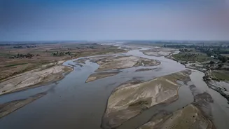
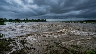
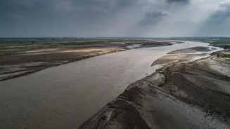
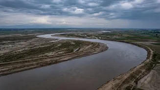
fragile Himalayan mountains. When the river crashes out of the narrow Chatra Gorge in Nepal and onto the flat plains of North Bihar, its velocity drops dramatically. Unable to carry the sediment any further, it deposits millions of tonnes of it onto its own bed. Over time, this process, known as aggradation, raises the riverbed higher and higher, until it flows above the level of the surrounding plains. During a major monsoon flood, the water seeks a new, lower path, breaking its banks and carving a new channel in a process called avulsion. It is this sudden, violent change of course that causes such widespread devastation.
The Embankment Paradox
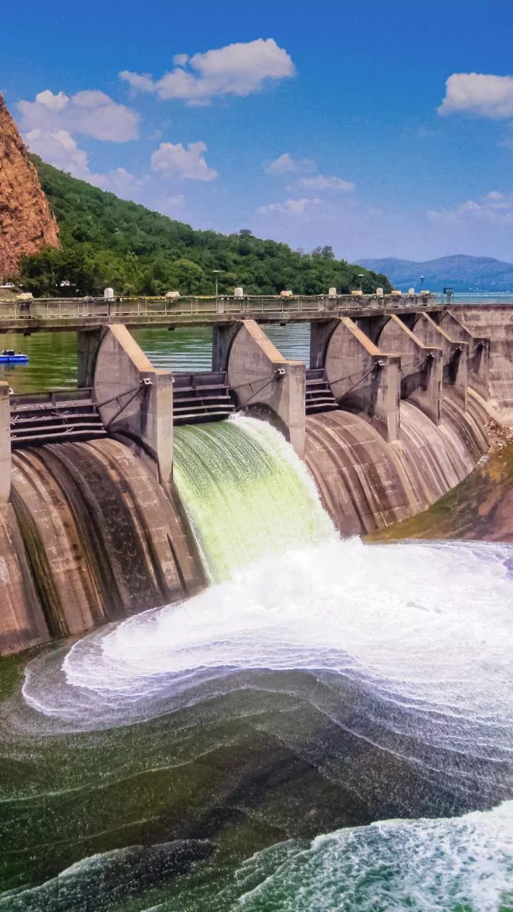
In the 1950s, an ambitious project was undertaken to tame the Kosi by building embankments along its banks to jacket the river and prevent it from overflowing. For a time, this provided a degree of protection. However, these man-made walls created an unforeseen problem. By confining the river, the embankments prevented the sediment from dispersing naturally across the vast floodplain. Instead, the silt was trapped within the channel, accelerating the process of raising the riverbed. This has created a perilous situation where the river, in many places, now flows several metres higher than the adjacent countryside. The embankments, designed for protection, have effectively turned the river into an elevated aqueduct. While they hold, the land outside is safe. But the pressure on these walls is immense, and a breach can be far more catastrophic than a natural flood, as it releases a massive volume of water from a higher elevation onto the low-lying plains.
2008: A Catastrophe Realised
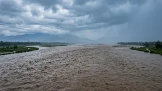
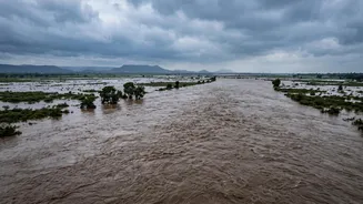
The inherent risks of this system became horrifyingly clear on August 18, 2008. A breach in the eastern embankment at Kusaha in Nepal caused the Kosi to abandon its established channel and violently shift its course about 120 kilometres eastward, pouring into an old channel it had not occupied in over a century. The result was one of the worst floods in Bihar's modern history. Water inundated areas that had long considered themselves safe from the Kosi's wrath. The disaster affected over three million people in Bihar, destroying hundreds of thousands of homes, devastating vast tracts of agricultural land, and causing hundreds of deaths. The 2008 flood was not just a natural disaster; it was a stark demonstration of how attempts to control the river had inadvertently magnified its destructive potential.
A Perpetual State of Vulnerability
Today, millions of people in North Bihar continue to live in the shadow of the Kosi. The fundamental problems remain unsolved. The river continues to deposit enormous amounts of silt, the riverbed continues to rise, and the embankments are under constant strain. For the communities living within the embankments—on the active floodplain—life is a precarious balancing act, with the constant threat of erosion and annual flooding. For those living outside, the risk of another catastrophic breach like the one in 2008 is ever-present. The situation is complicated by the fact that the river is transboundary, with its upper catchment in Nepal, meaning any long-term solution requires close cooperation between India and Nepal. The challenge is no longer just about controlling the river, but learning to live with its immense power in a safer, more sustainable way.