






The Pacific Ocean's Big Players
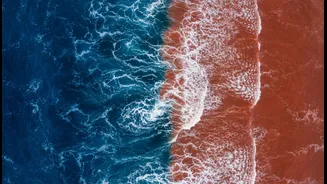
Much of India's weather story begins thousands of kilometres away in the vast Pacific Ocean. Here, the El Niño-Southern Oscillation (ENSO) cycle holds sway. This cycle has two main phases: El Niño and La Niña. Think of El Niño as the warm phase. During
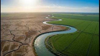
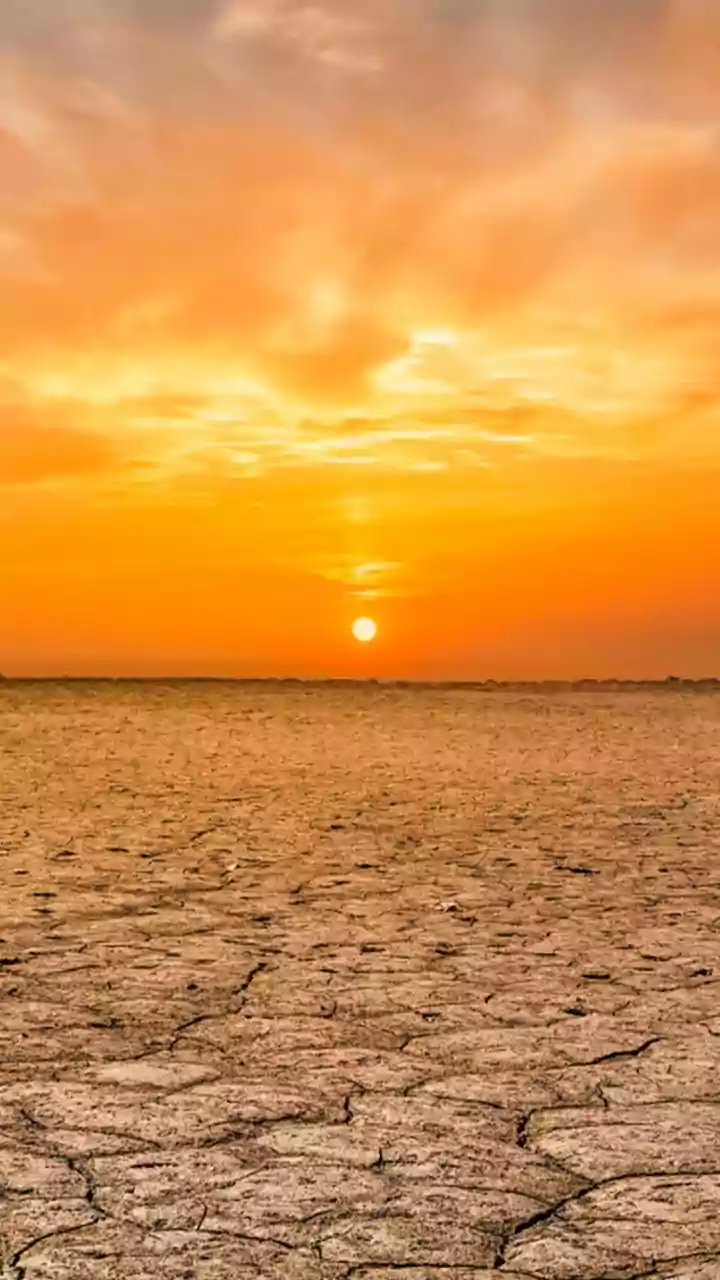
an El Niño year, the surface waters of the central and eastern Pacific Ocean become unusually warm. This change, though distant, disrupts global atmospheric circulation, weakening the trade winds that typically blow towards Asia. For India, this often means a weaker monsoon, leading to below-average rainfall and a higher risk of drought, particularly impacting agriculture in states like Maharashtra, Gujarat, and Karnataka. Historically, at least half of all El Niño years have resulted in drought conditions in India.
La Niña: The Cooler Counterpart
La Niña is the opposite of El Niño. It's the cool phase of the ENSO cycle, marked by the cooling of sea surface temperatures in the same region of the Pacific Ocean. This cooling effect strengthens the normal atmospheric circulation, including the trade winds. For India, this is generally good news. La Niña conditions are associated with a stronger-than-usual southwest monsoon, often bringing normal or above-normal rainfall across the country. The bountiful rains during La Niña years are crucial for replenishing reservoirs and ensuring healthy crop yields, although they can also increase the risk of flooding.
The Indian Ocean Dipole: A Local Hero?
While El Niño and La Niña are the global headliners, India has a more local, and sometimes more powerful, influencer: the Indian Ocean Dipole (IOD). Sometimes called the 'Indian El Niño', the IOD is a seesaw of sea surface temperatures in the Indian Ocean itself. It has three phases: positive, negative, and neutral. During a 'positive' IOD, the western part of the Indian Ocean (the Arabian Sea) becomes warmer than the eastern part. This pushes moisture-laden winds directly towards the Indian subcontinent, boosting the monsoon. A strong positive IOD can be so powerful that it can counteract the negative effects of an El Niño, sometimes resulting in normal rainfall even during an El Niño year. A 'negative' IOD does the reverse, cooling the Arabian Sea and often weakening the monsoon.
Madden-Julian Oscillation: The Wild Card
If ENSO and IOD set the stage for the entire season, the Madden-Julian Oscillation (MJO) is the actor that can change the script from week to week. The MJO is an eastward-moving pulse of clouds, rainfall, and wind that circles the tropics roughly every 30 to 60 days. It has an 'enhanced' or active phase, which brings heavy rainfall, and a 'suppressed' phase, which leads to drier conditions. The location of the MJO's active phase is critical. When it is over the Indian Ocean, it can strengthen the monsoon and lead to a wet spell. When it moves over the Pacific, it can cause a 'break' or dry spell in the Indian monsoon. This makes the MJO a key factor in the day-to-day and week-to-week variability of rainfall within a single monsoon season.
A Complex Interplay
It's crucial to remember that these climate patterns don't operate in isolation. The strength and timing of the Indian monsoon are a result of the complex interplay between them. A year might feature a weak El Niño but a strong positive IOD, leading to a surprisingly normal monsoon. Another year might see a neutral ENSO, but the position of the MJO could lead to prolonged dry spells. Factors closer to home, like the Himalayan snow cover and the heating of the Tibetan plateau, also play a significant role in this intricate climate puzzle.