





An Eye in the Sky for Earth’s Health
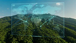
The biggest challenge in fighting climate change is often seeing the problem clearly. For decades, access to satellite data was limited to large government space agencies. Today, that monopoly is over. Open-access programs from NASA and the European Space
Agency, combined with powerful cloud platforms, allow anyone with an internet connection to monitor environmental shifts in real time. This has empowered a generation of students to move from theory to practice. They are using this data to monitor everything from deforestation and greenhouse gas concentrations to the health of vital water bodies. For instance, student-led projects have involved designing nano-satellites specifically to monitor greenhouse gases like carbon dioxide in the atmosphere, providing crucial data on pollution sources. This democratisation of data means young innovators can now build and test solutions for local and global environmental issues with unprecedented speed and accuracy.
Smarter Farming, Healthier Planet
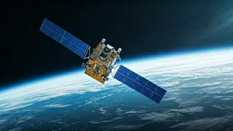
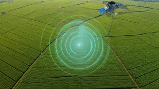
Agriculture is both a major contributor to climate change and highly vulnerable to its effects. Indian students are rising to this challenge by developing space-tech solutions for precision agriculture. Using satellite imagery and GPS technology, they can create systems that help farmers optimise the use of water and fertilisers. This not only conserves precious resources but also reduces the runoff of chemicals into waterways and lowers greenhouse gas emissions from farming operations. One project from IIT Kanpur, the nano-satellite JUGNU, was designed to use imaging for agriculture and disaster monitoring. These innovations enable a more targeted approach to farming, ensuring higher yields with a smaller environmental footprint, which is critical for India's food security and climate resilience. By providing actionable data directly to farmers, these student-led initiatives are helping to create a more sustainable agricultural future.
Mapping and Managing Climate Disasters
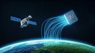
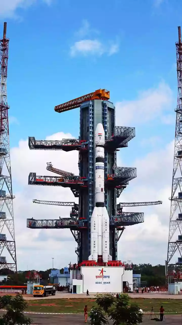
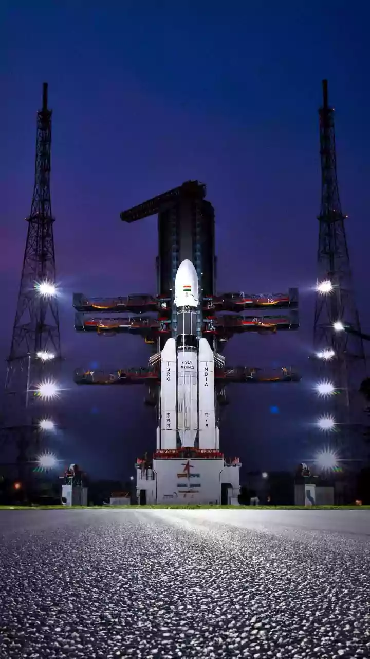
As climate change intensifies, so does the frequency of natural disasters like floods, cyclones, and landslides. Space technology offers powerful tools for prediction and management, and students are at the forefront of harnessing this potential. By analysing satellite data, they can develop models that provide early warnings for vulnerable communities. For example, a startup co-founded by young innovators, SatLeo Labs, uses thermal satellite data and AI to detect dangerous heat build-up in cities, helping to prevent public health emergencies and even pinpoint underground landfill fires. The Indian Space Research Organisation (ISRO) actively supports such endeavours, providing students with guidance, testing facilities, and free launch opportunities for their satellites. These projects, which combine remote sensing with data analytics, are crucial for building climate-resilient infrastructure and saving lives by enabling authorities to respond faster and more effectively to emergencies.
Fostering a New Generation of Innovators
The rise of student-led space-tech projects is no accident. It is the result of a concerted effort by institutions to nurture young talent. ISRO's student satellite programs have been instrumental, offering hands-on experience in designing, building, and testing satellites. Competitions like the NASA Space Apps Challenge and hackathons encourage students to think creatively about real-world problems. A team from Chennai's Easwari Engineering College recently won the NASA challenge for their project to provide low-cost satellite internet to remote areas. Similarly, programs like Viasat's 'Space for Good' challenge students in India to devise solutions that use space to improve life on Earth. These initiatives provide not just technical guidance and resources but also mentorship and a platform for students to present their ideas globally, ensuring a steady stream of talent ready to tackle the environmental challenges of tomorrow.