



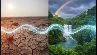


First, What Is El Niño?
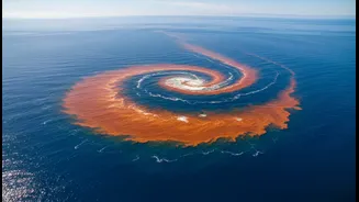
At its core, El Niño is a simple concept: the unusual warming of surface waters in the central and eastern equatorial Pacific Ocean. This isn't a small fluctuation; it's a large-scale climate pattern that shifts vast amounts of heat into the atmosphere,
disrupting weather systems across the globe. The opposite of this is La Niña, which involves a cooling of the same ocean region and typically brings more rainfall to India. These events are part of a cycle known as the El Niño-Southern Oscillation (ENSO) and occur every two to seven years, lasting for about nine to twelve months.
The Global Ripple Effect on Weather
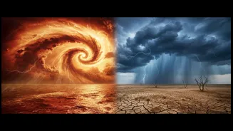
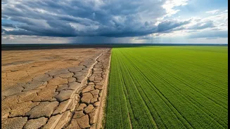
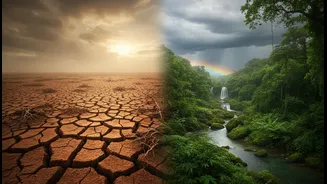
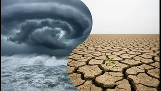
When the Pacific Ocean warms, it changes the normal atmospheric circulation, particularly the east-west pattern known as the Walker Circulation. This disruption doesn't stay local. It causes a domino effect, leading to droughts in some places like India and Australia, and heavy rainfall or floods in others, such as South America. This global reshuffling of weather is why an ocean event far from India's shores can determine the fate of its most critical season.
The Critical Link to India's Monsoon
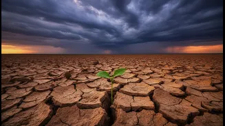
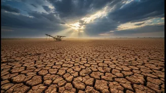
The Indian monsoon is historically suppressed during an El Niño year. The warming of the eastern Pacific tends to create high-pressure conditions over the western Pacific and Indian Ocean, weakening the moisture-laden winds that blow towards the subcontinent. This can lead to a weaker monsoon, reduced overall rainfall, and a higher probability of drought conditions. In fact, many of India's most significant droughts have coincided with El Niño events. For a country where agriculture is heavily dependent on the monsoon, the implications are enormous, affecting everything from crop yields to water reservoir levels.
It's Not a Simple One-to-One Rule
However, the relationship isn't always straightforward. Not every El Niño year results in a severe drought in India. For instance, the very strong El Niño of 1997-98 saw India receiving above-average rainfall. This is because other climate phenomena can play a crucial role, most notably the Indian Ocean Dipole (IOD). The IOD is the Indian Ocean's own version of El Niño, based on temperature differences between the western and eastern parts of the ocean. A 'positive' IOD, which involves a warmer western Indian Ocean, can help counteract El Niño's negative effects by steering more moisture towards India, often boosting rainfall in the latter half of the monsoon season.
What Forecasters Are Saying for 2026
Currently, El Niño conditions are present and are expected to strengthen. The World Meteorological Organization (WMO) has indicated a rapid development of the phenomenon through July-September 2026. In India, June 2026 saw a significant rainfall deficit of nearly 40%, partly attributed to these strengthening conditions. The India Meteorological Department (IMD) has forecast below-normal rainfall for July as El Niño tightens its grip. High-level government meetings are already taking place to monitor the situation and prepare for potential impacts on agriculture and water resources. While the first week of July showed some improvement, the overall outlook remains cautious, with forecasters expecting weak to moderate El Niño conditions through July and August.
The Impact Beyond Just Rain
A weak monsoon has consequences that ripple through the entire economy. It directly threatens the Kharif planting season for crucial crops like rice, maize, and sugarcane. Reduced agricultural output can lead to food price inflation, affecting household budgets across the country. Beyond farming, it can strain water supplies for cities and reduce hydroelectric power generation. The health of the rural economy, which supports a vast portion of India's population, is intricately tied to the performance of the monsoon, making El Niño a significant economic risk factor.