


Seeing the Invisible Enemy
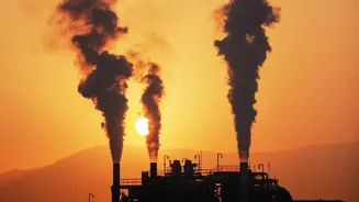
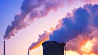
Methane is a powerful greenhouse gas, with a warming potential over 80 times greater than carbon dioxide in its first 20 years in the atmosphere. A significant portion of these emissions comes from the oil and gas industry through leaks, venting, and flaring.
The problem has always been twofold: methane is invisible, and its sources are often spread across vast, remote areas, making it difficult to track. For years, regulators and companies relied on estimates based on equipment types and operational hours, a method often referred to as "bottom-up" measurement. This approach, while necessary, was prone to significant underreporting and failed to capture unexpected "super-emitter" events, where a single faulty piece of equipment can release enormous quantities of gas. Trying to manage methane has been like trying to fix a water leak in a massive house with the lights off—you know there’s a problem, but you don't know exactly where or how bad it is.
A New Set of Eyes in the Sky
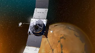
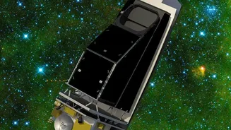
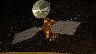
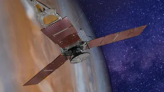
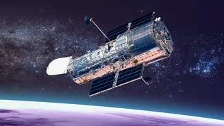
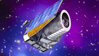
Enter hyperspectral imaging satellites. Think of a standard digital camera, which sees light in three bands: red, green, and blue. A hyperspectral sensor, by contrast, sees light in hundreds of narrow bands, including many in the shortwave infrared (SWIR) spectrum invisible to the human eye. This is crucial because methane absorbs sunlight in a unique way, leaving a distinct spectral “fingerprint” in the light that reflects off the Earth. By analyzing these subtle changes in the light spectrum, these satellites can detect and even quantify methane plumes in the atmosphere. Missions from organizations like Carbon Mapper, GHGSat, and the Environmental Defense Fund's MethaneSAT are deploying this advanced technology to create a global, persistent monitoring system. It’s a technological leap that gives us the ability to see the chemical composition of the atmosphere in stunning detail.
From Educated Guesses to Hard Evidence
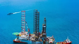
The true revolution lies in the shift from estimation to direct observation. Previous methods like handheld sensors or airplane-mounted detectors were effective for spot checks but were expensive and couldn't provide continuous, wide-scale coverage. Satellites overcome these limitations. They can scan entire continents, revisit sites frequently (sometimes daily), and provide data for remote or hard-to-access infrastructure like offshore platforms and sprawling pipeline networks. This frequent, broad coverage turns methane monitoring from a periodic activity into a persistent surveillance system. Instead of relying on self-reported estimates, stakeholders can now access independent, empirical data. This transforms the conversation from “we think our emissions are X” to “the satellite measured your emissions at Y.” This is the core of the new auditing capability: the power to verify claims against objective reality.
A New Era of Accountability
With this new layer of transparency, a new era of accountability is dawning for the energy sector. Publicly available data from satellites run by groups like Carbon Mapper and MethaneSAT means that companies, investors, and regulators can all see the same picture. When a major leak is detected, alerts can be sent to operators and governments, sometimes within hours or days, enabling rapid repair. This data provides a powerful tool for auditing corporate environmental, social, and governance (ESG) claims. Investors can better assess the financial risk associated with a company's emissions, while gas importers can differentiate between suppliers based on their certified methane intensity. It creates a powerful incentive for operators not only to fix leaks quickly—which also prevents the loss of a saleable product—but to invest in better infrastructure and operational practices to prevent them in the first place.
The Business of Emission Reduction
For energy companies, this technology presents both a challenge and an opportunity. On one hand, it exposes poor performers and increases pressure from regulators and the public. On the other, it allows proactive companies to demonstrate their commitment to reducing emissions with verifiable data, potentially giving them a competitive edge. By integrating satellite data into their leak detection and repair (LDAR) programs, companies can operate more efficiently, reduce product loss, and lower their climate impact. Organizations like the Oil and Gas Climate Initiative (OGCI) are already collaborating with satellite providers to help operators act on the data and mitigate detected emissions. As the technology becomes more integrated, and as AI helps process the vast amounts of data even faster, it is setting a new industry standard for what it means to be a responsible energy producer in a climate-conscious world.