








The Pacific's Great Climate Seesaw
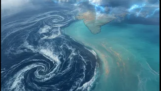
At the heart of this global weather drama are El Niño and its counterpart, La Niña. Together, they form the El Niño-Southern Oscillation (ENSO) cycle. Think of them as the warm and cool phases of the tropical Pacific Ocean. During an El Niño, sea surface
temperatures in the central and eastern Pacific become unusually warm. Conversely, La Niña is marked by the abnormal cooling of these same waters. This oceanic temperature swing might seem distant, but it triggers a massive atmospheric chain reaction that directly impacts the strength and consistency of India's monsoon.
El Niño: The Bringer of Dry Spells
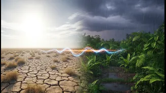
Historically, El Niño has been India’s adversary. Many of the country's most severe drought years have coincided with strong El Niño events. The mechanism behind this is a disruption of a major atmospheric circulation pattern known as the Walker Circulation. Normally, this circulation involves air rising over the warm waters of the western Pacific (near Indonesia) and sinking over the cooler eastern Pacific. This helps draw moisture-laden winds towards India. During an El Niño, the warming of the eastern and central Pacific weakens this entire system. The rising air shifts eastward, away from India, leading to suppressed rainfall, weaker monsoon winds, and a higher probability of drought across the subcontinent.
La Niña: A Rainy, but Risky, Friend
La Niña does the exact opposite. When the eastern Pacific cools, the Walker Circulation intensifies. The trade winds become stronger, pushing more warm surface water towards the western Pacific. This enhances the atmospheric conditions that are favourable for a strong Indian monsoon. La Niña years are often associated with normal or even above-normal rainfall, which can be a boon for agriculture and water reservoirs. However, this isn't always good news. A very strong La Niña can lead to excessive rainfall, causing destructive floods in some parts of the country and increasing cyclone activity.
Impact on Fields, Finances, and Families
The consequences of this climate tug-of-war extend far beyond weather reports. They are deeply felt in the daily lives of millions. With nearly half of India's farmland being rain-fed, a weak monsoon during an El Niño can devastate crop yields for staples like rice, sugarcane, and cotton. This leads to agricultural distress, lower rural incomes, and can drive up food prices, impacting household budgets across the nation. Water levels in reservoirs drop, affecting drinking water supplies and the generation of hydroelectric power. A strong La Niña, while often beneficial, carries the risk of crop damage from flooding and displacement of communities.
A More Complicated Picture
While the El Niño-drought and La Niña-flood correlation is strong, it's not a perfect one-to-one relationship. Other climate factors can interfere. The Indian Ocean Dipole (IOD), sometimes called the Indian El Niño, plays a crucial role. The IOD is a measure of the temperature difference between the western and eastern parts of the Indian Ocean. A 'positive' IOD, with warmer waters in the west, can help counteract El Niño's drying effect and boost the monsoon. In some years, a strong positive IOD has rescued India from a potential El Niño-induced drought. Conversely, a 'negative' IOD can worsen drought conditions. This interplay makes monsoon forecasting a complex challenge, especially as global warming is thought to be making these events more intense and unpredictable.