






A New Frontier for Cooperation
In late June 2026, heads of space agencies from the expanded BRICS bloc—now including nations like Egypt, Iran, and the UAE alongside the original members—convened in Bengaluru, hosted by the Indian Space Research Organisation (ISRO). A key item on the agenda
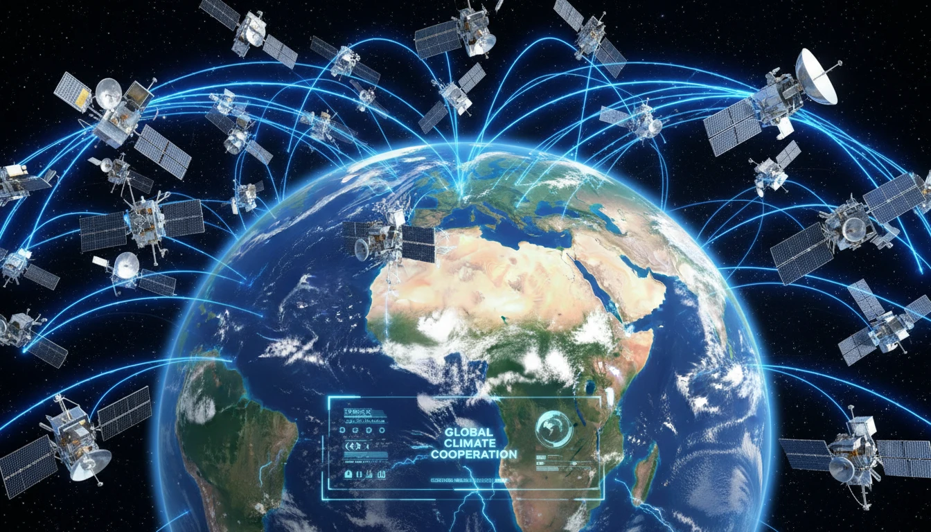
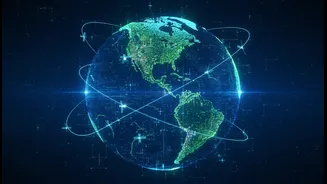
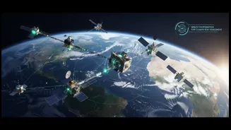
was advancing the BRICS Remote Sensing Satellite Constellation. First agreed upon in 2021, this isn't about building new hardware together, but creating a 'virtual constellation' by sharing data from existing satellites operated by Brazil, Russia, India, China, and South Africa. The recent talks focused on amending this agreement to include new BRICS members, effectively expanding this shared eye in the sky. The goal is to create a robust data-sharing mechanism to tackle common challenges.
More Than Just Pretty Pictures
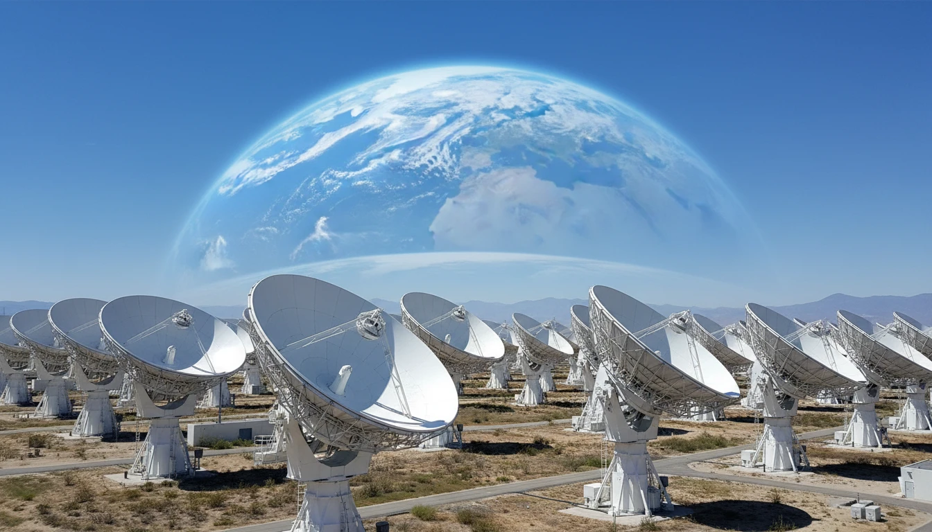
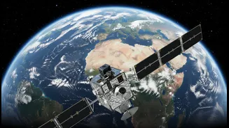
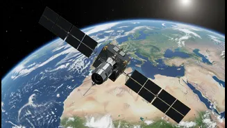
So, what exactly is Earth Observation (EO)? It's the gathering of information about our planet's physical, chemical, and biological systems via remote sensing technologies, primarily from satellites. These aren't just taking simple photos. Satellites are equipped with advanced sensors that can capture data across the electromagnetic spectrum, seeing things the human eye cannot. This includes monitoring heat signatures, measuring atmospheric gases, tracking changes in land use, and assessing water levels with remarkable precision. The result is a continuous stream of objective data that can be used to understand and manage what's happening on the ground. For nations, having access to this data is becoming as crucial as any other strategic resource.
Data as a Governance Tool
This is where EO transitions from a scientific curiosity to a powerful public-policy instrument. Governments are increasingly reliant on this data for effective administration and planning. In India, for example, EO data is critical for everything from forecasting crop yields to support food security, to planning urban infrastructure and monitoring illegal construction. For a group of nations like BRICS, which face similar developmental and environmental challenges, the applications are immense. Shared satellite data can be used for joint disaster management, like tracking cyclones or forecasting floods across borders. It can help monitor shared natural resources, combat deforestation in the Amazon, or track the effects of climate change with a unified perspective.
The Power of a Shared View
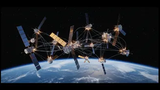
The BRICS virtual constellation demonstrates the principle that a network is more powerful than the sum of its parts. A single satellite can only view a specific point on Earth periodically. By combining the resources of multiple national space agencies, the BRICS countries get more frequent and comprehensive coverage of the globe. This 'data pool' allows one member to access imagery from another's satellite during an emergency, such as a major flood or earthquake, when their own satellites might not be in the right position. This cooperation not only provides practical benefits but also builds strategic autonomy, reducing reliance on data from non-BRICS nations and fostering South-South cooperation. It’s a form of space diplomacy that strengthens ties on the ground.
India’s Role and the Road Ahead
India, through ISRO, is a major player in this collaboration. It contributes data from its own formidable fleet of remote sensing satellites, like the Resourcesat series, to the constellation. Hosting the recent meeting in Bengaluru and proposing a broader “BRICS Space Economy” underscores India’s ambition to lead in collaborative space innovation. The meeting also served as a platform for India to showcase its burgeoning private space sector to the delegates. Looking ahead, the BRICS nations are discussing the formation of a formal BRICS Space Council to coordinate long-term policies and even more ambitious joint projects. The move signifies a shift from simple coordination to active co-creation in space.