



What is SAR Technology?
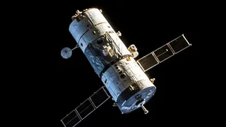
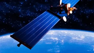
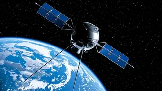
Before diving into the course, it helps to understand the technology at its core. Synthetic Aperture Radar, or SAR, is a powerful form of remote sensing. Unlike traditional optical satellites that need daylight and clear skies to take pictures, SAR is an active
system. It sends its own microwave pulses towards the Earth's surface and records the returning signals. This allows it to “see” through clouds, rain, and even darkness. This all-weather, 24/7 capability makes SAR invaluable for a huge range of applications, from monitoring floods and landslides for disaster management to tracking deforestation, assessing crop health, and providing surveillance for national security. Gaining skills in SAR data analysis means learning how to interpret this unique and powerful data.
ISRO's Free Training Initiative
Through its prestigious Indian Institute of Remote Sensing (IIRS) in Dehradun, ISRO regularly offers free online courses as part of its outreach program. These courses aim to build capacity in geospatial technologies across the country. The SAR course, typically titled along the lines of "SAR Data Processing and its Applications," is one of these key offerings. It is designed to equip a new generation of researchers and professionals with the skills needed to work with data from Indian satellites like the RISAT series. The program is delivered online through live and interactive sessions, making it accessible to participants nationwide without any cost.
Who Can Apply for This Course?
The course is designed for a wide range of learners who have a foundational understanding of remote sensing principles. The primary target audience includes: final-year undergraduate students, postgraduate students (in any year), technical or scientific staff working in central or state government ministries and departments, and faculty or researchers at universities and academic institutions. This makes it an ideal opportunity for those looking to specialise, upskill, or pivot towards a career in the rapidly growing geospatial industry. The goal is to spread expertise beyond just ISRO's own walls and foster a nationwide ecosystem of space-tech talent.
What You Will Learn
The curriculum typically focuses on both the theory and practical application of SAR data. Participants can expect to learn about the fundamentals of radar remote sensing, different SAR systems, and the key characteristics of SAR images. The core of the course often revolves around hands-on data processing techniques. This includes modules on geometric corrections like geocoding and orthorectification, which are essential steps to make the radar images usable in a geographic information system (GIS). Participants are often introduced to case studies showing how SAR data is used in fields like agriculture, forestry, disaster management, and cryosphere studies.
How to Register and Get Certified
The application process is entirely online via the IIRS e-learning portal. Prospective participants usually need to register on the website and fill out an application form for the specific course. Many universities and colleges in India are registered as nodal centers with IIRS. Students and faculty from these institutions can apply through their center's coordinator. Upon successful registration and approval, participants receive login credentials for ISRO's E-CLASS learning platform. To earn a course certificate, participants are generally required to maintain a minimum attendance of 70% in the live online sessions.
The Career Advantage
Completing a course certified by ISRO is more than just a line on a resume; it's a mark of credible, high-quality training. As India's space economy continues to expand, the demand for professionals skilled in handling and analysing satellite data is soaring. Private companies in sectors like agricultural tech, insurance, urban planning, and environmental consultancy are increasingly relying on geospatial data. Expertise in SAR, a specialised and highly valuable skillset, can open doors to roles such as Geospatial Analyst, Remote Sensing Engineer, and Data Scientist. This course provides a foundational stepping stone for anyone aspiring to build a career in this exciting and impactful field.