





Seeing Through Murky Waters
For decades, underwater archaeology in India has been a challenging endeavour. Relying primarily on courageous divers, historical accounts, and a fair bit of luck, explorations were slow, painstaking, and often dangerous. Divers faced limited visibility,
strong currents, and could only survey small areas at a time. While explorations off sites like Mahabalipuram and Poompuhar have occurred since the 1980s, the picture of what lay beneath remained fragmented and incomplete. The traditional methods could confirm the presence of man-made structures but struggled to provide a comprehensive view of the vast, submerged landscapes where entire cities might have once stood.
The Sonar Revolution
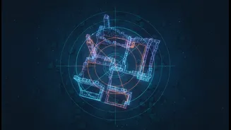
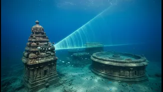
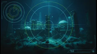
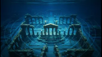
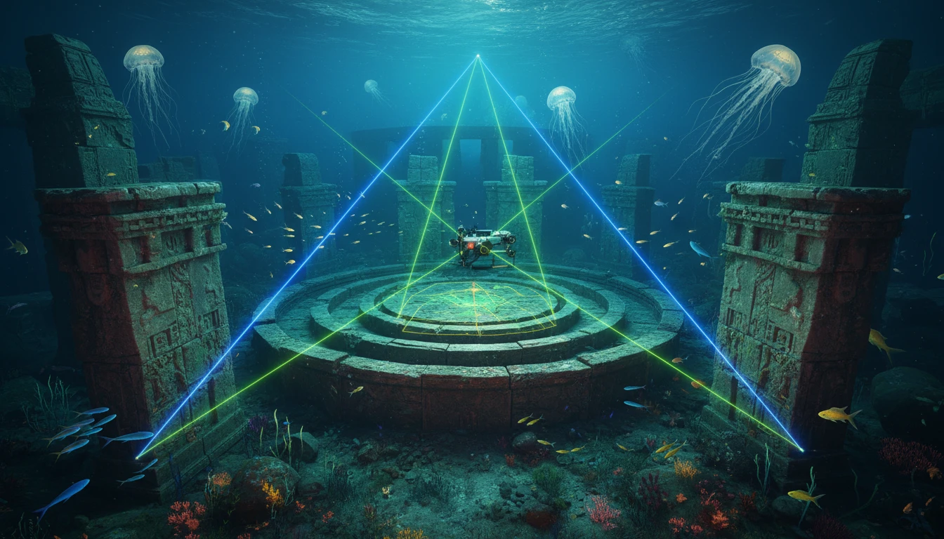
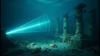
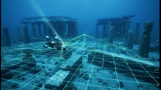
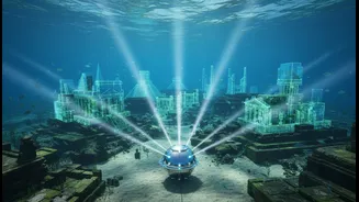
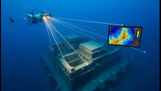
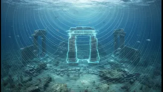
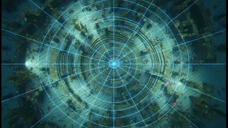
Enter advanced sonar mapping, a game-changer for marine archaeologists. Technologies like Multibeam Echosounders (MBES) and Side-Scan Sonar are at the forefront of this shift. Unlike old single-beam systems that recorded one depth point at a time, a multibeam echosounder sends out a wide, fan-shaped array of sound waves. By measuring the return echoes from thousands of points simultaneously, it creates incredibly detailed, three-dimensional maps of the seabed. Side-scan sonar complements this by providing image-like renderings of the ocean floor's texture, excellent for spotting the shapes of unnatural objects like shipwrecks or walls. Together, they allow researchers to 'see' through the water and sediment with unprecedented clarity, covering vast areas quickly and safely from a research vessel on the surface.
Revisiting the Legend of Poompuhar
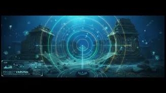
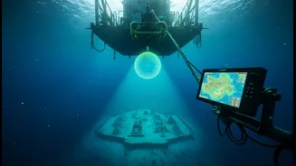
The most prominent application of this technology is the renewed search for Poompuhar, the legendary port capital of the Early Cholas. Mentioned extensively in Sangam literature like 'Silappatikaram', this once-thriving trade hub is believed to have been lost to the sea. Recent projects led by the Tamil Nadu State Department of Archaeology (TNSDA), in collaboration with institutions like the National Institute of Ocean Technology (NIOT), have deployed research vessels equipped with this advanced sonar. These surveys aim to map the seabed from Poompuhar to Nagapattinam, searching for structural anomalies that could indicate submerged harbours, buildings, or other remains of the ancient city. Preliminary data has already identified geological features and potential man-made structures that are now undergoing intense analysis.
More Than Just Finding Artifacts
The redefinition of archaeology mentioned in the headline isn't just about finding things faster. The high-resolution digital terrain models created by sonar do much more. They provide a complete contextual map of a submerged site before a single diver gets in the water. Archaeologists can study the layout of a potential settlement, identify the most promising areas for physical exploration, and understand the geological processes like coastal erosion that led to the site's submergence. This data-rich approach allows for more strategic and less invasive research. Remotely Operated Vehicles (ROVs) can then be sent down to visually inspect targets identified by the sonar, further refining the search and preserving the delicate underwater environment.
Charting the Future of India's Past
The initiatives along the Tamil Nadu coast are part of a broader push to enhance India's underwater domain awareness. While challenges in developing indigenous technology remain, collaborations between archaeological bodies and oceanographic institutes are proving fruitful. The success of these projects is not just about confirming legends like Poompuhar or the 'Seven Pagodas' of Mahabalipuram. It's about digitally reclaiming a vital part of India's maritime heritage. By creating a detailed digital atlas of its submerged past, India is building a foundation for future discoveries, better preservation strategies, and a deeper understanding of the powerful seafaring cultures that shaped the subcontinent's history.