




Our Planet's Watchful Guardians
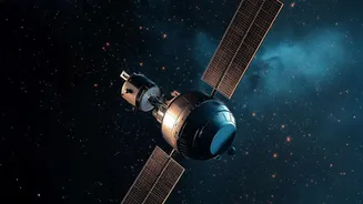
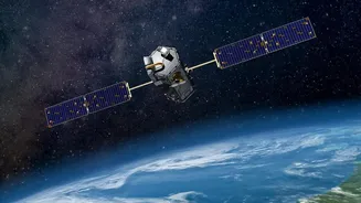
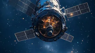
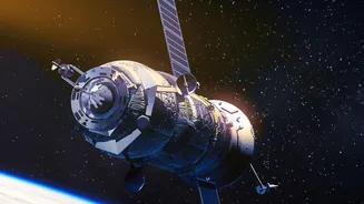
Earth Observation (EO) satellites are spacecraft equipped with powerful sensors designed to collect data about our planet's physical, chemical, and biological systems. This technology, broadly known as remote sensing, allows us to monitor vast areas of
the Earth's surface and atmosphere continuously. India, through the Indian Space Research Organisation (ISRO), operates one of the world's largest constellations of remote sensing satellites, starting with the IRS-1A in 1988. These satellites, part of programmes like Resourcesat, Cartosat, and INSAT, provide data crucial for agriculture, water management, urban planning, and disaster relief, making them a cornerstone of national development.
A Farmer's Best Friend in the Sky
For agriculture, satellites are a revolutionary tool. They help monitor crop health over vast farmlands, something impossible with ground surveys alone. Satellites do this by using sensors that measure the light reflected by plants in different wavelengths, including visible and near-infrared light, which our eyes cannot see. Healthy, dense vegetation absorbs visible light for photosynthesis but strongly reflects near-infrared light. This difference is used to calculate what's called the Normalized Difference Vegetation Index (NDVI). A high NDVI value indicates a thriving crop, while a low value can signal stress from drought, pests, or nutrient deficiency, often before the problem is visible from the ground. This allows farmers to apply water and fertilisers more precisely, improving yields and saving resources. ISRO's FASAL program uses this data to provide crop forecasts, helping in policy and pricing decisions.
Decoding the Weather and Climate
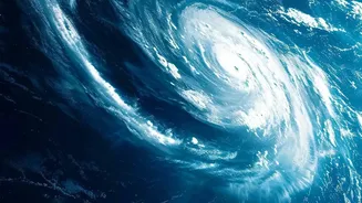
Weather satellites are indispensable for modern forecasting. They operate in two main types of orbits: geostationary and polar. Geostationary satellites hover over the same spot on the equator, providing constant updates on a specific region, which is essential for tracking fast-developing systems like cyclones and thunderstorms. Polar-orbiting satellites scan the entire globe, providing high-resolution data on temperature and humidity that is vital for long-range forecasts and climate studies. These satellites carry instruments that measure cloud temperature and movement, sea surface temperatures, atmospheric moisture, and wind speeds. This stream of data is fed into powerful computer models that generate the daily weather forecasts and severe weather warnings we rely on, particularly for predicting the monsoon's arrival and intensity.
Mapping a Changing Landscape
Our land is in a constant state of flux due to urbanisation, deforestation, and natural processes. Earth Observation satellites are our most effective tool for tracking these changes on a large scale. By comparing images of the same location taken at different times, analysts can map urban sprawl, monitor deforestation, and track the shrinking or expansion of glaciers and water bodies. This is critical for sustainable urban planning, managing natural resources, and environmental conservation. In the wake of natural disasters like floods or landslides, satellite imagery provides first responders with a clear view of the affected areas, helping to coordinate rescue and relief efforts. Advanced radar satellites can even see through clouds, providing crucial information day or night, regardless of weather conditions. The upcoming NISAR mission, a collaboration between NASA and ISRO, will use advanced radar to monitor land changes with unprecedented detail.