




Before the Bird’s-Eye View
Not long ago, weather forecasting was a ground-based affair. Meteorologists relied on a sparse network of weather stations, balloons, and reports from ships and aircraft to piece together a picture of the atmosphere. This approach left vast blind spots,
especially over the oceans where many major weather systems, like cyclones, are born. Predictions were often limited in accuracy and scope, making it difficult to provide timely warnings for severe weather. Forecasters could see what was happening locally, but struggled to understand the bigger, global picture that drives weather patterns.
Two Orbits, One Mission
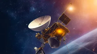
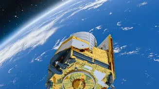
The satellite revolution in weather forecasting is powered by two main types of orbits, each with a distinct advantage. Geostationary (GEO) satellites, including India's INSAT series, are positioned about 36,000 kilometres above the Equator. They orbit at the same speed as the Earth's rotation, allowing them to continuously monitor the same geographical area. This constant vigil is perfect for tracking fast-developing events like thunderstorms and cyclones, providing updates as frequently as every 15 minutes. In contrast, Polar-orbiting satellites, also known as Low Earth Orbit (LEO) satellites, circle the globe from pole to pole at a much lower altitude of around 700-800 kilometres. As the Earth rotates beneath them, these satellites scan the entire planet twice a day, capturing high-resolution data essential for long-range forecasting models.
More Than Just Visible Images
Modern weather satellites see far more than just clouds. They are equipped with advanced sensors, or radiometers, that capture information across different parts of the electromagnetic spectrum. While visible imagery shows us what the human eye would see, infrared channels measure temperature. This allows forecasters to determine the height and temperature of cloud tops, a key indicator of a storm's intensity. Microwave sensors can peer through clouds to measure rainfall rates, sea surface temperatures, and even soil moisture. Furthermore, instruments called 'sounders', like those on ISRO's INSAT-3D and INSAT-3DR, create vertical profiles of temperature and humidity through the atmosphere, providing a three-dimensional view of its structure.
Powering Modern Prediction Models
The single greatest contribution of satellites is the sheer volume of data they provide for Numerical Weather Prediction (NWP) models. These are complex computer simulations that use the laws of physics to forecast the atmosphere's future state. Before satellites, these models were starved for data, especially over the oceans and poles. Today, satellite observations make up over 80% of the data ingested by these models, providing a comprehensive, global starting point. This constant stream of information on temperature, humidity, and wind has dramatically improved the accuracy of forecasts from a few hours to several days in advance.
The Real-World Impact in India
For India, with its long coastline and reliance on the monsoon, this technology is a lifesaver. ISRO's INSAT and Oceansat series of satellites provide the India Meteorological Department (IMD) with crucial data for tracking cyclones forming in the Bay of Bengal and the Arabian Sea. The improved track and intensity forecasts allow for more effective disaster management and timely evacuations. Satellite data also helps in monitoring the onset and progress of the monsoon, fog detection for aviation and railway safety, and even identifying farm fires that contribute to air pollution. This detailed environmental monitoring supports everything from agriculture to public health.