





More Than Just Pictures From Space
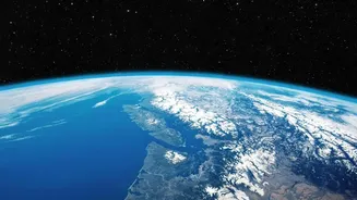
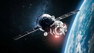
At its core, Earth Observation (EO) is the gathering of information about the planet's physical, chemical, and biological systems without making direct contact. While this includes the satellite images we are familiar with, it is far more complex. EO involves
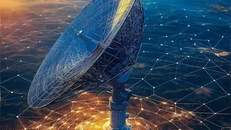
a host of remote sensing technologies, from satellites and aircraft to drones equipped with specialised sensors. These sensors can be passive, capturing reflected sunlight, or active, sending out their own signals like radar or LiDAR to create detailed 3D maps of the terrain. This allows scientists to collect a vast range of data, including temperature, atmospheric gas concentrations, land-use changes, and even the height of ocean waves, painting a comprehensive picture of our world.
A Pulse Check on the Planet's Health
One of the most critical applications of EO is monitoring the environment and the impacts of climate change. Satellites provide indispensable data for tracking deforestation, the melting of polar ice sheets, and rising sea levels. They can measure atmospheric pollution and pinpoint its sources, offering clear evidence for policymaking and environmental regulation. For instance, long-term data from satellite series like Landsat has been crucial for understanding the scale of urban sprawl and loss of natural habitats. This continuous monitoring allows scientists to identify trends, validate climate models, and assess the effectiveness of strategies designed to protect the environment.
Sowing the Seeds of Precision Agriculture
For the agricultural sector, Earth Observation is a game-changer. By using satellite data, farmers and agronomists can move towards precision agriculture, optimising resources and boosting yields. Satellite sensors can assess crop health across vast fields by detecting subtle changes in vegetation that are invisible to the human eye. This data helps in managing irrigation more efficiently, applying fertilisers precisely where they are needed, and predicting crop yields with greater accuracy. In India, EO has become a backbone for governance in agriculture, used for everything from monitoring crop cycles to settling insurance claims faster after droughts or floods.
A Guardian in Times of Crisis
When natural disasters strike, timely and accurate information is critical for saving lives. Earth Observation provides a crucial advantage in disaster management. Satellites can track the path of cyclones, identify areas likely to be affected by floods, and monitor the spread of wildfires in near-real-time. Following a disaster like an earthquake or a major flood, EO data helps authorities assess the extent of the damage, identify safe routes for emergency responders, and coordinate relief efforts when ground access is impossible. India's own constellation of remote sensing satellites plays a key role in these efforts, providing data that aids national and state disaster management agencies in their response.