







A New Sentinel in Orbit
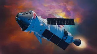
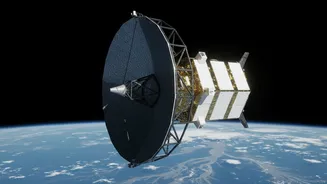
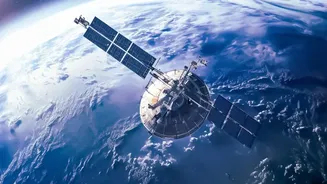
The game-changer is the NASA-ISRO Synthetic Aperture Radar (NISAR) satellite, a joint Earth-observation mission that represents a new era of international cooperation in space. Launched in July 2025, this sophisticated satellite is equipped with advanced
radar instruments designed to monitor our planet's complex processes with unprecedented detail. The mission is a partnership where NASA provided the L-band radar system and ISRO contributed the S-band radar and the launch vehicle. Orbiting at an altitude of 747 kilometres, NISAR will map the entire globe every 12 days, providing a consistent and reliable stream of data to scientists and disaster management agencies. Its primary goal is to observe and measure some of the planet’s most intricate processes, from the slow creep of glaciers to the sudden fury of earthquakes and floods.
The Power of Seeing Through Clouds
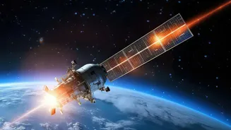
What makes NISAR so effective for flood forecasting is its core technology: Synthetic Aperture Radar (SAR). Unlike traditional optical satellites that are essentially taking a picture and are rendered useless by clouds, heavy rain, or darkness, SAR is an active sensor. It sends its own microwave signals towards the Earth and measures the returning echoes. This allows it to “see” the ground day or night, in any weather condition. For a country where monsoons are defined by heavy cloud cover, this all-weather capability is revolutionary. The satellite uses two different radar frequencies, L-band and S-band, which can penetrate through vegetation canopies to detect water-covered land that would otherwise be hidden from view. This provides a much clearer picture of how far floodwaters have spread, a critical piece of information for rescue and relief operations.
From Raw Data to Actionable Alerts
Having powerful technology in space is only half the battle. The true impact comes from turning its data into timely, actionable information. NISAR's data is processed and made available to agencies within hours for disaster scenarios, a significant leap forward. The radar images can reveal changes in water levels with centimetre-level precision, effectively acting as a network of virtual stream gauges across the country, even in remote areas without ground sensors. By comparing images taken just days apart, analysts can create detailed maps showing the extent and depth of flooding. This information helps authorities predict how a flood will progress downstream, identify the most severely affected areas, plan evacuation routes, and strategically position resources for a more effective response.
Saving Lives and Livelihoods
The ultimate benefit of more accurate flood forecasting is measured in human terms. A few extra hours or even a day of reliable warning can be the difference between life and death. It gives communities time to move people, livestock, and essential belongings to higher ground. For farmers, it can mean the chance to harvest crops before they are submerged. For urban planners, the data helps in designing more resilient infrastructure. The high-resolution data from NISAR allows for a much more granular assessment of risk, identifying specific villages or neighbourhoods in danger. This targeted approach to disaster management is far more effective than broad, region-wide warnings, ensuring that help reaches those who need it most, precisely when they need it.
Beyond the Floodplains
While its impact on flood management is profound, NISAR's mission is far broader. The same technology used to track floodwaters is also being applied to a host of other critical environmental challenges for India. It will monitor the health of Himalayan glaciers, track land subsidence caused by groundwater depletion, assess the biomass of forests, and monitor agricultural land to improve crop management. By detecting tiny movements in the Earth's crust, it will also provide valuable data for earthquake and landslide hazard assessment. This makes NISAR a multi-purpose tool for understanding and managing India’s natural resources and hazards in an era of accelerating climate change.