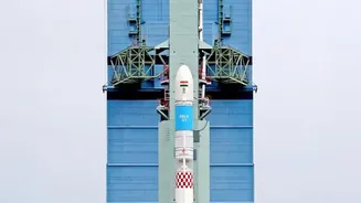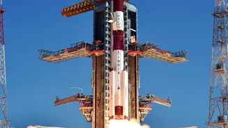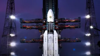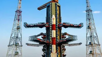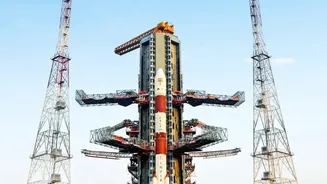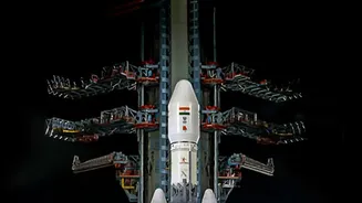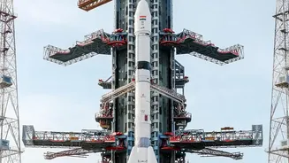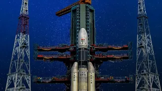


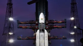
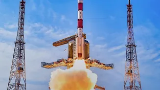
This Friday night, all eyes will turn to the skies above Sriharikota. The Indian Space Research Organisation (ISRO) is set to launch NVS-03, the latest satellite designed to bolster India’s homegrown navigation system, NavIC.
A Friday Night Spectacle
The Satish Dhawan Space Centre
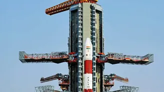
in Sriharikota is buzzing with activity for a spectacular night launch. On Friday, ISRO’s powerful Geosynchronous Satellite Launch Vehicle (GSLV) is scheduled to roar to life, carrying the NVS-03 satellite. Night launches are always a dramatic sight, painting the dark sky with fire and ambition. This mission is particularly significant as it continues the vital work of upgrading India's own version of GPS. The GSLV, in what will be its 20th flight, is tasked with precisely placing the 2,250 kg satellite into a Geosynchronous Transfer Orbit (GTO). From there, the satellite will perform a series of manoeuvres using its onboard Liquid Apogee Motor to reach its final orbital home.
The New Eye in the Sky
NVS-03 is the third in a new generation of advanced navigation satellites designed to ensure the continuity and enhance the services of the NavIC constellation. A crucial component is its indigenously developed Rubidium atomic clock. These clocks provide incredibly precise timing signals, which are the bedrock of any satellite navigation system. Failures in imported clocks on earlier satellites prompted ISRO to develop this critical technology in-house, marking a massive leap towards self-reliance. In another major upgrade, NVS-03 will broadcast signals in the L1 frequency band, in addition to the existing L5 and S bands. The L1 band is widely used by consumer devices globally, which is expected to make it easier for manufacturers to add NavIC support to everyday gadgets like smartwatches and phones.
Why NavIC Needs an Upgrade
NavIC, which stands for Navigation with Indian Constellation, is India’s independent regional navigation system. It was developed to provide accurate positioning and timing services over India and a surrounding region extending about 1,500 km beyond its borders. However, the operational capability of the constellation has been weakened recently. A minimum of four satellites are required for basic positioning, and the number of fully functional satellites in the original constellation had dropped to three due to age and technical issues, making the system unable to provide standalone services. This NVS-03 launch is critical to restoring the minimum requirement for NavIC to function independently and will revive its full capabilities.
More Than Just Maps
While most people associate navigation with smartphone maps, NavIC’s importance is far more profound. Its primary purpose is strategic. The concept for an independent system was born from India's experience during the 1999 Kargil conflict, when access to foreign-owned GPS data was denied. NavIC provides the Indian armed forces with a secure, encrypted navigation service that cannot be controlled or cut off by another nation. The civilian applications are equally transformative. NavIC supports terrestrial, aerial, and marine navigation, disaster management, vehicle tracking, fleet management, and secure timing for financial transactions. This launch reinforces that critical infrastructure, ensuring India has its own reliable 'eye in the sky' for both national security and economic progress.