





The View from Above Is Not Enough
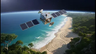
Satellites are phenomenal tools. From thousands of kilometres above, they provide a sweeping, data-rich view of our changing planet. They can track shoreline erosion with incredible precision, monitor the health of mangrove forests, and measure sea-level
rise down to the millimetre. This technology gives climate planners a crucial big-picture understanding of the threats facing our coasts. However, this top-down view has its limits. A satellite can show that a coastline is eroding, but it cannot explain why a particular village's ancestral fishing grounds are disappearing, nor can it capture the decades of subtle environmental shifts observed by the people who live there. For all their power, satellites provide the 'what' but often miss the 'why' and the 'how'—the granular, lived experience that is essential for effective local action.
The Wisdom from the Ground
For generations, coastal communities in India have cultivated a deep, nuanced understanding of their environment. This is often called Traditional Ecological Knowledge (TEK) or Indigenous Knowledge. It is a living library of information passed down through generations, based on daily observation and a direct relationship with nature. A fishing community knows the subtle changes in water currents that signal a coming storm long before a weather alert. Villagers living near mangroves know which species are the hardiest and best for protecting the shore from storm surges. This knowledge isn't just anecdotal; it represents a long-term, high-resolution dataset on local ecosystem dynamics, biodiversity, and climate variability that modern science is only beginning to appreciate.
A Powerful Partnership
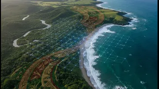
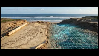
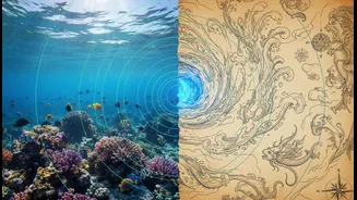
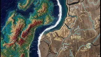
The most exciting developments in climate planning today are happening where these two knowledge systems meet. Instead of seeing technology and tradition as opposing forces, researchers and communities are integrating them. Satellite data can identify a large area of degraded coastline, for instance, while local elders can then pinpoint the specific, culturally significant zones within that area that need priority protection. Participatory mapping projects allow community members to add their own data layers—like sacred groves or traditional fishing routes—onto high-tech GIS maps. This fusion provides a richer, more complete picture. The satellite provides the scale, and the community provides the soul, context, and historical depth, leading to more accurate and relevant climate models.
Resilience in Action on India's Coasts
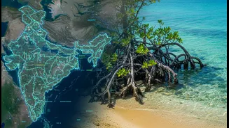
Across India, this integrated approach is starting to take root. In states like Odisha, Maharashtra, and Andhra Pradesh, a major project is enhancing the climate resilience of coastal communities by combining ecosystem restoration with community-led management. The project focuses on restoring natural buffers like mangroves, which not only protect against storm surges but also support local livelihoods. Crucially, it establishes co-management structures where community representatives and government departments work together. This ensures that restoration efforts are guided by local expertise and that communities have ownership over the solutions. It’s a shift from simply building concrete sea walls to a more holistic strategy of working with nature, guided by the people who know it best.
Building Trust, Not Just Breakwaters
This approach is about more than just better data; it's about equity and empowerment. For too long, the knowledge of local and Indigenous communities has been dismissed or ignored in top-down planning processes. By formally integrating community evidence into climate adaptation, we validate this knowledge and empower the people who are on the front lines of climate change. When communities are seen as partners in research and planning, the solutions that emerge are more likely to be accepted, effective, and sustainable in the long run. This builds trust between officials and citizens, which is a critical resource—and just as important as any physical infrastructure—in the face of environmental uncertainty.