




Strengthening Disaster Management
One of the most critical roles of Indian satellites is in disaster management, where they function as an early warning system. The INSAT series of meteorological satellites, for instance, provides continuous observation that helps the India Meteorological
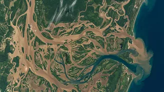
Department (IMD) track the formation, intensity, and path of cyclones with a lead time of three to five days. This capability was crucial in achieving near-zero casualties during powerful cyclones like Fani and Amphan by enabling timely evacuations. After a disaster strikes, satellites like the Cartosat and RISAT series provide high-resolution imagery to map the extent of damage from floods, landslides, or earthquakes. ISRO's National Remote Sensing Centre (NRSC) can deliver these crucial damage assessment maps to authorities within 24 to 48 hours, allowing for targeted and efficient relief efforts.
Boosting Agricultural Productivity
With more than half of India's land area used for farming, satellites have become an indispensable tool for the agricultural sector. Earth observation satellites help create detailed maps of cropped areas and assess the health of plants by analysing vegetation greenness. This data allows for precise yield forecasting and helps identify water-stressed regions or crop diseases before they become widespread. Platforms are increasingly combining satellite imagery with AI to provide farmers with actionable advice through mobile apps. This technology helps in optimising the use of water and fertilisers, which is crucial for improving crop yields on small farms that might otherwise be difficult to monitor. This shift to data-driven farming supports food security and is also transforming the rural credit system, as banks begin using satellite-based risk scores to evaluate agricultural loans.
Enhancing National Security
Monitoring India’s vast 7,500-kilometre coastline and extensive land borders is a monumental task that would be impossible without satellite technology. A dedicated constellation of satellites, including the Cartosat and RISAT series, provides round-the-clock surveillance for strategic purposes. The RISAT satellites are particularly valuable as their radar imaging capabilities can see through clouds and operate day or night, ensuring continuous monitoring of border regions and maritime activities. These satellites serve as early warning systems, detecting potential threats and hostile movements. They provide high-resolution imagery for target identification and post-strike damage assessment, forming the backbone of India’s modern defence and strategic planning infrastructure.
Guiding Urban and Infrastructure Planning
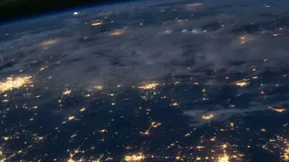
As India's cities continue to grow, managing urbanisation requires careful planning, and satellites provide the high-level view needed for the job. High-resolution imagery from satellites like Cartosat is used to monitor urban sprawl, map land use patterns, and identify unauthorised construction. This data is crucial for urban planners in designing sustainable infrastructure, including transportation networks and zoning regulations. Beyond city limits, satellite data helps in monitoring the progress and alignment of major national infrastructure projects such as highways and railways. This remote monitoring capability ensures that large-scale development projects stay on track and adhere to planned routes, contributing to more organised and efficient national development.
Monitoring Environmental Health
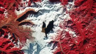
Satellites are vital tools for keeping a check on the country's environmental health and the impacts of climate change. They are used to track deforestation, monitor the health of glaciers in the Himalayas, assess water resources in reservoirs and rivers, and even track air pollution. The recently launched NISAR satellite, a joint project between ISRO and NASA, will map the entire planet every 12 days with unprecedented detail. It will provide crucial data on retreating glaciers, shifting groundwater levels, and changes in forests and wetlands. This information is essential for policymakers and scientists to understand and mitigate the effects of climate change, manage natural resources sustainably, and protect India's diverse ecosystems for future generations.