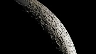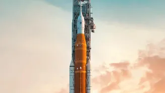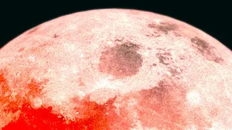

The Moon’s far side has always been a place of mystery, hidden from Earth’s view. Now, thanks to the crewed Artemis II mission that flew by the Moon in April 2026, NASA has released a trove of new data, giving us our most detailed look yet.
Beyond What We Knew
For decades,
our understanding of the lunar far side came from robotic probes. While missions like the Lunar Reconnaissance Orbiter provided foundational maps, the Artemis II flyby represents a monumental leap forward. The key difference lies in the combination of advanced sensors aboard the Orion spacecraft and the real-time observations of a trained human crew. Astronauts Reid Wiseman, Victor Glover, Christina Koch, and Jeremy Hansen were not just passengers; they were active geological observers. Guided by scientists back on Earth, they used high-resolution cameras to target specific features of scientific interest, providing context that an automated system might miss. The result is a richer, more nuanced dataset that layers human insight over petabytes of instrument readings.
Unlocking the Secrets of a Giant Crater
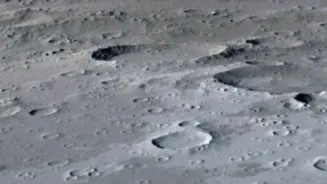
A primary focus of the mission was the South Pole-Aitken (SPA) basin, a colossal impact crater stretching across nearly a quarter of the Moon. As the oldest and largest known impact structure in our solar system, the SPA basin is a time capsule from billions of years ago. Previous data had revealed a strange mass anomaly deep beneath its surface, thought to be the metal core of the asteroid that created it. The new data from Artemis II's suite of sensors provides a much higher-resolution gravity map of the region. This is helping scientists refine their models of the basin's formation and the internal structure of the Moon. By studying the crater's composition and geology, we learn not only about the Moon's history but also about the violent early days of the entire solar system.
A New Perspective on Lunar Volcanism
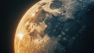
One of the enduring puzzles of the Moon is its two-faced nature. The near side is marked by vast, dark plains of ancient volcanic lava called 'maria', while the far side is almost entirely devoid of them. The crust on the far side is also significantly thicker. Scientists have long debated why this is. The detailed imagery and compositional data from Artemis II are offering new clues. The crew was able to capture images of smaller, previously unresolved volcanic features and mineral deposits on the far side. This suggests that while large-scale volcanism was rare, smaller eruptions may have been more common than once thought. Understanding this difference is key to piecing together how the Moon cooled and evolved after its formation.
Paving the Way for Boots on the Ground
The findings from Artemis II are more than just academic. They are directly informing the planning for Artemis III and IV, the missions that will land humans on the Moon for the first time since 1972. The high-resolution maps of the far side and the southern polar region help mission planners identify safe and scientifically interesting landing sites. Data on the far side's terrain, even from a flyby, is critical for understanding potential resources like water ice, which is believed to be trapped in permanently shadowed craters near the south pole. Furthermore, the mission served as a vital test of the Orion spacecraft's life support, navigation, and radiation protection systems, proving them ready for future, longer-duration stays on the lunar surface.