






A Groundbreaking Eye in the Sky
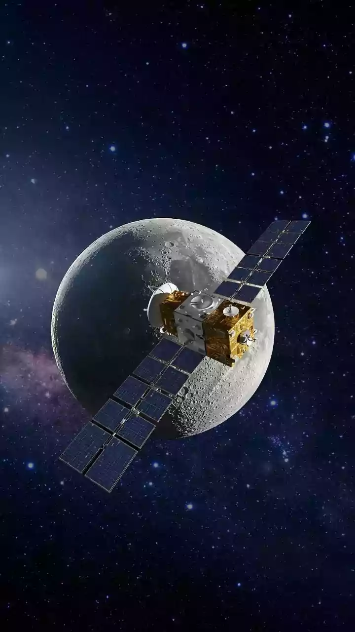
The NASA-ISRO Synthetic Aperture Radar (NISAR) mission is a state-of-the-art Earth observation satellite, representing a significant milestone in the partnership between the two space agencies. Launched from Indian soil, its primary goal is to provide
unprecedentedly detailed data on the changes happening to our planet's land and ice surfaces. Orbiting the Earth every 12 days, NISAR is equipped with two advanced radar systems that work in concert to scan the globe. This frequent, reliable coverage gives scientists and disaster management authorities a consistent and dynamic view of the Earth, helping them track everything from crop health to the subtle ground movements that might signal an impending landslide or earthquake. But one of its most immediate and vital applications is in the fight against floods.
Seeing Through Clouds and Darkness
A major challenge in monitoring floods, especially during the monsoon, is persistent cloud cover, which blinds traditional optical satellites. NISAR's key technology, Synthetic Aperture Radar (SAR), overcomes this limitation. SAR instruments actively send microwave signals towards the Earth and analyze the returning echoes. This allows the satellite to effectively 'see' through clouds, smoke, and even darkness, providing clear images day or night, in any weather. This all-weather capability is a game-changer for disaster response. When a cyclone is bearing down or a river is swelling under heavy monsoon rain, authorities can no longer be left blind by the very weather they need to monitor.
Before, During, and After the Deluge
NISAR's impact on flood management can be seen across all phases of a disaster. Before a flood, its data can help create highly accurate vulnerability maps by monitoring soil moisture and land changes, identifying areas most at risk. During a flood, its ability to penetrate cloud cover and even dense vegetation provides a clear and rapid assessment of the inundation's extent. This allows for precise, near-real-time mapping that can guide rescue teams to the worst-affected areas and help officials make critical decisions about where to allocate resources. The satellite can detect changes in water levels down to a centimetre, effectively acting as a network of virtual stream gauges across vast, remote floodplains. After the waters recede, NISAR's data is crucial for assessing the damage to crops, infrastructure, and homes, which speeds up recovery efforts and informs more resilient rebuilding strategies.
A New Era for Indian Disaster Management
For years, ISRO has utilized satellite data to monitor and map floods across India, creating comprehensive atlases that help in planning and mitigation. The NISAR mission dramatically enhances these capabilities. Its dual-frequency L-band and S-band radars offer richer, more detailed information than previous systems. The L-band radar is particularly effective at detecting standing water beneath forest and crop canopies, a common scenario in many Indian states that was previously difficult to assess accurately. By integrating NISAR data into existing early warning systems, Indian authorities can move from a reactive to a more proactive and anticipatory approach to disaster management. This means not just responding to floods as they happen, but better predicting their severity, duration, and impact, ultimately saving lives and livelihoods.








