

What is GISAT-1A?
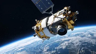
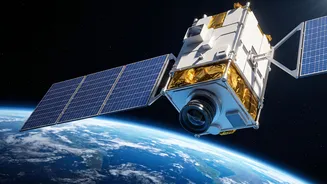
GISAT-1A, also designated EOS-05, is a state-of-the-art Earth observation satellite developed by ISRO. Weighing over 2,200 kilograms, its primary purpose is to provide near real-time, high-resolution images of the Indian subcontinent. Unlike most Earth-watching
satellites that orbit the planet multiple times a day in Low Earth Orbit (LEO), GISAT-1A is designed for a geostationary orbit, a feature that makes it exceptionally powerful for continuous monitoring. The satellite will be launched aboard the GSLV-F17 rocket from the Satish Dhawan Space Centre in Sriharikota. This mission is particularly significant as it follows a previous unsuccessful attempt to launch its predecessor in 2021, making this a crucial flight for ISRO.
The Geostationary Advantage
The game-changing feature of GISAT-1A is its destination: a geostationary orbit approximately 36,000 kilometres above the Earth's equator. At this altitude, a satellite's orbital period matches the Earth's rotation. In simple terms, this means GISAT-1A will appear to remain stationary over a fixed point above India. While LEO satellites get only a fleeting glimpse of a specific area as they pass over it, GISAT-1A will have India's landmass in its continuous line of sight. This 'persistent stare' capability is what sets it apart, allowing for constant surveillance and rapid data collection of a large, specific geographical area. It’s the difference between a fly-by snapshot and a dedicated, 24/7 security camera.
An Unblinking Eye: Imaging Capabilities
GISAT-1A is equipped with sophisticated imaging instruments, including a 700mm Ritchey-Chrétien telescope. It can capture images in multiple spectral bands, including visible, near-infrared, and short wave-infrared. This allows it to see more than the human eye, detecting variations in vegetation, mineral content, and surface temperatures. The satellite's agility is remarkable. It can scan the entire Indian mainland every 30 minutes with a spatial resolution of 42 metres. If a specific area of interest is identified—say, a developing cyclone or activity along the border—it can steer its sensors to capture images of that smaller region every five minutes. This rapid revisit capability provides an unprecedented level of real-time monitoring.
A Guardian for Natural Disasters
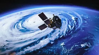
One of the most critical civilian applications of GISAT-1A is disaster management. Events like cyclones, floods, forest fires, and landslides evolve rapidly. The satellite’s ability to provide frequent updates will enable authorities to track the progress of these hazards in near real-time, issue timely warnings, and coordinate more effective rescue and relief efforts. For a country with a long coastline and varied terrain prone to natural calamities, this capability is invaluable. By continuously monitoring cloud patterns, water levels in reservoirs, and vegetation dryness, GISAT-1A will serve as a crucial tool in strengthening India's early warning systems and protecting lives and property.
Strategic Importance for National Security
While it has numerous civilian benefits, the strategic importance of GISAT-1A cannot be overstated. The ability to continuously monitor the country's vast land and maritime borders is a significant boost to national security. The satellite can be tasked to keep a close watch on specific areas of interest, providing real-time intelligence that aids in operational planning for the armed forces. This constant surveillance helps in monitoring troop movements, infrastructure development, and other activities in sensitive regions. While most Earth observation satellites provide periodic updates, GISAT-1A’s persistent monitoring offers a tactical advantage, ensuring that any changes on the ground can be detected and analysed swiftly.
Broadening Horizons: Other Applications
Beyond disaster management and defence, GISAT-1A's capabilities extend to several other sectors. Its spectral imaging instruments will be useful for agriculture by monitoring crop health, assessing soil moisture, and predicting yields. In forestry, it can help track deforestation and monitor forest health. Other applications include mineralogy, monitoring snow and glacier melt, and oceanography. By providing a rich and continuous stream of data about the country's natural resources, the satellite will support better resource management and environmental planning for years to come.