



A Foundation of Fragility
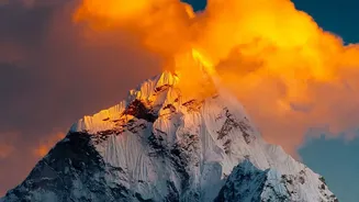
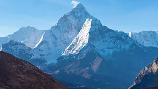
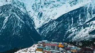
The story of Nepal's flood risk begins with its very foundations. The Himalayas are geologically young and active mountains. Formed by the ongoing collision of the Indian and Eurasian tectonic plates, the rock here is often soft, fractured, and unstable.
This makes the steep slopes that define the country incredibly prone to landslides. Unlike older, more weathered mountain ranges, the Himalayas are in a constant state of flux. Earthquakes, like the devastating 2015 event, can further weaken the terrain, creating deep fissures and destabilizing entire hillsides that can give way years later. This inherent geological fragility means that the land itself is primed to move, especially when water is added to the equation.
The Unrelenting Monsoon
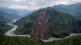
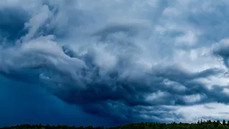
The primary trigger for these disasters is the South Asian monsoon, which delivers about 80% of Nepal's annual rainfall between June and September. When these moisture-laden clouds hit the wall of the Himalayas, they are forced upwards, cooling and dumping immense amounts of water in concentrated bursts. This intense rainfall saturates the already fragile soil and rock. Once the ground can absorb no more, the water turns into surface runoff, gathering speed as it flows down steep inclines. This process can easily trigger landslides, where huge volumes of soil, rock, and debris slide into the rivers below, a common sight in Nepal's hilly regions. In many cases, these landslides can temporarily block rivers, creating natural dams. When the immense pressure of the backed-up water causes these dams to fail, a devastating wall of water and debris is released downstream.
The Valley's Deadly Shape
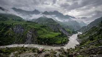
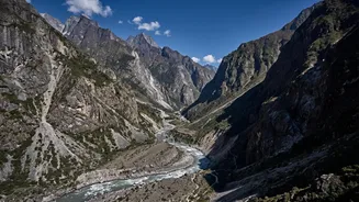
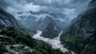
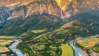
The very shape of Nepal's river valleys makes them perfect conduits for destruction. Most are steep, narrow, V-shaped gorges. When a massive volume of water—whether from extreme rainfall or a landslide dam burst—enters this confined space, it has nowhere to spread out. Instead, the floodwaters pile up, gaining height, speed, and immense destructive power. The river becomes a torrent that scours the valley floor, picking up boulders, trees, and anything else in its path. This mixture of water and debris, sometimes called a debris flow, is far heavier and more destructive than water alone, capable of destroying concrete bridges and buildings that a normal flood might leave standing. This turns the entire valley into a high-velocity flood corridor, leaving little time for communities downstream to react.
The Climate Change Multiplier
Climate change is acting as a dangerous risk multiplier in the Himalayas. Global warming is causing glaciers to melt at an accelerated rate. This meltwater often collects in high-altitude lakes, dammed by unstable walls of rock and ice known as moraines. These are known as glacial lakes, and as they grow, the risk of a Glacial Lake Outburst Flood (GLOF) increases. A GLOF occurs when the moraine dam fails, releasing a catastrophic flood wave downstream. Furthermore, a warmer atmosphere holds more moisture, leading to more erratic and intense rainfall events, which can trigger more landslides and floods. This means the 'trigger' for these events is becoming more frequent and severe.
The Human Element
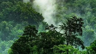
Natural forces are not the only culprits. Human activities have significantly exacerbated the risks. Unplanned road construction, often involving cutting into steep and unstable slopes, creates new pathways for landslides. Deforestation weakens the ability of hillsides to hold soil and absorb water, increasing runoff and erosion. Moreover, growing populations and rapid urbanization have led to settlements being built on floodplains and along riverbanks—areas that are naturally part of the river's high-water channel. This encroachment not only puts more people and property in direct harm's way but can also narrow the river channel, causing floodwaters to rise even higher.