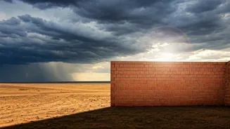


The Preceding Heatwave
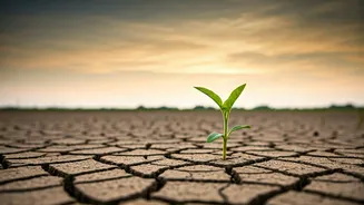
Before the clouds gathered, much of Central India was in the grip of a relentless heatwave. States like Madhya Pradesh, Maharashtra (particularly the Vidarbha and Marathwada regions), and Chhattisgarh saw temperatures consistently soaring above 44-45
degrees Celsius. This wasn't just uncomfortable; it was dangerous. The scorching sun baked the earth, depleted water sources, and put immense strain on power grids as air conditioners worked overtime. For farmers, the situation was dire. The parched soil made pre-sowing activities nearly impossible, and the intense heat threatened both livestock and existing crops. Daily life for millions was dictated by the sun's oppressive presence, with activity slowing to a crawl during the peak afternoon hours.
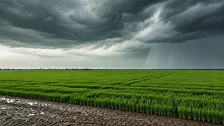
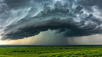
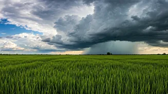
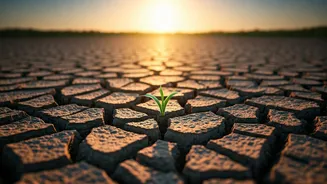
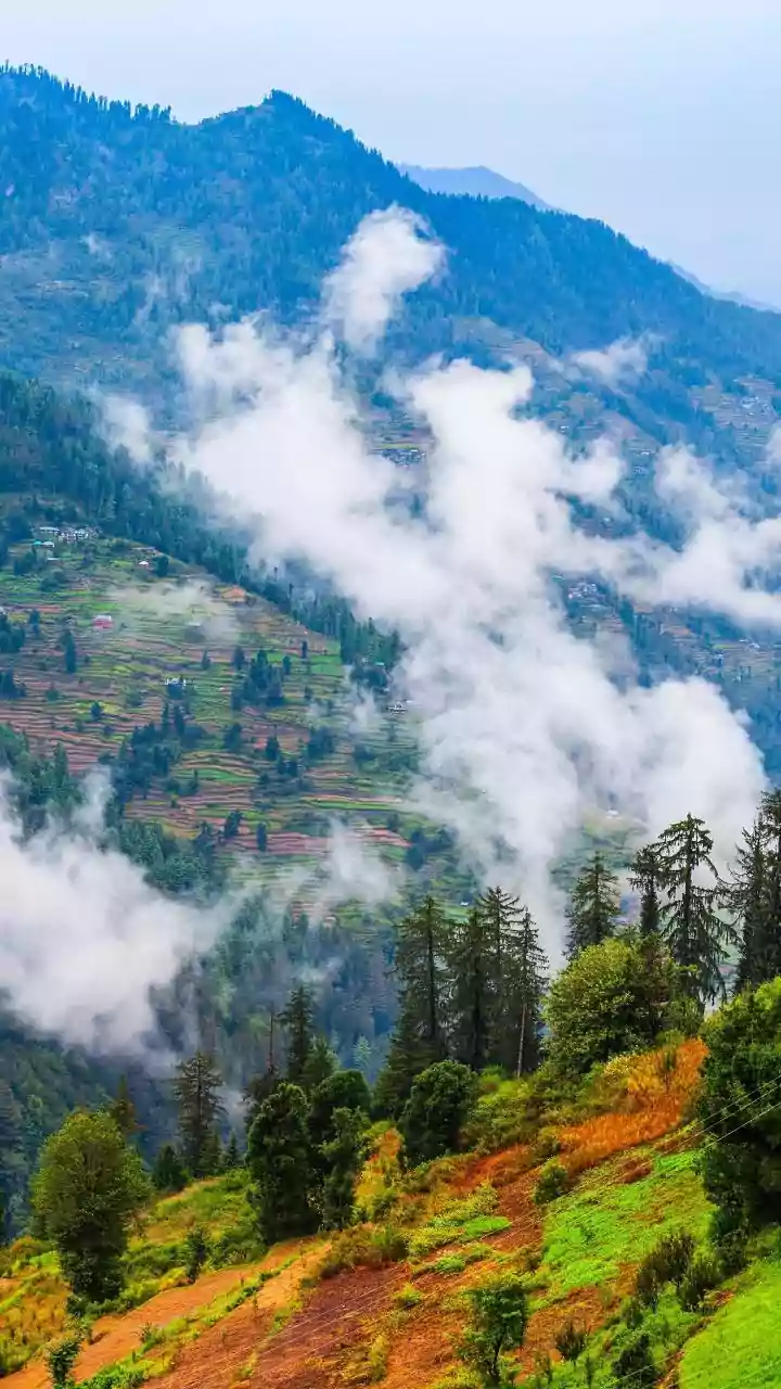
A Brief but Welcome Downpour
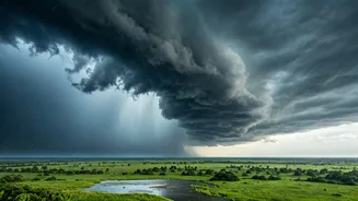
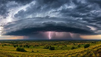
The recent arrival of pre-monsoon thundershowers felt like a direct answer to a collective prayer. Accompanied by gusty winds and lightning, these spells of rain, while scattered, were significant. They brought an immediate and dramatic drop in temperature, offering a respite that was more than just physical. The psychological relief of a cool breeze and the scent of petrichor—the earthy smell of rain on dry ground—cannot be overstated. In cities, it washed away the dust and grime, and in rural areas, it provided a sliver of hope. However, these showers are, by their very nature, a localised and temporary phenomenon. They are not the widespread, sustained rainfall that defines the monsoon season itself.
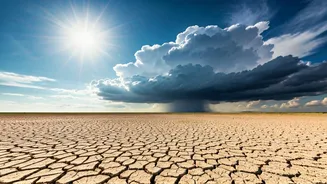
Understanding the Deficit Numbers
Here's where the good news meets a harsh reality. According to the India Meteorological Department (IMD), the pre-monsoon season (March to May) for the country as a whole has been exceptionally dry. Nationwide, the rainfall deficit during this period has been reported to be over 20% below the long-period average (LPA). For Central India, the figures have been even more stark, with some meteorological subdivisions reporting deficits as high as 60-70% before these recent showers. A few hours of rain, however intense, cannot erase a deficit that has built up over three months. Think of it like a bank account that is severely overdrawn. A small deposit is helpful and feels good, but it doesn't solve the underlying debt. The ground is so dry that much of the initial rainwater is lost to runoff, and it will take sustained precipitation to truly begin replenishing groundwater levels.
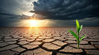
Relief vs. Recovery
It is crucial to distinguish between immediate relief and long-term recovery. The pre-monsoon showers provide relief from heat stress. They cool the air, settle the dust, and offer a brief window for some agricultural activities. This is invaluable for the well-being of people and livestock. Recovery, on the other hand, is a much larger-scale process. It means refilling our reservoirs, recharging our aquifers, and restoring soil moisture to levels needed for a successful Kharif planting season. That kind of recovery is entirely dependent on the performance of the main southwest monsoon, which typically sets in over Kerala in early June and progresses across the country over the following weeks. The current showers are the opening act; the main performance is yet to begin.
What the Monsoon Forecast Holds
All eyes are now on the official monsoon forecast. The IMD has predicted an 'above-normal' monsoon for 2024, which is a significant source of optimism. This forecast is partly based on the expected development of La Niña conditions in the Pacific Ocean, which are generally associated with a stronger monsoon in India, and a weakening El Niño. If this forecast holds true, the sustained, widespread rains from June to September could compensate for the pre-monsoon deficit. A healthy monsoon is the lifeline of the Indian economy, crucial for agriculture, which employs a significant portion of the population, and for replenishing the country's water supply for the rest of the year. The timely onset and good distribution of these rains will be the real test.