


An Unblinking Eye in the Sky
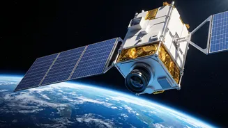
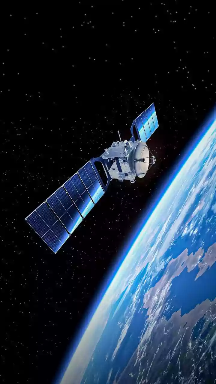
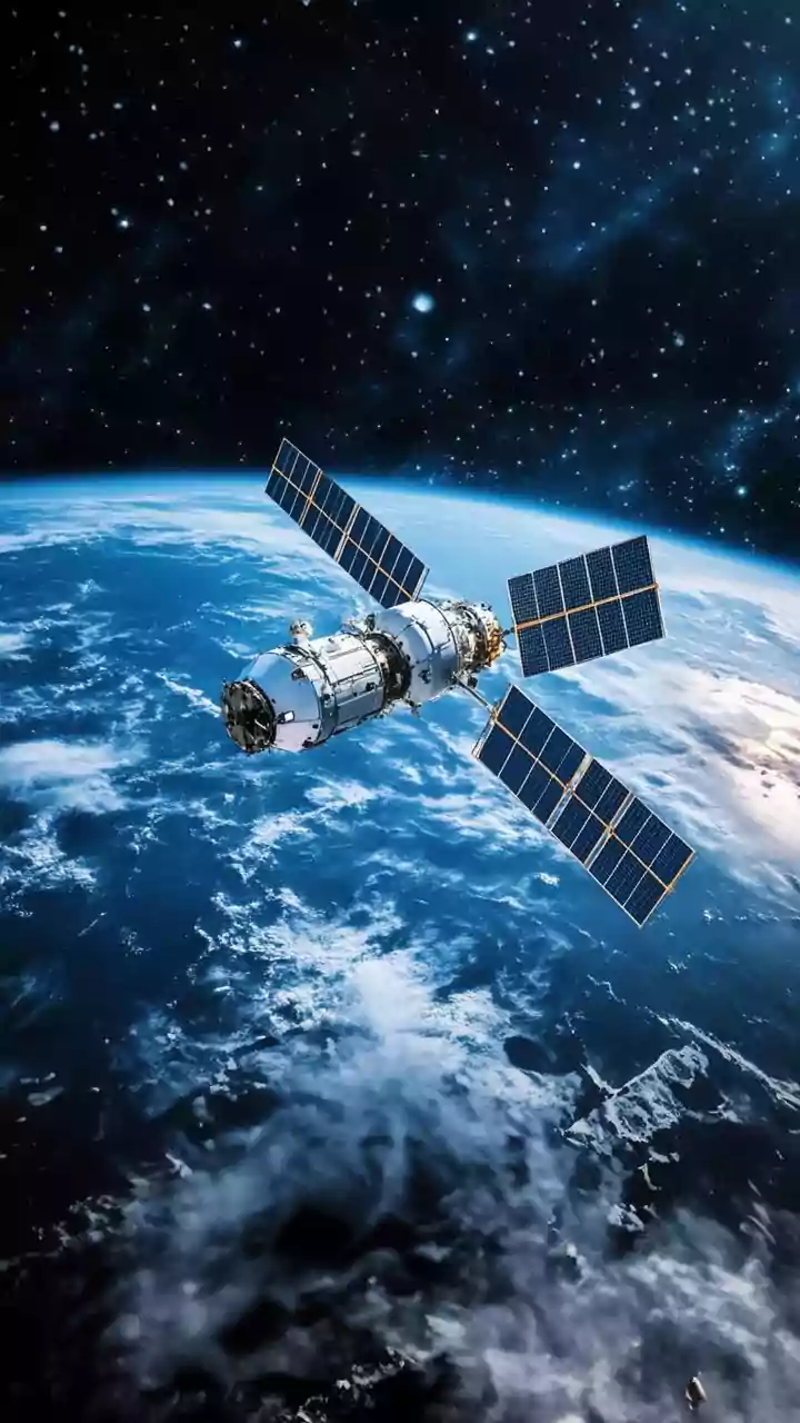
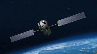
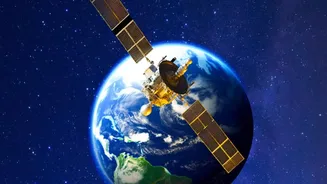
Imagine a security camera that never looks away. Now, place that camera 36,000 kilometres above the Earth. This is the essence of a geostationary orbit. A satellite placed here moves at the same speed as the Earth's rotation, making it appear fixed over
a single spot. Unlike other satellites that circle the globe every few hours, a geostationary one provides constant, uninterrupted coverage of a vast area—roughly one-third of the planet's surface. For India, this means having a persistent eye over the entire subcontinent and the surrounding oceans, 24 hours a day, 7 days a week. This unblinking capability is the foundation upon which the strategic importance of a mission like GISAT-1A is built.
The Crucial Lesson of GISAT-1
To understand the future, we must look to the past. India’s first attempt at this capability was with GISAT-1 (also known as EOS-03) in August 2021. The mission's objective was precisely this: to place a state-of-the-art imaging satellite into a geostationary orbit. Unfortunately, the launch vehicle experienced a failure in its final cryogenic stage, and the satellite was lost. While the loss was a significant setback for the Indian Space Research Organisation (ISRO), it did not diminish the strategic imperative. Every mission, successful or not, provides invaluable data. The ambition behind GISAT-1 remains a core priority, setting the stage for its successor, GISAT-1A, to finally realise that vision.
GISAT-1A: The Vision Rebooted
The designation GISAT-1A, also known as EOS-05, represents more than just a mission name; it symbolises India's renewed determination to master this critical space technology. After the 2021 failure, ISRO is preparing for a September 2026 launch of the replacement satellite aboard a GSLV rocket. A successful mission would place a powerful imaging instrument in that coveted geostationary spot. This is not just about taking pictures. It is about collecting data that allows scientists and strategists to see things the human eye cannot, from moisture levels in soil to the development of cyclones. This next-generation satellite would be the fulfillment of a long-held goal, a testament to the nation's resilience in the face of technical challenges.
A Game-Changer for Disaster Management
For a country frequently exposed to cyclones, floods, and forest fires, the ability to monitor natural disasters in near real-time is a life-saving superpower. Current polar-orbiting satellites provide snapshots, but a geostationary satellite offers something closer to a live feed. It can image the entire Indian landmass every half hour and a select region every five minutes. This means authorities could track the formation and path of a cyclone continuously, enabling more precise warnings and efficient evacuations. In the case of floods, it could monitor river levels dynamically, helping direct rescue and relief efforts to where they are most needed. This shift from periodic updates to constant monitoring would revolutionise India's disaster response infrastructure.
Securing India's Strategic Interests
Beyond civilian applications, the strategic implications are immense. A geostationary imaging satellite provides an unparalleled advantage in national security. It allows for persistent surveillance over India's borders and vast maritime territories, including the entire Indian Ocean region. This constant watch is crucial for monitoring troop movements, tracking naval vessels, and safeguarding critical assets without tipping off adversaries with the predictable pass of a lower-orbit satellite. In an increasingly complex geopolitical landscape, having this "overwatch" capability is not a luxury but a necessity for maintaining regional stability and protecting national sovereignty. It acts as a powerful deterrent and an indispensable tool for the country's defence and intelligence agencies.