




The Planet’s Moving Skin
The foundation of this process is the theory of plate tectonics. It states that Earth's rigid outer layer, the lithosphere, is broken into a series of massive plates that float on the semi-fluid mantle below. These plates are not static; they are in constant,
slow-motion transit, interacting at their boundaries. They can collide, slide past one another, or, most importantly for our story, pull apart. It is this pulling apart, or divergence, that gives birth to new seafloor. The entire system is driven by immense heat from the Earth’s core, which creates convection currents in the mantle, acting like a giant engine that propels the plates across the globe.
How New Seafloor is Born
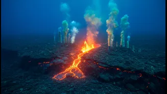
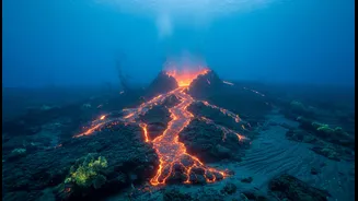
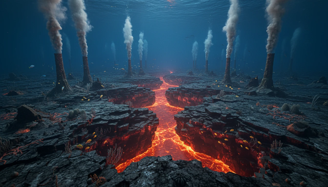
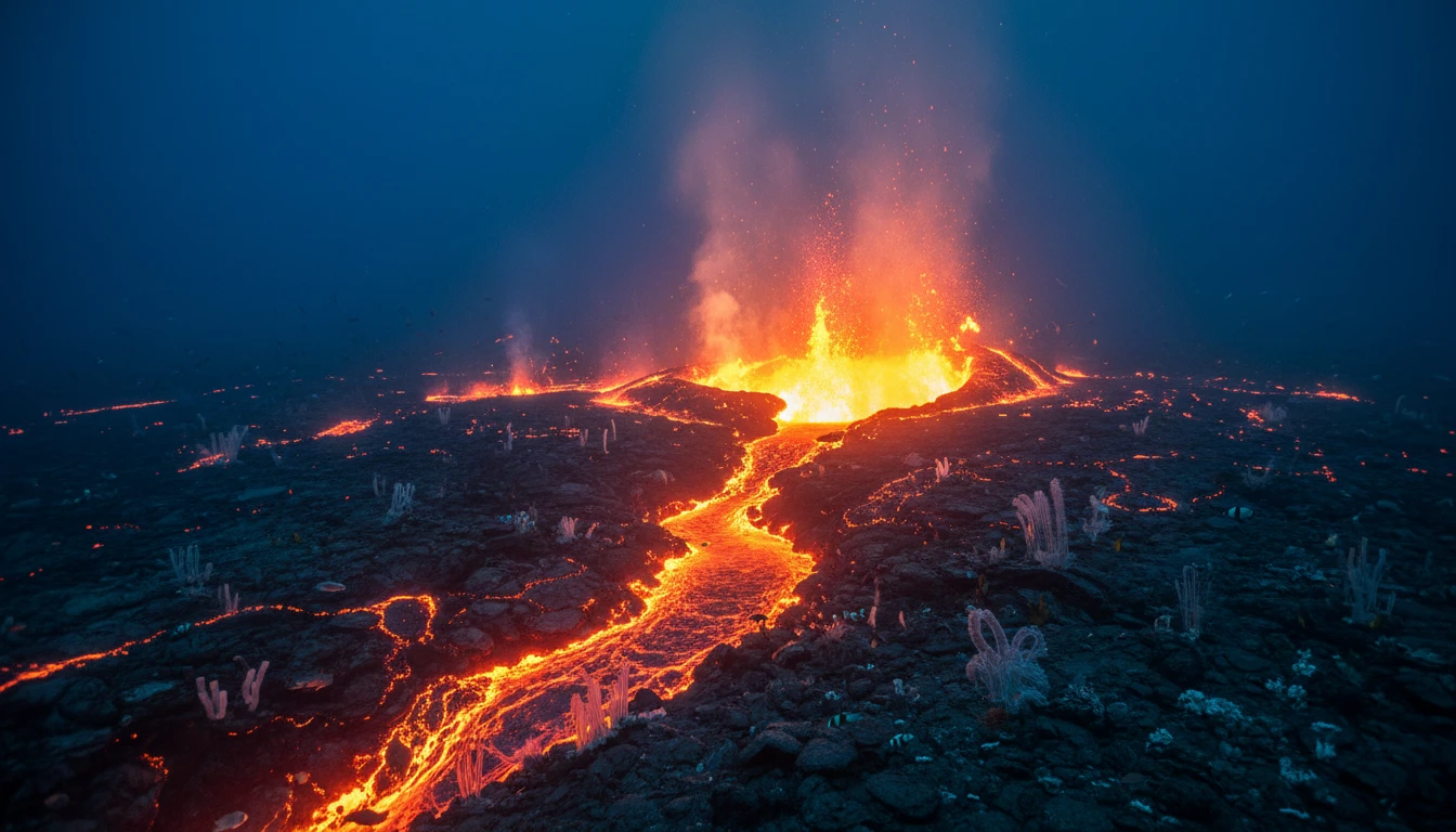
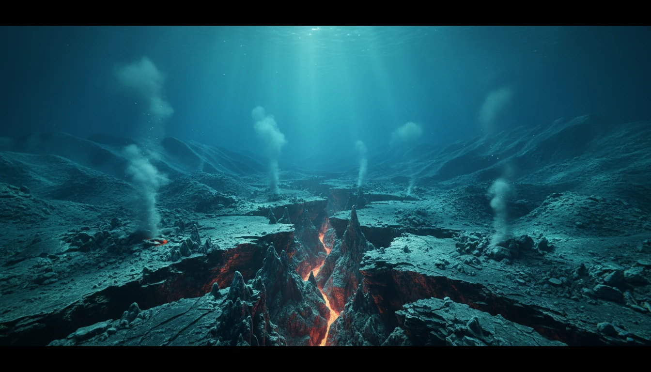
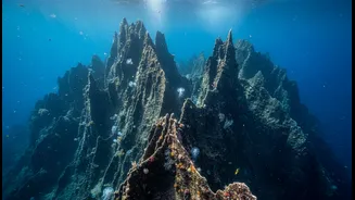
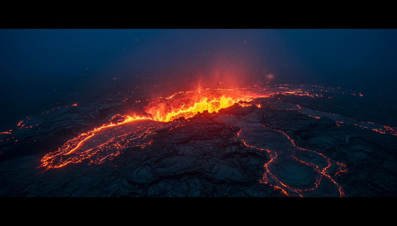
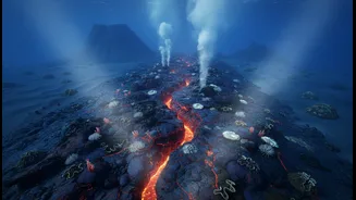
Seafloor spreading happens at underwater mountain ranges called mid-ocean ridges. Think of these ridges as long seams stretching across the planet's surface. As tectonic plates on either side of a ridge move apart, the pressure on the underlying mantle is reduced, allowing molten rock, or magma, to rise and fill the gap. When this hot magma meets the cold ocean water, it cools and solidifies, forming new oceanic crust. This process is continuous, like a geological conveyor belt. As more magma erupts, it pushes the newly formed crust outwards, causing the ocean basin to widen over millions of years. The age of the seafloor provides clear evidence for this: the crust is youngest at the ridge and progressively older the farther you move away from it.
The Indian Ocean’s Active Heart
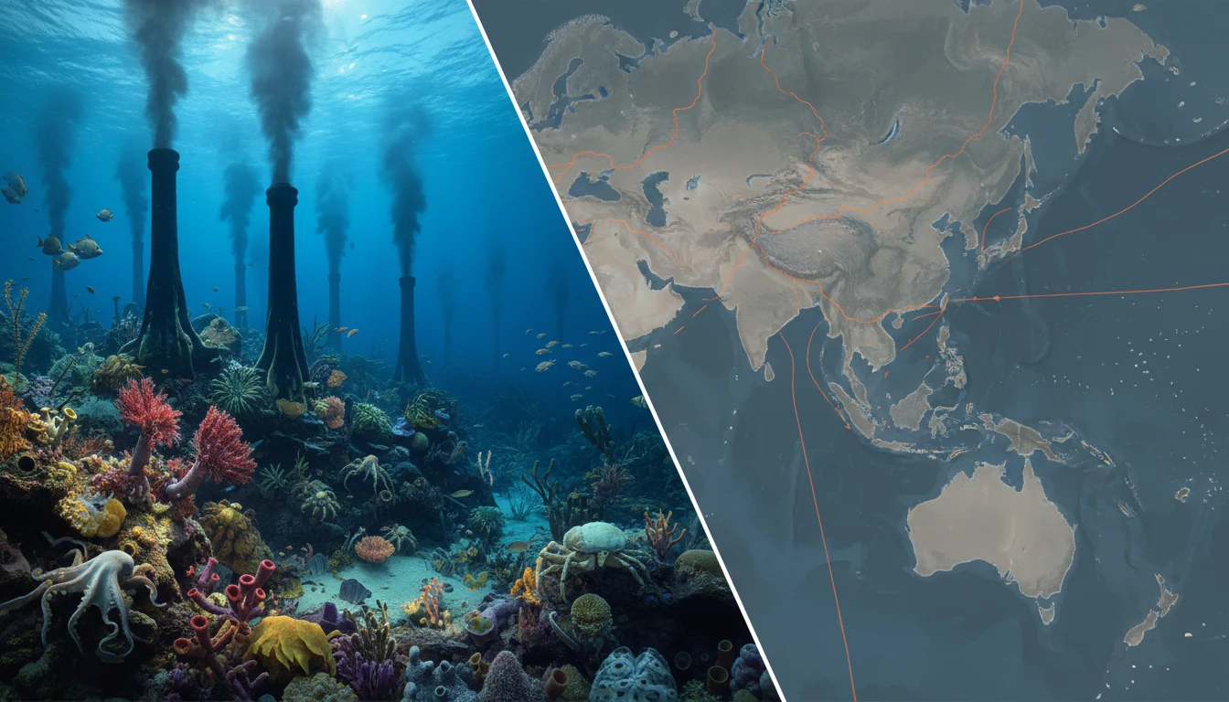
The Indian Ocean is a hotbed of tectonic activity, home to a complex system of mid-ocean ridges. The main players are the Central Indian Ridge (CIR), the Southeast Indian Ridge (SEIR), and the Southwest Indian Ridge (SWIR). These three massive underwater structures meet at a point known as the Rodrigues Triple Junction, east of Mauritius. The CIR separates the Indian and African plates, while the SEIR marks the boundary between the Australian and Antarctic plates. Spreading rates vary, but are generally considered intermediate, averaging a few centimetres per year—about the speed at which your fingernails grow.
A Plate Breaking in Two
One of the most fascinating geological stories unfolding in the region involves the vast Indo-Australian plate. For decades, it was considered a single plate. However, mounting evidence, including from major earthquakes in 2012, suggests it is actively breaking apart. The western part of the plate, containing the Indian subcontinent, is colliding with the Eurasian plate, a force that created the Himalayas. This collision slows down the Indian portion, while the Australian portion continues its northward movement more freely. This creates immense stress in the middle of the plate, in a diffuse zone under the central Indian Ocean, which is slowly forming a new plate boundary. This process is incredibly slow but is responsible for some of the largest intraplate earthquakes ever recorded.
Listening to the Deep
So how do scientists watch these incredibly slow, remote processes? They use a suite of sophisticated tools. Sonar mapping aboard research vessels creates detailed 3D maps of the ocean floor, revealing the topography of the ridges and fault lines. Magnetometers towed behind ships detect magnetic stripes on the seafloor. These stripes, which record reversals in Earth’s magnetic field over millions of years, form a symmetrical pattern on either side of a ridge, providing a clear record of spreading. Seismometers, both on land and on the ocean floor, record the thousands of small earthquakes associated with the pulling apart of the crust. Recently, advanced seafloor observatories equipped with acoustic and pressure sensors have allowed for even more direct monitoring.
Why This Undersea Action Matters
Understanding seafloor spreading in the Indian Ocean is not just an academic exercise. The movement of these tectonic plates is the primary driver of seismic activity in the region. The immense stress built up and released along plate boundaries and major faults can cause powerful earthquakes, which in turn can generate devastating tsunamis. For countries bordering the Indian Ocean, including India, monitoring this deep-sea activity is a critical part of hazard assessment and early warning systems. By studying the forces that shape our planet, scientists can better understand the risks and help protect coastal communities.