







The Data Behind the Deluge
When we talk about 'July rain data', it's not a single number. It's a complex stream of information from the India Meteorological Department (IMD) and a network of automatic rain gauges across the city. This includes real-time rainfall intensity (measured
in mm/hour), cumulative totals, and predictive alerts (like yellow, orange, and red). This year has been particularly intense, with the city receiving a massive amount of its seasonal rainfall in an exceptionally short period. This shift towards concentrated, heavy downpours instead of steady showers is a critical trend that underpins the growing challenges for the city. This data is the foundation upon which daily decisions and long-term plans are built.
The Commuter’s Daily Battle
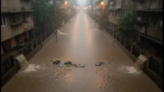
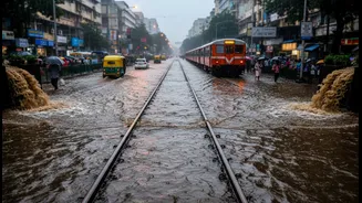
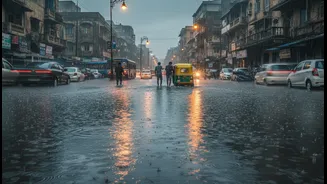
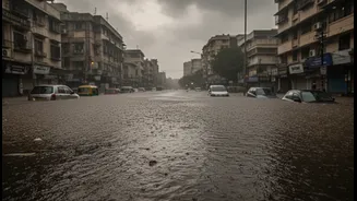
For Mumbai's commuters, rainfall data is a real-time survival guide. An IMD forecast of 'heavy to very heavy rainfall' is a direct warning of potential disruptions. The first casualty is often the suburban railway network, the city's lifeline. Heavy rains, especially in short, intense bursts, lead to waterlogging on tracks, particularly in notorious low-lying areas. This forces Western and Central Railways to delay, divert, or cancel services, leaving thousands of passengers stranded, as seen in recent disruptions affecting the Virar-Vasai-Nalasopara belt. Commuters are left scrambling for alternatives, facing surge pricing from app-based taxis and navigating gridlocked, flooded streets in areas like Andheri and Sion. The daily commute transforms from a routine into a strategic challenge, dictated entirely by the intensity and location of the downpour.
The Renter's Monsoon Dilemma
For renters, the monsoon is the ultimate property test, and rainfall data acts as an informal risk assessment tool. The season routinely exposes flaws that brochures and sunny-day visits hide, such as seepage, damp walls, and poor drainage, even in luxury apartments. Prospective tenants often use the monsoon to their advantage, inspecting properties during heavy showers to spot leakages and assess the neighbourhood's vulnerability to waterlogging. Historical data on flood-prone areas like Hindmata, Milan Subway, and parts of Dahisar directly impacts rental demand and prices. Properties in these areas can see a price reduction of 10-20% as tenants negotiate based on the known risks. The monsoon forces renters to prioritize resilience over aesthetics, making a dry, accessible home the most sought-after commodity.
The Urban Planner’s Long Game
While commuters and renters react to daily data, Mumbai's urban planners at the Brihanmumbai Municipal Corporation (BMC) use historical and predictive data to wage a long-term war against flooding. Decades of rainfall patterns inform massive infrastructure projects like the Brihanmumbai Storm Water Disposal System (BRIMSTOWAD), which aims to upgrade the city's archaic drainage network. Originally designed for 25mm of rain per hour, the system is being overhauled to handle more intense downpours, with officials now considering capacities of up to 120mm/hour in vulnerable spots. Planners combine rainfall data with elevation models and land-use maps to identify high-risk zones where impermeable surfaces, low elevation, and intense rain overlap. This data-driven approach is central to the Mumbai Climate Action Plan (MCAP), which guides strategies to make the city more resilient to the 'new normal' of climate change-driven extreme weather events.