


An Invisible Climate Accelerant
Methane is the second-largest contributor to global warming after carbon dioxide. While it stays in the atmosphere for a much shorter time—about a decade compared to centuries for CO2—its heat-trapping power is immense. Over a 20-year period, methane
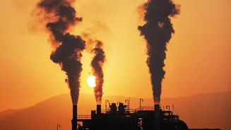
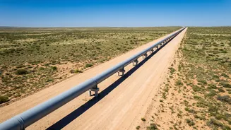
is more than 80 times more potent than carbon dioxide at warming the planet. This makes tackling methane emissions one of the fastest ways to slow the rate of climate change. A significant portion of these emissions comes from the energy sector, including leaks from pipelines, malfunctioning equipment, and intentional venting at oil and gas facilities. The problem has been that while massive leaks, or "super-emitters," could sometimes be detected, the smaller, more persistent leaks were largely invisible, creating a huge blind spot in climate data and accountability. These numerous, low-concentration releases add up to a massive environmental impact that has been difficult to quantify and attribute until now.
A New Generation of Eyes in the Sky
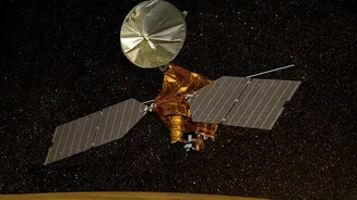
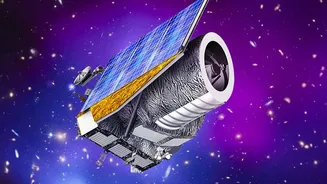
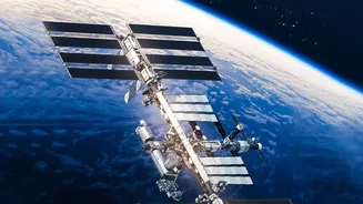
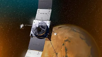
The game-changer is a technology called hyperspectral imaging, mounted on a growing constellation of satellites. Think of these orbiters as powerful prisms in space. As sunlight reflects off the Earth, these instruments break the light into hundreds of distinct spectral bands. Methane gas absorbs light in a unique pattern, creating a specific "spectral fingerprint" in the infrared spectrum. By analyzing this data, scientists can not only detect the presence of methane but also measure its concentration with incredible precision. Satellites from both public agencies like NASA and the European Space Agency (ESA) and private companies like GHGSat are now continuously scanning the globe. This technology is a leap beyond older satellites, which could only spot very large plumes or provide broad regional averages. The new hyperspectral sensors can pinpoint leaks down to specific pieces of industrial equipment from hundreds of kilometers above the Earth.
From Theory to Reality: What the Satellites Found
Recent findings show this technology is moving from potential to proven impact. Orbiters are now routinely detecting previously unidentified methane plumes from major energy infrastructure hubs, such as the Permian Basin in the United States and pipelines in Central Asia. A recent analysis of satellite data from January 2025 to June 2026 identified over 1,000 distinct methane plumes from oil and gas sources across just three major U.S. basins. Crucially, these satellites are not just finding the headline-grabbing super-emitters. Combined with artificial intelligence, instruments like NASA's EMIT can identify 50% more plumes than human analysts, including the smaller, low-concentration releases that form the bulk of the problem. This ability to see the full picture—from massive blowouts to chronic, low-level leaks—provides a far more accurate inventory of who is emitting what, and where.
A Data Revolution for Accountability
This flood of new, precise data is set to revolutionize climate accountability. For the first time, regulators, investors, and the public can get near-real-time information on methane emissions that is not self-reported by operators. It moves the conversation from estimates to direct observation. Organizations like the UN are already using this satellite data to alert governments and companies about detected leaks, urging them to make repairs. This creates significant pressure on companies to improve their operations. In an era of increasing environmental scrutiny, a poor record on methane management can damage a company's reputation and even affect its access to financing. With this technology, inaction is no longer an oversight; it's a choice that is visible from space.
What This Means for the Energy Industry
For the oil and gas industry, this new era of transparency presents both a challenge and an opportunity. The challenge is clear: increased scrutiny and the need to invest in better leak detection and repair (LDAR) programs to avoid public call-outs and potential regulatory penalties. However, it also offers a major opportunity. Methane is the primary component of natural gas, meaning that every leak is also a loss of saleable product. One study estimated that U.S. gas producers could increase revenues by nearly $200 million annually simply by capturing methane that would otherwise leak. By using this same satellite data, companies can more efficiently identify and fix leaks, improving safety, reducing product loss, and demonstrating a tangible commitment to reducing their environmental footprint. Some data already suggests that this increased visibility is prompting mitigation efforts at some of the highest-emitting sites.