



The Silent Crisis Beneath Our Feet
For decades, India has been the world's largest user of groundwater, a resource that is invisible but indispensable. It sustains over 60% of irrigated agriculture and meets more than 80% of the country's drinking water needs. This dependence has come
at a cost. In many parts of the country, particularly the northern agricultural belts, water is being extracted far faster than it can be naturally replenished. This over-extraction leads to a silent but dangerous phenomenon: land subsidence, where the ground level gradually sinks. Cities like Delhi and Ahmedabad, and entire states like Punjab, have recorded significant sinking linked directly to falling aquifer levels, threatening infrastructure and long-term water security.
An Unprecedented Eye in the Sky
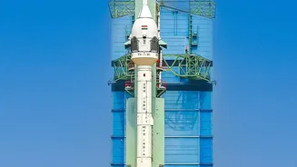
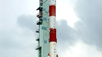
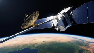
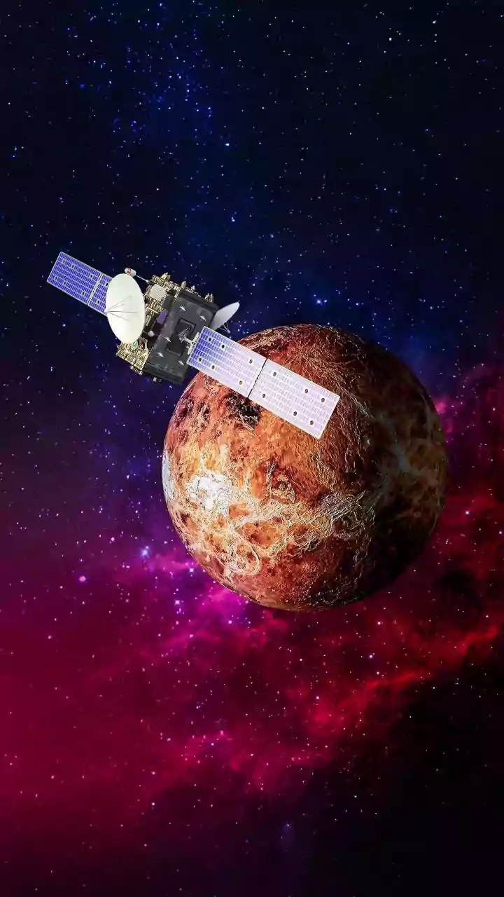
Enter the NASA-ISRO Synthetic Aperture Radar (NISAR) mission, a landmark collaboration between the two space agencies. Launched in July 2025, NISAR is the world's most expensive and advanced Earth-imaging satellite, designed to observe our planet's complex processes like never before. What makes NISAR a game-changer is its use of dual-frequency radar (L-band and S-band). This technology allows it to see through clouds, darkness, and even dense vegetation, providing an uninterrupted, all-weather view of the Earth's surface. Orbiting the globe every 12 days, it captures a continuous stream of high-resolution data, creating a dynamic map of our changing planet.
How NISAR 'Sees' Underground Water
While NISAR cannot see water directly, it employs a brilliant indirect method. Its advanced radar system measures tiny, centimetre-scale changes in the height of the Earth's surface. When vast amounts of groundwater are pumped out from underground aquifers, the land above settles and sinks, a process known as subsidence. By comparing images taken over weeks and months, NISAR can precisely map this subsidence across entire regions with a resolution of just a few metres. This data acts as a direct proxy for groundwater depletion. Where the land is sinking fastest, the water is being depleted most severely. This technique provides a comprehensive picture that was previously impossible to get from monitoring a limited number of wells on the ground.
From Raw Data to Water Security
The data beamed down by NISAR is not just for scientists; it provides actionable intelligence for India's water managers and policymakers. By February 2026, India's National Remote Sensing Centre (NRSC) was already producing high-resolution soil moisture maps from NISAR's data. This information is critical for transforming agriculture, enabling precision irrigation that helps farmers use water more efficiently. For the first time, authorities can get a clear, nationwide view of which aquifers are under stress, allowing for targeted interventions and better planning for sustainable use. The free and open availability of this data also empowers local agencies and researchers to develop innovative solutions for water conservation and drought management.
More Than Just Water
While its impact on water management is profound, NISAR's mission is far broader. The same ability to detect minute surface changes makes it an invaluable tool for disaster management. It can monitor the stability of Himalayan glaciers, identify land areas prone to landslides, and assess damage after earthquakes or floods. Furthermore, it tracks changes in forest cover and agricultural biomass, providing key insights into ecosystem health and the carbon cycle. This multi-purpose capability makes NISAR a comprehensive monitoring system for India's environment, helping to safeguard both lives and natural resources for generations to come.