





The Big Picture From Above
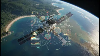
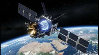
Hundreds of kilometres above Earth, a fleet of satellites operated by agencies like ISRO and NASA keeps a constant watch. These eyes in the sky provide a crucial, large-scale perspective on our changing planet. They measure things impossible to track
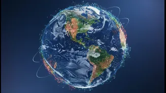
from the ground alone, like the retreat of Himalayan glaciers, subtle shifts in sea level along India's vast coastline, and changes in vegetation cover across entire states. Missions like INSAT track cloud movements and rainfall patterns, while others monitor atmospheric gases. This data, collected consistently over decades, gives scientists the hard evidence of long-term climate trends, allowing them to see how deforestation, urban heat islands, and melting ice are altering our world on a massive scale. It provides the 'what' and the 'where' of climate change, painting a global picture with incredible precision.
The Nuanced Wisdom From The Ground
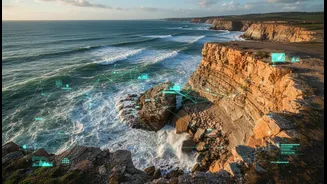
Long before satellites existed, communities developed their own sophisticated systems for understanding the environment. This is often called Traditional Ecological Knowledge (TEK), a rich body of wisdom passed down through generations. For farming communities in the Nilgiris or fishing villages in Kerala, this knowledge is a matter of survival. It’s the ability to predict weather by observing wind patterns, to know when soil is losing its vitality, or to understand the subtle changes in fish migration. Indigenous knowledge is not just a collection of facts; it’s a holistic understanding of the interconnectedness of ecosystems. While a satellite can detect that a forest is becoming less green, a local community can explain why: perhaps a specific spring has dried up, or an invasive species has taken hold. This ground-truth provides the vital 'why' that satellite data often cannot.
A Powerful Partnership
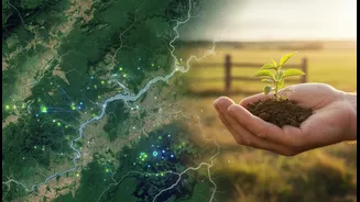
The real breakthrough happens when these two ways of knowing—the high-tech and the time-tested—are brought together. Scientists are increasingly realising that one is incomplete without the other. Satellite data can validate the changes that local communities have been observing for years, providing the scale and scientific backing to their claims. For instance, when Inuit hunters reported thinning sea ice, NASA satellites later confirmed the trend on a massive scale. In reverse, local knowledge gives context and granularity to the broad patterns seen from space. A satellite might detect a higher risk of landslides in a Himalayan region, but local villagers can pinpoint the specific slopes that are most unstable based on generations of observation. This combination creates a richer, more accurate, and more actionable understanding of climate risks. It turns abstract data into tangible reality, bridging the gap between global models and local lives.
Putting Integrated Knowledge Into Action
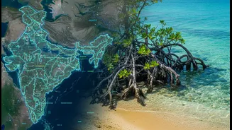
This hybrid approach is already moving from theory to practice across India and the world. In India, Integrated Coastal Zone Management (ICZM) projects in states like Odisha and Gujarat are beginning to blend scientific data with community-based information for better planning. ISRO’s National Information System for Climate and Environment Studies (NICES) aims to build a comprehensive information base for climate studies, which can be enhanced by local inputs. The joint NASA-ISRO satellite mission, NISAR, is designed to map Earth’s changing surface with unprecedented detail, providing data on everything from glacier flows to agricultural lands that will be invaluable when paired with local expertise. This data helps create better early warning systems for cyclones and floods, monitors the health of natural defences like mangrove forests, and supports more sustainable agricultural practices by providing both macro and micro insights.