
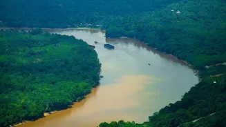
The Grand Waterways Vision
The government's vision, formalised under the National Waterways Act of 2016, identified 111 rivers and canals as potential arteries for commerce and travel. This massive undertaking aims to increase the modal share of inland water transport (IWT), decongesting
crowded roads and railways while reducing logistics costs and carbon emissions. The project is a cornerstone of broader initiatives like the Sagarmala Programme, which seeks to leverage India's extensive coastline and waterways for economic development. The goal is to move from the current share of around 2% of freight movement to 5% by 2030, a significant leap that requires massive investment in infrastructure.
From 111 on Paper to Dozens in Practice
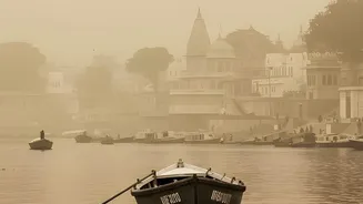
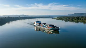
While the headline number is 111 waterways, the reality on the ground is more focused. As of early 2026, around 32 waterways were considered operational for cargo and passenger movement. The government plans to make more waterways operational in the coming years. The most significant and well-developed routes are National Waterway 1 (NW-1) on the Ganga-Bhagirathi-Hooghly river system, stretching 1,620 km from Prayagraj to Haldia, and National Waterway 2 (NW-2) on the Brahmaputra, covering 891 km from Dhubri to Sadiya. These two form the backbone of the current IWT network, alongside other crucial waterways in states like Kerala (NW-3), Goa, and Maharashtra. Cargo traffic has seen substantial growth, reaching an all-time high in recent years, with commodities like coal, fly ash, and iron ore leading the charge.
Where to Find Cargo Schedules
For businesses looking to leverage this network, the key challenge is finding timely and accurate information. The Inland Waterways Authority of India (IWAI), the nodal agency for the project, is the primary source. To bridge the information gap between vessel owners and cargo shippers, IWAI launched a dedicated digital portal named FOCAL (Forum of Cargo-Owners and Logistics-Operators). This platform is designed to allow users to register and post details about available cargo or vessel availability, enabling direct interaction. Another key digital tool is the CAR-D portal, which provides integrated data and analytical dashboards on cargo and cruise movement across the waterways. These portals, accessible through the main IWAI website, are the most authoritative sources for planning shipments.
The Passenger and Tourism Angle
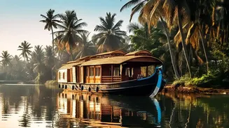
It's not just about bulk cargo. Inland waterways are also a burgeoning sector for tourism and daily passenger transit. River cruises and ferry services are operational on more than a dozen national waterways. Passenger traffic has seen a dramatic increase, particularly in states like Assam, West Bengal, Kerala, and Goa, where ferries are a part of daily life. The Kochi Water Metro is a prime example of a modern urban mobility system built around waterways. Information for these services is typically managed by state tourism departments or private operators running the cruises, and their websites are the best place for schedules and booking.
Understanding Schedule Reliability
The headline's mention of "reliable schedules" points to a critical challenge. Inland water transport is subject to variables that other modes of transport don't face. Seasonal variations in water levels, especially during dry seasons, can severely restrict navigation by reducing the Least Available Depth (LAD) required for vessels. Siltation is a constant issue, requiring regular dredging to keep channels clear. Furthermore, issues like a shortage of return cargo on certain routes, inadequate last-mile connectivity from terminals, and a need for greater private sector participation can impact the frequency and reliability of services. While major strides have been made in developing terminals and navigation aids, users should factor in these potential variabilities when making logistical plans.