








Which Areas Are on High Alert?
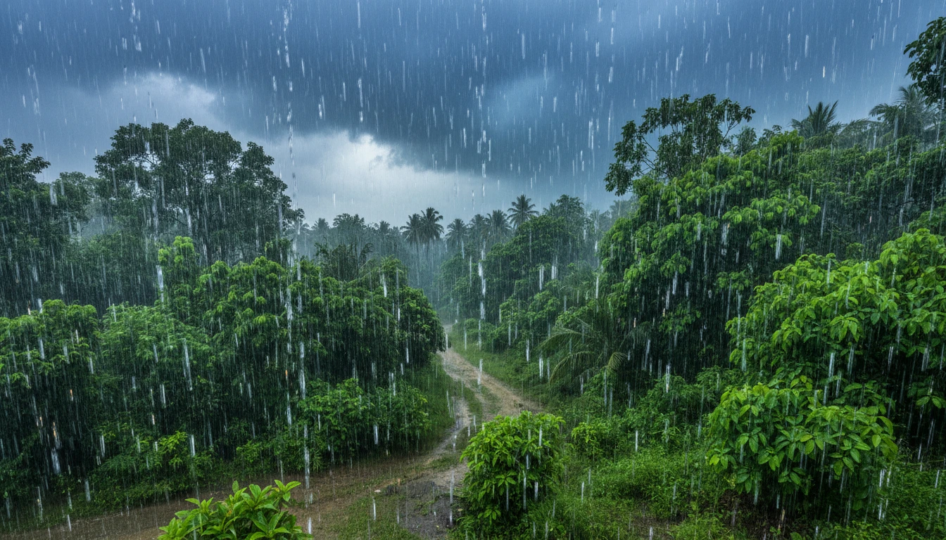
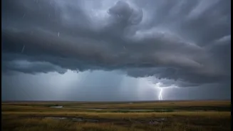
The IMD has forecast an active spell of the southwest monsoon, bringing widespread rain to much of North India through the weekend. Heavy to very heavy rainfall is expected in the hill states of Uttarakhand and Himachal Pradesh between July 11 and July 16.
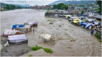
This prolonged wet spell significantly increases the risk of landslides, flash floods, and road blockages in vulnerable areas. For the northern plains, isolated heavy rainfall is predicted for Punjab, Haryana, Chandigarh, and Delhi from July 11 to July 13. Parts of Uttar Pradesh are also expected to receive widespread showers, with heavy rain likely in East Uttar Pradesh from July 12. Jammu and Kashmir will also see fairly widespread rainfall over the weekend of July 11-12.
Risks for Weekend Travellers
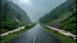
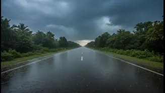
The timing of this weather event, just before and during the weekend, poses a significant challenge for travellers. The primary concern in the mountainous regions of Himachal Pradesh and Uttarakhand is the heightened risk of landslides and flash floods. Heavy downpours have already triggered landslides, blocking numerous roads, including national highways. In Himachal Pradesh, a bridge collapse was reported in Sangla, and a landslide occurred in Shimla. In Uttarakhand, around 120 roads were blocked due to landslides triggered by the rain. Authorities have specifically advised pilgrims on the Char Dham Yatra routes to exercise extreme caution and check road conditions before travelling. In the plains, the main issues will be waterlogging in low-lying urban areas and major traffic disruptions, especially in cities like Delhi, Chandigarh, and across Haryana.
Official Advisories and Safety Measures
In response to the forecast, state authorities have been put on high alert. The State Emergency Operations Centre in Uttarakhand has directed all district administrations to be prepared for weather-related incidents. The IMD has strongly advised the public to stay updated with the latest weather forecasts and follow advisories issued by local authorities. For those planning to travel, especially to the hill states, it is recommended to reconsider or postpone plans if possible. If travel is unavoidable, check for road closures, avoid flood-prone areas, and do not drive at night on hilly roads. For residents in the affected regions, it is important to take precautions against waterlogging and potential damage to vulnerable structures. Avoid walking or driving through waterlogged streets due to the risk of open manholes and electrocution from submerged electrical lines. Ensure your home's drainage is clear and be prepared for potential power cuts.
Understanding the Weather System
This intense spell of rain is being driven by multiple active weather systems. The monsoon trough is in its normal position, and its interaction with a western disturbance is enhancing rainfall over Northwest India. Additionally, several upper-air cyclonic circulations are contributing to the moisture influx over the region, making the monsoon vigorous. While the monsoon covering the country is a normal annual occurrence, the current confluence of systems has led to predictions of particularly intense, isolated spells. This is not just a simple monsoon shower; it is a period of heightened weather activity that requires increased vigilance from both the public and administrative bodies to prevent loss of life and property.