





A New Eye in the Sky
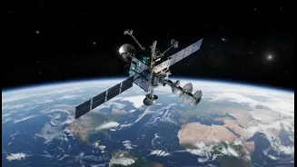
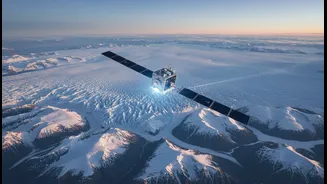
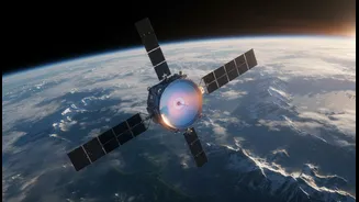
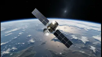
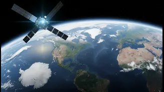
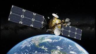
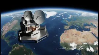
The satellite is called NISAR, which stands for NASA-ISRO Synthetic Aperture Radar. It is one of the most ambitious and expensive Earth-observation missions ever undertaken, representing a powerful partnership between the US and Indian space agencies.
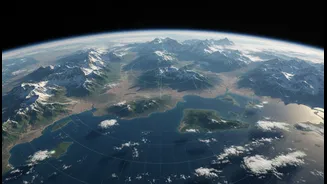
Launched from the Satish Dhawan Space Centre, NISAR's purpose is to systematically map our planet, observing the land, ice sheets, and ecosystems. Unlike a standard camera, NISAR isn't just taking pictures; it's creating an incredibly detailed, dynamic map of Earth's surface, tracking subtle changes with remarkable precision. The mission makes all its data freely and openly available, empowering scientists, governments, and organisations around the globe.
How It Sees Through Clouds and Darkness
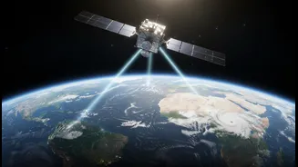
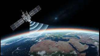
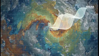
NISAR’s magic lies in its advanced radar technology. It is the first satellite to use two different radar frequencies, known as L-band and S-band. Think of it less like a camera that needs light and more like a bat that uses sound waves to see. By sending out microwave signals and reading the echoes that bounce back, NISAR can create detailed images day or night, regardless of weather or cloud cover. This capability is a game-changer. The L-band radar, provided by NASA, can penetrate through forest canopies to see the ground below, while the ISRO-built S-band radar is particularly good at monitoring things like soil moisture and agricultural changes. Together, they provide a comprehensive view that no single instrument could achieve.
Tracking Earth’s Pulse with Unprecedented Detail
The level of detail NISAR provides is astounding. It can detect changes in the Earth's surface as small as a centimetre. The satellite will orbit the Earth every 100 minutes, mapping the entire globe every 12 days. This repeat-pass capability allows scientists to build a time-lapse view of the planet in motion. This includes monitoring the flow of glaciers and ice sheets which are crucial for understanding sea-level rise, spotting the warning signs of volcanic eruptions or landslides, and tracking the slow sinking of land in urban areas due to groundwater extraction. For the first time, we will have a consistent, high-resolution dataset to understand the planet's most complex and sometimes hazardous processes.
Why This Mission Matters for India
For India, NISAR is more than just a scientific mission; it is a vital piece of national infrastructure. The data it provides will be invaluable for managing the country's vast natural resources and preparing for disasters. The satellite's ability to monitor the Himalayan glaciers is critical for forecasting water availability for the millions who depend on glacier-fed rivers. In agriculture, NISAR will track soil moisture and crop health, providing crucial information for improving yields and managing water for irrigation. Furthermore, its data will enhance early warning systems for landslides, floods, and earthquakes, helping to protect lives and property across the subcontinent.
A Global Resource for a Changing Planet
While the benefits for India are direct and substantial, NISAR is fundamentally a global mission. The data collected will be used to track deforestation, measure the amount of carbon stored in the world's forests, and understand the dynamics of wetlands. This information is essential for international efforts to combat climate change and protect biodiversity. By making its data open to all, the NISAR mission democratises access to critical environmental information, allowing researchers and policymakers everywhere to better understand and protect our shared planet. It sets a new standard for international collaboration in space, showing how shared science can address global challenges.