





The Planetary Data Challenge
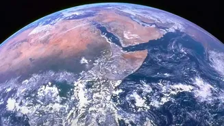
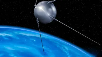
For decades, NASA has been our eyes in the sky, using a fleet of satellites to observe Earth's oceans, atmosphere, and land. This has resulted in one of the world's largest archives of environmental data, containing billions of records. The sheer volume,
variety, and velocity of this data present a monumental challenge. Scientists faced the daunting task of sifting through petabytes of information to find meaningful patterns, a process that could take years. With the amount of data collected expected to grow exponentially, traditional methods of analysis are no longer sufficient to keep pace with a rapidly changing planet. This data bottleneck threatened to slow down crucial discoveries about climate change and environmental hazards.
AI Models That Learn the Earth
Artificial intelligence, specifically machine learning, is changing the game. By training AI models on vast datasets, NASA can now automate the process of identifying complex patterns that would be nearly impossible for humans to spot. This allows scientists to move from just collecting data to interpreting it at an unprecedented speed. For example, AI algorithms can scan satellite imagery to detect the subtle signs of a burgeoning wildfire, map the extent of floodwaters in near real-time, or even count trees in remote regions to better understand deforestation. This partnership between human expertise and machine efficiency is accelerating the pace of Earth science.
The Dawn of Foundation Models
A recent breakthrough is the development of AI "foundation models." These are massive, versatile models trained on broad, unlabeled data that can be adapted for numerous specific tasks. Recognizing their potential, NASA collaborated with IBM to create a family of open-source foundation models specifically for Earth science. One such model, named 'Prithvi' (Sanskrit for Earth), was trained on decades of NASA's satellite imagery. It can be fine-tuned to monitor everything from crop health and land use changes to the aftermath of natural disasters like fires and floods. By making these powerful tools open-source, NASA and IBM are empowering a global community of researchers to tackle environmental challenges.
From Prediction to Action
The ultimate goal is to translate this data into actionable insights that can protect lives and infrastructure. The Prithvi-weather-climate model, another collaboration between NASA and IBM, uses 40 years of climate data to improve weather forecasting and climate projections. This could lead to better predictions of severe storms, urban heatwaves, and even the behavior of wildfires. The aim is to provide decision-makers with the tools they need to prepare for, mitigate, and respond to the impacts of climate change more effectively, said Karen St. Germain, director of NASA's Earth Science Division. It's about turning scientific knowledge into a direct benefit for humanity.
A Smarter Future for Earth Observation
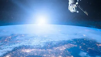
The integration of AI doesn't stop at data analysis on the ground. NASA is also experimenting with onboard AI to make satellites themselves smarter. A recent test showed an AI-powered satellite could analyze images and decide on its own where to point its instruments for the most valuable observations, all without human intervention. Looking ahead, NASA plans to develop foundation models for other scientific domains, including heliophysics with a model named 'Surya' to study the Sun, as well as planetary science and astrophysics. This strategic embrace of AI is designed to ensure that as our ability to observe the Earth and the cosmos grows, so too does our capacity to understand it.