




The Scene From Space: Before and After
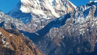
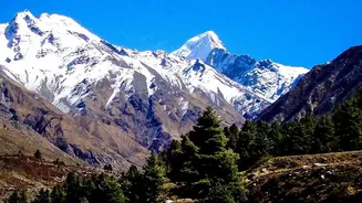
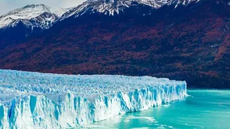
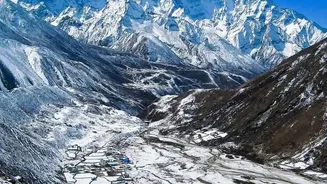
Before-and-after satellite images released by agencies like India's National Remote Sensing Centre (NRSC) and Planet Labs paint a dramatic picture. Imagery from just days before the disaster shows a typical Himalayan landscape: high-altitude glaciers,
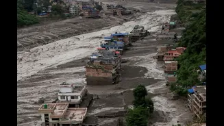
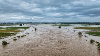
snow-covered peaks, and green, steep-sided river valleys. Post-disaster images, captured on August 26, reveal a shocking transformation. A massive scar is visible high on a mountain, where a huge portion of a glacier used to be. Downstream, the once-green valleys are smothered under a wide blanket of brown and grey debris. The river itself, the Bhote Koshi, is visibly swollen, its banks pushed far beyond their normal channels by the deluge.
Anatomy of a Collapse
Experts analysing the satellite data have concluded that the disaster was not a typical flood from heavy rain. Instead, it was an ice-rock avalanche. A huge section of a glacier, estimated to be nearly two-thirds of its body and about 2,000 feet wide, broke off from an altitude of around 17,000 feet. It then plunged over a kilometre down into the valley below. The immense energy of this fall pulverised the ice, instantly transforming it into a turbulent, fast-moving slurry of water, rock, and sediment. This catastrophic debris flow then surged into the Lhende Khola and Trishuli river systems, creating the flash flood that moved with terrifying speed. Water levels in the Trishuli reportedly rose by as much as nine metres in just 30 minutes.
Debunking the Earthquake Theory
In the initial confusion, some officials pointed to a small earthquake as a possible trigger for the event. Seismometers in the region did indeed register a seismic event, initially reported as a magnitude 4.4 earthquake, around the time of the collapse. However, the US Geological Survey (USGS) later revised its analysis. After studying the long-period seismic waves, it concluded that the seismic energy was not generated by a tectonic earthquake but by the massive landslide itself. In essence, the glacier collapse was so powerful that it registered as an earthquake, but it was the cause of the ground-shaking, not the result of it.
The Human Cost on the Ground
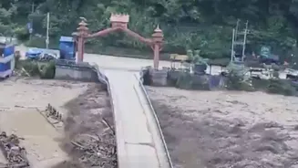
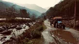
What the satellites show as a scar on a mountain translated into utter devastation for communities downstream. The torrent of water and debris swept away houses, bridges, roads, and hydropower projects in Nepal's Rasuwa and Nuwakot districts. The disaster struck near the busy Nepal-China border crossing, catching residents, workers, and travellers by surprise. Rescue efforts have been severely hampered by the very destruction the flood caused, with roads buried under mud and the terrain left dangerously unstable. Concerns have also been raised downstream in India, where authorities in Bihar and Uttar Pradesh were put on alert for a potential flood surge entering the Gandak river system.
A Warning for the Warming Himalayas
While scientists are still studying the precise reasons for this specific glacier's failure, the event serves as a stark reminder of the growing dangers in a warming Himalayas. Glaciers across the region are losing ice at an accelerating rate, with the pace doubling since the year 2000. This melting contributes to the instability of mountain slopes and the formation of potentially dangerous glacial lakes. This is not the first such event in the area; a flood in the same region in 2025 was linked to a glacial lake outburst. These events, sometimes called 'inland tsunamis', are becoming more frequent and ferocious, posing a major threat to millions of people who live in the shadow of these great mountains.