







A Constellation for Cooperation
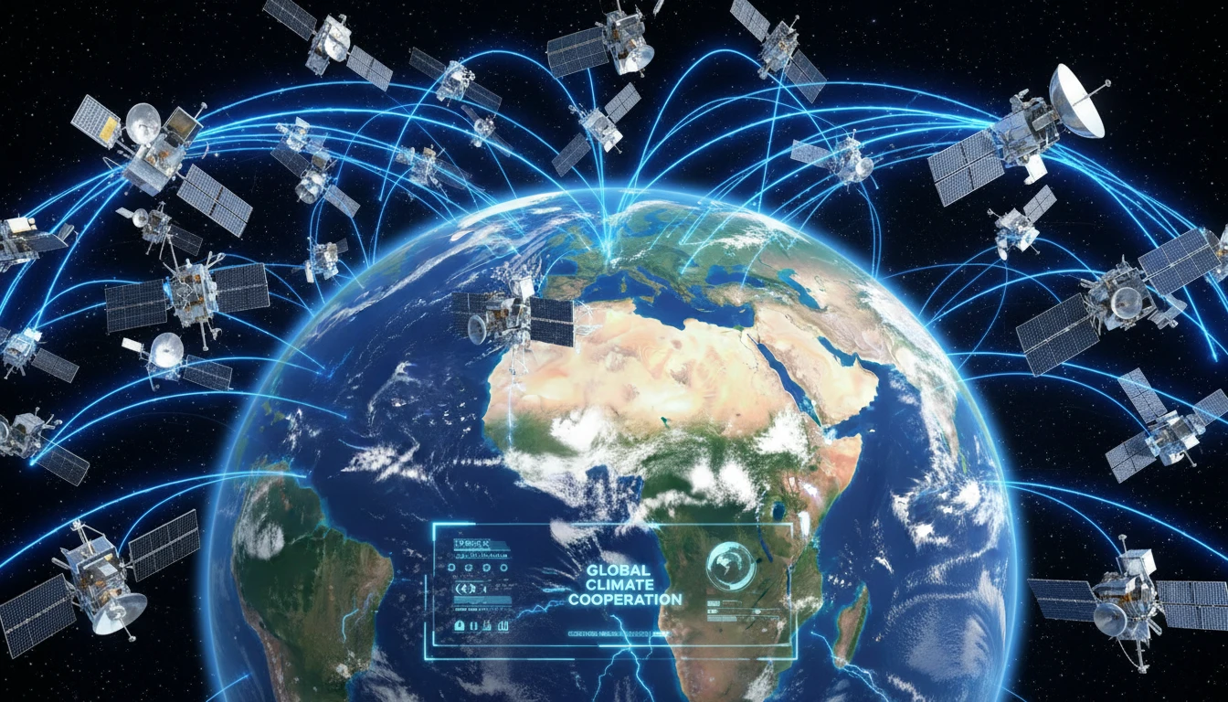
The BRICS bloc, now comprising Brazil, Russia, India, China, South Africa, and newer members like Egypt, Ethiopia, and Iran, is building a 'virtual constellation' of remote-sensing satellites. This isn't about launching a whole new fleet of hardware all
at once. Instead, it's a clever data-sharing mechanism that pools resources from existing satellites operated by member nations. The agreement, formally established through the BRICS Joint Committee on Space Cooperation, allows these countries to access a wider range of satellite imagery and data than any single nation could alone. The initiative originally involved six satellites from the founding members, including India's Resourcesat-2 and 2A, China's Gaofen-6, and Russia's Kanopus-V. Recent meetings have focused on expanding this agreement to include the bloc's new members, significantly enhancing its observational power.
Eyes in the Sky, Boots on the Ground
So, how does a satellite in orbit help with a flood on the ground? Remote sensing satellites are equipped with powerful cameras and sensors that can monitor Earth from space. They can track changes in land use, measure the health of forests, detect water levels in rivers and reservoirs, and monitor atmospheric conditions. By sharing data, BRICS nations get more frequent and comprehensive coverage. For example, if one country's satellite isn't in the right position to monitor a rapidly developing cyclone, another member's satellite might be. This shared data stream is crucial for providing timely early warnings for natural disasters like floods, droughts, and forest fires, allowing for better preparation and response. The goal is to turn this space-based data into actionable intelligence for disaster management teams, farmers, and policymakers.
Shared Risks, Shared Data
The diverse geography of the BRICS countries means they face a wide spectrum of climate risks, making this collaboration particularly valuable. Brazil and India are concerned with deforestation, monsoon patterns, and agricultural stress. China faces similar challenges with flooding and environmental monitoring. South Africa grapples with water scarcity and drought, while Russia monitors its vast forests for wildfires. A shared data pool helps create a more holistic picture of regional and global climate patterns. For instance, data from Indian satellites monitoring Himalayan glaciers could provide crucial information for downstream countries, while Brazilian data on the Amazon rainforest is vital for global climate models. This cooperation enables a united front against challenges that don't respect national borders.
India's Pivotal Role
For India, this initiative is a significant strategic move. With a robust space program led by ISRO, India is a key contributor to the satellite constellation. The enhanced data will directly benefit the country's efforts in disaster management, particularly in forecasting cyclones and managing floods. It will also provide critical insights for the agricultural sector, which is heavily dependent on monsoon patterns. Beyond the practical benefits, the cooperation strengthens India's leadership role within the Global South. By promoting collaborative innovation and technology sharing, India is helping to build strategic autonomy away from traditional Western-led space initiatives. Recent meetings hosted by ISRO in Bengaluru have advanced discussions on forming a BRICS Space Council to institutionalize this long-term cooperation.
More Than Just Satellites
While the immediate goal is climate resilience, the BRICS space cooperation has broader geopolitical significance. It represents a major step in South-South cooperation, demonstrating that emerging economies can collaborate on high-tech projects to solve shared problems. The initiative is also a form of strategic balancing, creating an alternative platform for space data and governance outside of frameworks dominated by the United States and Europe. However, challenges remain. Integrating data from different satellite systems requires significant technical harmonisation, and establishing clear protocols for data sharing among a diverse group of nations can be complex. Despite these hurdles, the commitment to the project underscores a shared belief that space technology is essential for building a sustainable and resilient future.