



Demystifying the Technology
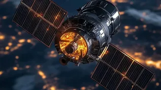
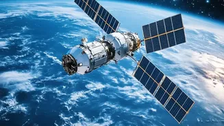
Remote sensing is the science of obtaining information about Earth from a distance, typically from satellites or aircraft. Think of it as taking our planet's pulse from space. While traditional satellites using optical sensors work like a camera and are
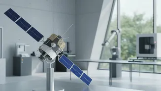
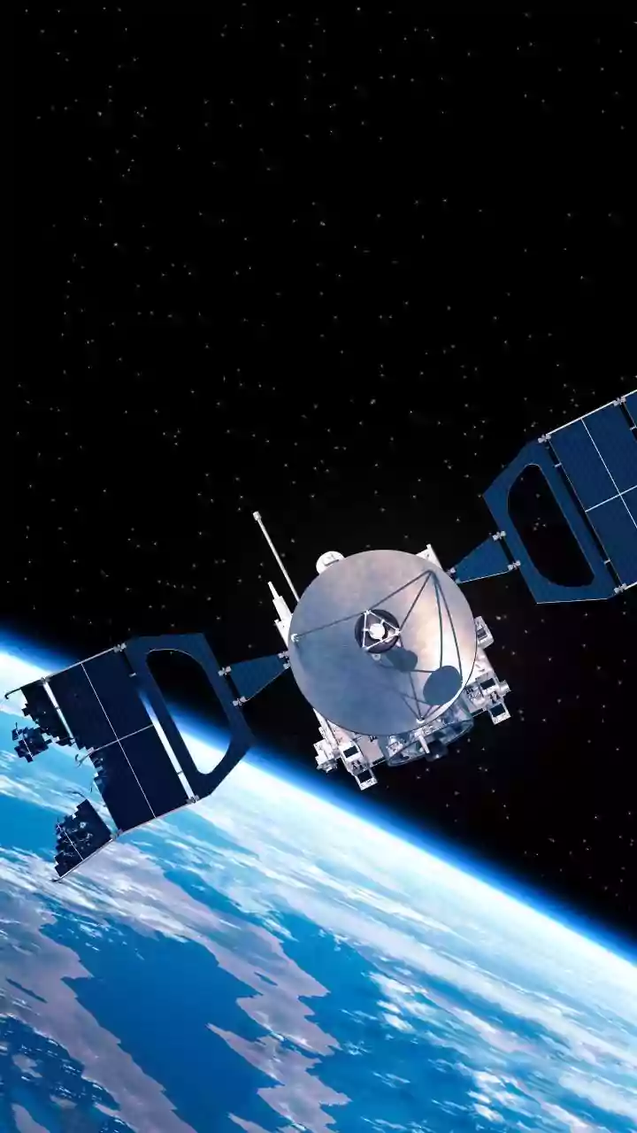
limited by clouds and darkness, Synthetic Aperture Radar (SAR) is a game-changer. SAR is an active sensing system, meaning it sends its own microwave pulses towards the surface and records the returning signal. This allows it to “see” through clouds, smoke, and darkness, providing reliable imagery 24/7, regardless of the weather. It's like a bat using echolocation to navigate, but for mapping the Earth with incredible precision.
Why These Skills Matter in India Now
The Indian space sector, once driven solely by ISRO, is now a hotbed of private innovation. Since the government opened up the sector to private companies in 2020, the number of space startups has surged, reaching nearly 400 by 2026. This liberalisation, coupled with new policies like increased Foreign Direct Investment (FDI) and the creation of the Indian National Space Promotion and Authorisation Centre (IN-SPACe), is fueling unprecedented growth. The Indian space economy, valued at USD 9 billion, is projected to hit USD 40-45 billion within the next decade. This expansion is creating a massive demand for professionals who can work with the vast amounts of data these new space assets generate. SAR data is at the heart of this revolution.
Real-World Applications Driving Jobs
The demand for SAR and remote sensing skills is directly tied to their critical applications across various sectors in India. In agriculture, these technologies are used for crop monitoring, yield forecasting, and assessing soil moisture, forming the backbone of programs like FASAL. In disaster management, SAR is indispensable for mapping floods, assessing landslide risks, and monitoring cyclones, thanks to its all-weather capabilities. It is also vital for urban planning, infrastructure monitoring, and national security, providing detailed intelligence for both civil and military use. Startups like GalaxEye are even pioneering new technologies by combining optical and SAR sensors on a single satellite, further enhancing these capabilities.
The Core Skills Students Should Build
A career in this field goes beyond just understanding the theory. Students need a blend of technical and analytical skills. Proficiency in Geographic Information Systems (GIS) software like QGIS and ArcGIS is fundamental. Strong data analysis skills, including experience with programming languages like Python or R, are essential for processing and interpreting large satellite datasets. As the field increasingly merges with artificial intelligence, skills in machine learning and deep learning for image classification and analysis are becoming highly sought after. Furthermore, domain-specific knowledge in areas like agriculture, geology, or urban planning can provide a significant competitive edge, allowing you to apply the data to solve real-world problems.
Your Path to a Career in Space-Tech
Several pathways exist for students aspiring to enter this field. A bachelor's or master's degree in Geoinformatics, Remote Sensing, Earth Sciences, or even computer science can provide a strong foundation. Institutions like the Indian Institute of Remote Sensing (IIRS), the Indian Institute of Space Science and Technology (IIST), and various IITs offer specialized M.Tech programs. Career opportunities are diverse. Graduates can find roles as GIS analysts, remote sensing engineers, geospatial data scientists, and more. Major recruiters include government bodies like ISRO and its various centers, but a growing number of jobs are now with private companies. Indian startups such as Pixxel, SatSure, and GalaxEye are actively hiring for roles in data analysis, software development, and solutions engineering, particularly in tech hubs like Bengaluru.