



What Exactly Is Radar Remote Sensing?
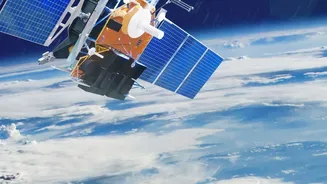
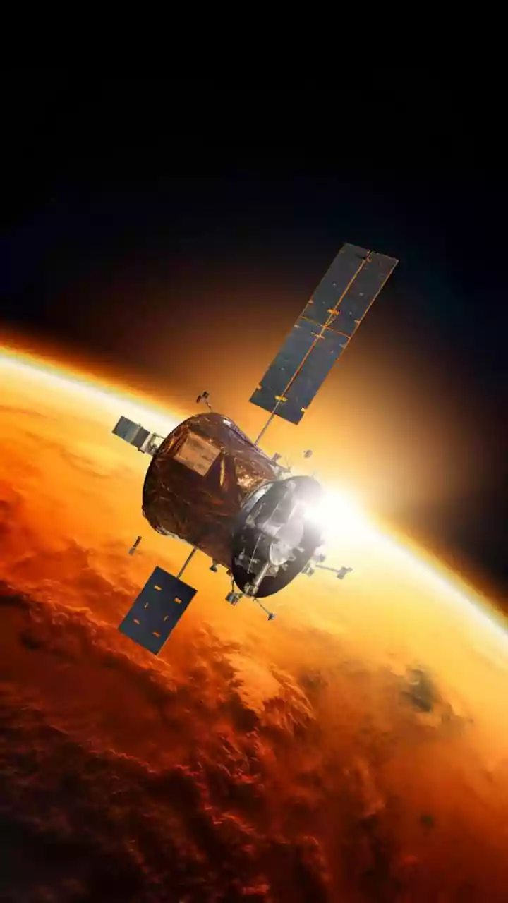
Unlike a standard camera that passively captures reflected sunlight, Synthetic Aperture Radar (SAR) is an active system. It works by sending out its own pulses of microwave energy from a satellite or aircraft and then recording the 'echoes' that bounce
back from the Earth's surface. Each surface — whether it's water, forest, soil, or a building — reflects this energy differently. By analyzing the strength and timing of these returning signals, scientists can create incredibly detailed two-dimensional or even three-dimensional images. The 'synthetic aperture' part is a clever engineering feat: the motion of the satellite is used to simulate a much larger antenna than could physically fit on a spacecraft, which dramatically increases the image resolution.
Seeing Through Clouds and Night
The single biggest advantage of SAR is its ability to work anytime, in any weather. Since it provides its own illumination with radar pulses, it doesn't need daylight to function. More importantly, these microwave signals can penetrate clouds, smoke, fog, and haze, conditions that render traditional optical satellites completely blind. This makes SAR an indispensable tool for a country like India, where monsoon clouds can obscure vast regions for months. While an optical image is like a photograph, a SAR image provides data on surface texture, moisture content, and structure, offering a fundamentally different and often more insightful view of the landscape.
A Crucial Tool for Disaster Management
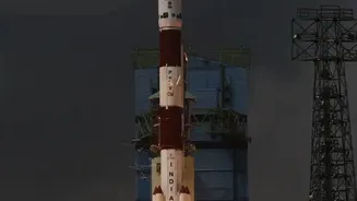
During natural disasters, SAR's all-weather capability is not just an advantage; it's a lifesaver. When floods strike, SAR can peer through the storm clouds to map the precise extent of inundation, showing which villages, roads, and farmlands are underwater in near real-time. This allows rescue teams to direct resources effectively instead of waiting for the weather to clear. Similarly, after an earthquake, SAR techniques can detect ground deformation and changes to infrastructure with millimetre-level precision, helping to assess damage even before response teams can safely enter an area. India's own RISAT series of satellites are designed specifically for these kinds of applications.
Beyond Emergencies: Farming, Forestry, and Cities
The applications of SAR extend far beyond crisis response. In agriculture, SAR data helps monitor crop health, estimate yield, and assess soil moisture levels, empowering farmers with information to optimize irrigation and improve food security. Its ability to penetrate vegetation can help in accurately mapping forest cover, tracking deforestation, and estimating biomass. Urban planners use a technique called InSAR (Interferometric SAR) to monitor the structural health of buildings, bridges, and dams by detecting tiny signs of subsidence or deformation over time. It can even be used in archaeology to uncover ancient ruins hidden beneath dense forests or desert sands.
Guarding the Nation's Interests
SAR technology is also a critical asset for national security and defence. Its day-night, all-weather surveillance capability is invaluable for monitoring borders and maritime territories. Satellites equipped with SAR can detect and track vessels at sea, including 'dark vessels' that may have turned off their transponders to engage in illegal activities like smuggling or unauthorized fishing. This constant vigilance helps secure India's vast coastline and strategic interests. The RISAT programme was, in fact, expedited to enhance India's surveillance capabilities after the 2008 Mumbai attacks highlighted the need for persistent monitoring regardless of weather conditions.
Why ISRO Is Training a New Generation
Recognizing the immense potential of this technology, ISRO, through its Indian Institute of Remote Sensing (IIRS), regularly conducts courses on SAR data processing and applications. These training programmes are designed for students, researchers, government officials, and professionals to build a skilled workforce capable of harnessing the vast amounts of data generated by satellites like RISAT and the joint NASA-ISRO mission, NISAR. By empowering more experts to analyze this complex data, ISRO is ensuring that the benefits of SAR technology reach every corner of the nation, from improving agricultural practices to strengthening disaster resilience.