


Monitoring Earth’s Health from Above
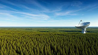
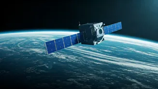
At the heart of India’s green-space initiative is one of the world's largest constellations of Earth Observation (EO) satellites. For decades, the Indian Space Research Organisation (ISRO) has been launching sentinels into orbit, designed not to look
out at the cosmos, but to look back at us. Satellites in the Resourcesat, Cartosat, and Oceansat series act as our planet's diligent health monitors. They provide invaluable data on forest cover, helping authorities track deforestation and plan afforestation drives with precision. They map our water bodies, monitoring the health of rivers, the depletion of groundwater, and the state of our glaciers. This continuous, large-scale monitoring provides the hard data needed for effective environmental policy, turning abstract concerns about climate change into actionable insights. By tracking changes in land use, coastal erosion, and urban sprawl, these satellites give us a report card on our environmental performance, highlighting where we need to improve.
Greener Fields and Smarter Farms
Space technology is quietly revolutionising one of India's oldest sectors: agriculture. The environmental footprint of farming—water usage, fertilizer runoff, and land management—is significant. Indian satellites are helping to reduce this impact through precision agriculture. By analysing satellite imagery, experts can assess soil moisture levels, crop health, and nutrient deficiencies across vast farmlands. This information allows farmers to apply water and fertilizers exactly where they are needed, rather than using a blanket approach. This not only saves precious resources and reduces chemical runoff into rivers but also boosts crop yields. Government schemes like the Pradhan Mantri Fasal Bima Yojana use this satellite data for more accurate crop insurance assessments, providing a safety net for farmers affected by weather anomalies. In essence, space tech helps grow more food with less environmental cost, a critical goal for a sustainable future.
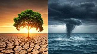
Forecasting and Fighting Disasters
A crucial aspect of a greener, safer planet is our ability to predict and respond to natural disasters, which are becoming more frequent and intense due to climate change. Here, India's space assets are frontline defenders. Weather-monitoring satellites like the INSAT series (INSAT-3D, 3DR) are indispensable for tracking the formation and path of cyclones, providing authorities with the crucial lead time needed to evacuate coastal populations and save lives. After a disaster strikes, whether it’s a flood, landslide, or earthquake, EO satellites provide rapid damage assessment maps. These maps show which areas are worst-hit, which roads are cut off, and where relief efforts are most needed. Furthermore, specialized sensors can detect forest fires, often before they are visible on the ground, enabling faster response times to protect our vital green cover and biodiversity. This proactive capability is a cornerstone of climate adaptation.
The New Frontier of Private Innovation
For years, ISRO was the sole driver of India’s space journey. Today, a vibrant ecosystem of private startups is adding new energy and capabilities. Companies like Pixxel are developing constellations of hyperspectral imaging satellites. Unlike a standard camera, these satellites can see the world in hundreds of colours, allowing them to detect specific chemical signatures. This technology has profound environmental applications: it can identify methane leaks from pipelines, detect different types of crop diseases, monitor water pollution with incredible detail, and even track the health of individual forest patches. Other startups are working on more efficient rocket propulsion and satellite manufacturing, aiming to make access to space itself more sustainable. This synergy between ISRO's foundational infrastructure and the agile innovation of private players is creating a powerful, multi-layered toolkit for environmental stewardship.