




A Bird's-Eye View When Seconds Count
In the chaotic aftermath of a flood, cyclone, or landslide, the biggest challenge for response teams is understanding the scale of the devastation. Roads may be impassable, communication lines down, and entire areas cut off. Traditional ground surveys
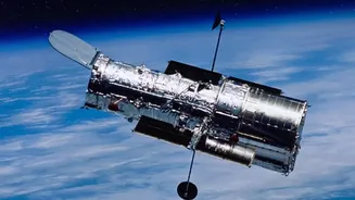
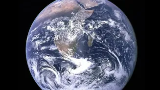
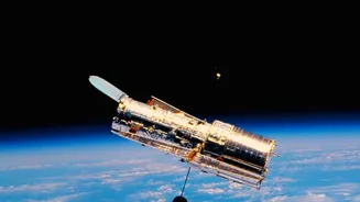
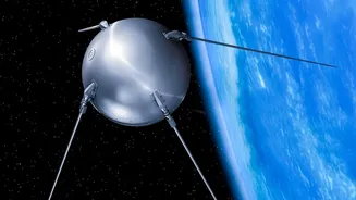
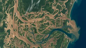
are slow, dangerous, and sometimes impossible. Satellites solve this fundamental problem by providing a comprehensive overview from space, operating uninterrupted even when terrestrial infrastructure has been destroyed. This ability to see the complete picture allows authorities to move from scattered reports to a clear, high-resolution map of the situation on the ground, drastically reducing the time between the disaster's impact and an effective emergency response. Agencies like the Indian Space Research Organisation (ISRO) and the National Disaster Management Authority (NDMA) rely on this data to coordinate efforts.
Seeing Through Clouds and Darkness
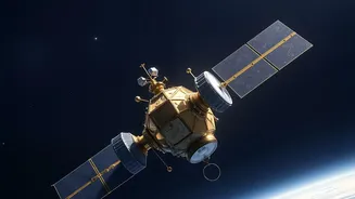
Not all satellite images are the same. While optical satellites capture images similar to what our eyes see, they are limited by daylight and clear skies. This is a major drawback, as many disasters, like cyclones and floods, are accompanied by heavy cloud cover. This is where Synthetic Aperture Radar (SAR) technology becomes a game-changer. SAR satellites send microwave pulses to the Earth's surface and read the reflected signals. This allows them to “see” through clouds, smoke, and even at night, providing invaluable data regardless of weather conditions. For flood mapping, SAR is particularly effective because calm water surfaces reflect the radar signal away from the satellite, making flooded areas appear as dark patches on the resulting image. India utilizes satellites like the RISAT (Radar Imaging Satellite) series specifically for this all-weather surveillance capability during cyclones and floods.
How AI Turns Pictures into Actionable Plans
Capturing images is only half the battle. The real speed comes from analyzing them. Manually comparing pre- and post-disaster satellite photos is a time-consuming process. This is where Artificial Intelligence (AI) and machine learning algorithms are revolutionizing disaster management. These systems can automatically scan vast amounts of imagery in minutes, a task that would take humans days. By using a technique called change detection, the AI compares a recent image with an archived one from before the disaster. It can instantly identify new flooded zones, collapsed buildings, damaged roads, and other critical infrastructure changes. Research shows that AI algorithms can achieve high accuracy rates in identifying damage, allowing aid organizations to quickly understand the impact and prioritize where help is needed most. ISRO makes this data accessible through portals like Bhuvan to help administrators make faster, more informed decisions.
Real-World Impact on Indian Disasters
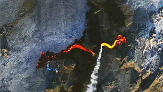
India's diverse geography makes it prone to a wide range of natural calamities, from floods in Assam and Kerala to cyclones along its extensive coastline and landslides in the Himalayas. Satellite technology has proven indispensable in managing these events. During the severe cyclonic storm 'FANI' in Odisha, ISRO provided crucial damage assessment products. For the floods in Kerala in 2018, real-time satellite data was instrumental in guiding rescue and relief operations. Similarly, high-resolution data from India's RISAT satellite was used to assess the extent of the Wayanad landslide in July 2024. These systems don't just react to disasters; they also help in preparation. By creating detailed terrain models and monitoring soil moisture and vegetation health, satellites help identify flood-prone zones and areas at risk of drought before a crisis unfolds.
The Future is Even Faster
The technology continues to evolve. One of the next frontiers is onboard processing, where satellites use AI to analyze images directly in orbit. Instead of sending massive, raw data files down to Earth for processing—a process that can still take hours—the satellite itself would identify critical changes and transmit only the essential information. This would reduce the turnaround time from hours to mere minutes, giving first responders an even quicker alert. As more advanced satellite constellations are launched, the frequency of coverage will also increase, providing an almost continuous stream of data. While challenges like data processing costs and the need for skilled analysts remain, the trajectory is clear: space technology is becoming an ever more powerful ally in the race against time during a disaster.