






A Groundbreaking Collaboration
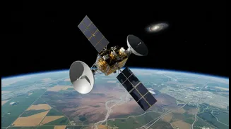
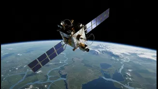
The NISAR satellite is the result of a landmark collaboration between the US space agency, NASA, and the Indian Space Research Organisation (ISRO). Launched aboard an Indian GSLV rocket in July 2025, this sophisticated Earth-observation satellite is one
of the most expensive of its kind, with a total cost of over $1.5 billion. The partnership represents a significant moment in US-India space cooperation, with NASA providing the L-band radar system and ISRO contributing the S-band radar and the satellite bus. Following its launch, the satellite entered a commissioning phase and became fully operational in early 2026, beginning its mission to scan the globe.
Seeing the Unseen
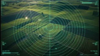
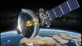
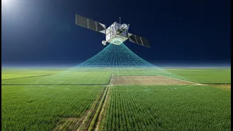
What makes NISAR so special is its use of dual-frequency Synthetic Aperture Radar (SAR). Unlike optical satellites that are limited by clouds, darkness, or weather, radar can see through these obstructions. This allows NISAR to monitor the Earth's surface day and night, in all conditions. By using two different radar frequencies (L-band and S-band), the satellite can gather a richer, more detailed picture of our planet. The L-band can penetrate vegetation to measure things like forest biomass and soil moisture, while the S-band is more sensitive to surface conditions. The satellite will image the entire globe every 12 days, providing a constantly updated, high-resolution view of changes happening on the ground, down to the centimetre level.
A Boon for Indian Farmers
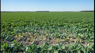
For India, where agriculture is deeply tied to the monsoon, NISAR's capabilities are a game-changer. The satellite is now systematically scanning the Indian landmass, providing soil moisture maps at a fine 100-metre resolution. This data, which is accessible via ISRO's Bhoonidhi portal, is crucial for a country facing increasingly erratic weather patterns. Farmers and agricultural authorities can use this near-real-time information to optimize irrigation, manage drought risk, and assess crop health more effectively. This moves Indian agriculture towards a more data-driven, precise approach, ultimately enhancing food security.
Strengthening Disaster Management
India is highly vulnerable to a range of natural disasters, including floods, landslides, cyclones, and earthquakes. NISAR will provide critical data to bolster the country's disaster management efforts. By repeatedly scanning the same areas, it can detect subtle surface changes that might precede a landslide or indicate tectonic strain in earthquake-prone zones. The satellite's ability to see through clouds means it can provide invaluable imagery during cyclones and floods, helping to map the extent of inundation and guide rescue and relief operations. Data will be made available within hours for emergency situations, enabling a much faster and more informed response.
Monitoring a Changing Landscape
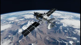
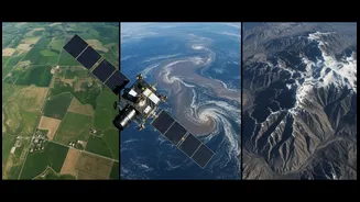
Beyond farms and disasters, NISAR will monitor the health of India's vital natural resources. It will track the melting of Himalayan glaciers, which are a critical source of water for millions. It will also monitor changes in forest cover, wetland areas, and coastal erosion. This comprehensive data will help scientists and policymakers better understand the impacts of climate change and manage the nation's environment and resources more sustainably. The mission is designed to create a consistent, long-term record of our planet's health, offering insights that were previously impossible to gather on such a large scale.