







What Exactly Is Bloom Mapping?
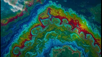
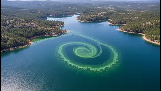
Bloom mapping is the process of using technology to detect, monitor, and analyze the rapid growth of algae and phytoplankton in bodies of water. Think of it as creating a weather map, but instead of tracking clouds and rain, it tracks these microscopic
aquatic organisms. When conditions are right—warm, nutrient-rich water—these organisms can multiply at an explosive rate, creating a 'bloom' that is often visible from space. Scientists and environmental agencies use this technique to get a big-picture view of water health in near real-time, something that was impossible with traditional water sampling alone.
The Technology Behind the Maps
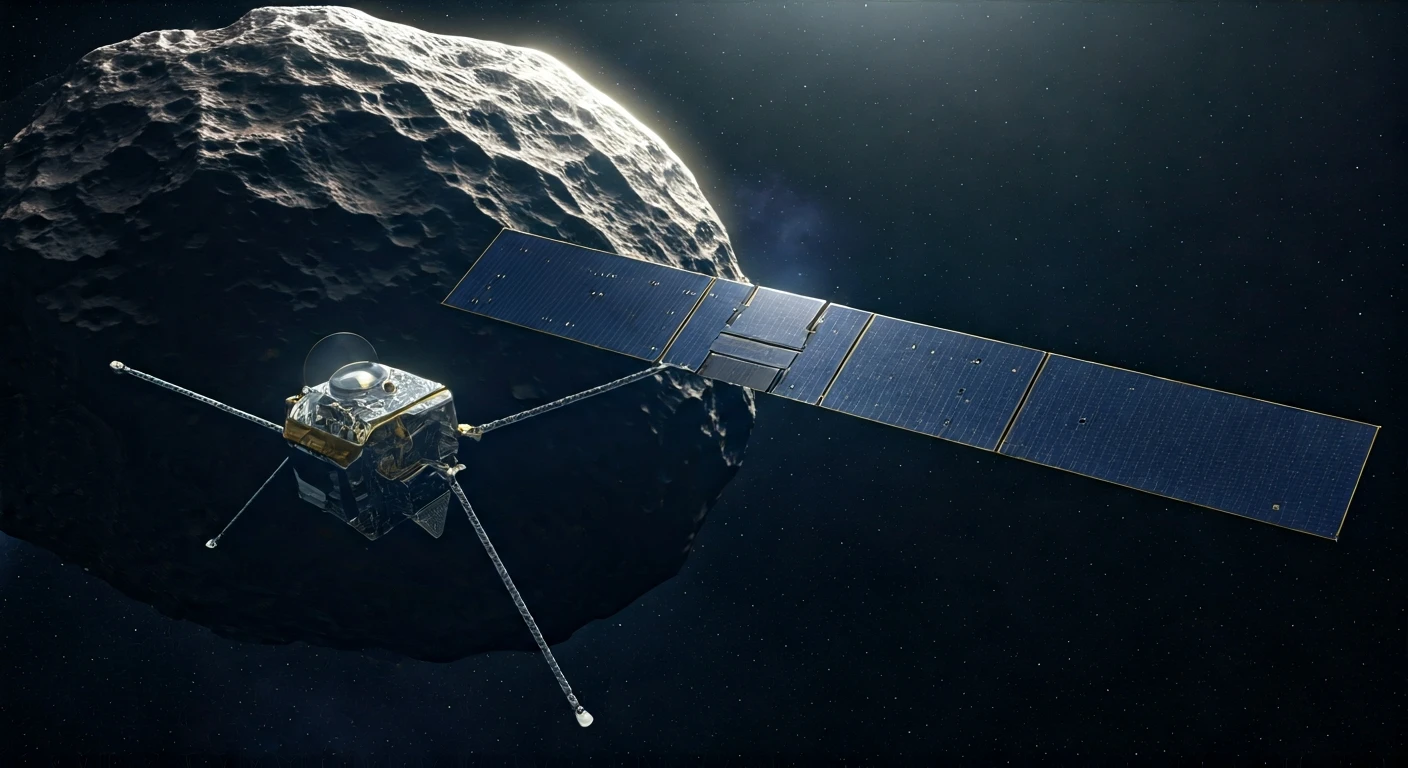
The primary tool for bloom mapping is satellite remote sensing. A fleet of Earth-observing satellites, including NASA's Terra and Aqua, the joint NASA/USGS Landsat program, and the European Space Agency's Sentinel satellites, are equipped with special sensors. These sensors are tuned to detect the specific colors of light reflected by water. Algae contain pigments like chlorophyll-a (which makes them green) and phycocyanin (a blue pigment found in cyanobacteria). By measuring the intensity of these colors, scientists can estimate the concentration of algae in the water and generate detailed maps showing where blooms are occurring, how large they are, and how they are moving.
Why These Blooms Are a Big Deal
While phytoplankton form the foundation of the aquatic food web and produce a significant portion of the Earth's oxygen, not all blooms are beneficial. When they grow out of control, they can become Harmful Algal Blooms (HABs). These HABs can be dangerous for several reasons. Some species of algae produce powerful toxins that can be harmful, or even fatal, to fish, birds, marine mammals, pets, and humans. Even non-toxic blooms can cause immense damage by depleting oxygen in the water as they die and decompose. This process creates vast 'dead zones' where other aquatic life cannot survive, devastating fisheries and local ecosystems.
From Satellite Data to Public Safety
The real power of bloom mapping lies in its application. It’s an early warning system for public health. By tracking the development of a bloom, authorities can issue timely advisories, closing beaches to swimmers or warning people not to let their pets drink from or swim in affected water. Water utility managers use the data to adjust treatment processes for drinking water intakes, and fisheries managers can use it to predict potential fish kills or issue guidance on safe seafood harvesting. Multi-agency projects like the Cyanobacteria Assessment Network (CyAN) in the United States are making this data more accessible than ever, even developing mobile apps for local officials and the public.
Smarter Monitoring with AI and Drones
The field is evolving rapidly with the integration of artificial intelligence and machine learning. AI algorithms can now sift through massive datasets from multiple satellites, learning to distinguish between different types of algae and even helping to forecast where blooms might occur next. This satellite surveillance is often complemented by other technologies. Drones can be deployed for a closer look at specific areas, flying under cloud cover that might block a satellite's view. In the water itself, a new generation of automated sensors and imaging instruments, like the FlowCam, can identify and count different algae species in near real-time, providing crucial ground-truth data to validate what the satellites are seeing.
Challenges and the Hybrid Future
For all its power, bloom mapping is not a perfect science. A satellite's view can be obscured by clouds for days at a time. Furthermore, the spatial resolution of some satellites isn't fine enough to monitor smaller lakes or ponds effectively. Distinguishing a truly harmful bloom from a benign one using color alone remains a significant challenge. Because of this, the future of bloom monitoring is a hybrid approach. It combines the broad, continuous coverage of satellites with the detailed, definitive analysis from in-person water sampling and advanced in-situ sensors. This combination of a view from space and boots on the ground provides the most accurate and actionable picture of our water quality.