




An Eye in the Sky for Earth
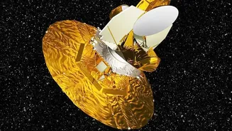
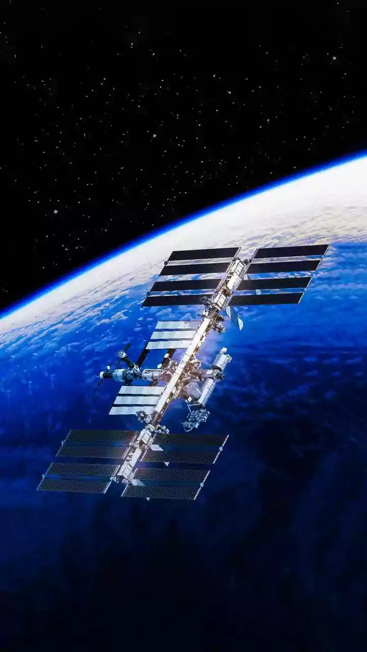
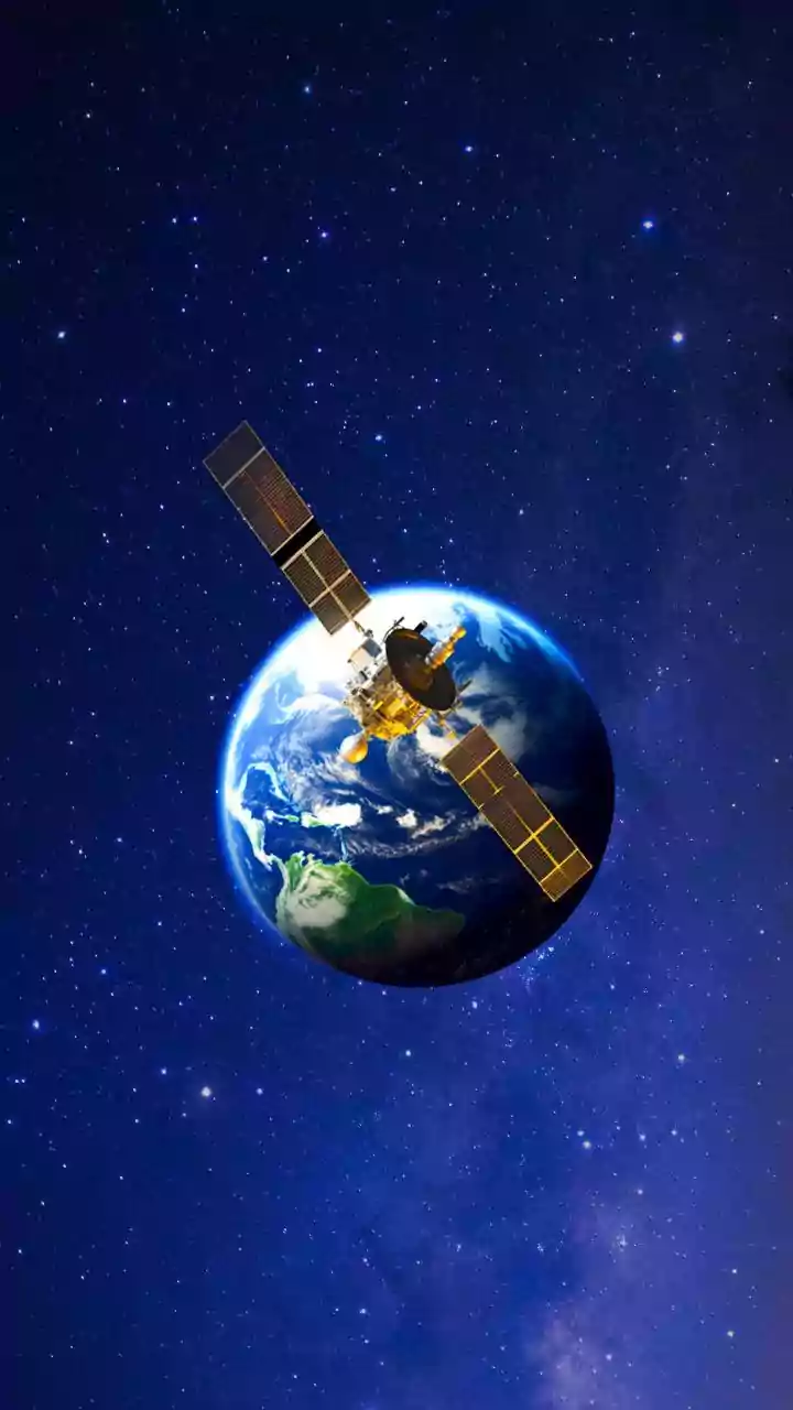
A landmark collaboration between the Indian Space Research Organisation (ISRO) and NASA, the NISAR (NASA-ISRO Synthetic Aperture Radar) satellite is one of the most advanced Earth-observation satellites ever built. Launched in July 2025 from India's Satish
Dhawan Space Centre, the mission represents a monumental achievement in international space cooperation. Its primary goal is to track subtle but significant changes on the Earth’s surface, from the shifting of ice sheets to the tremors of an earthquake. The satellite orbits our planet every 12 days, systematically mapping nearly all land and ice surfaces. This creates a time-lapse view of Earth, allowing scientists to spot trends and changes with incredible precision.
Unveiling Antarctica’s Secrets
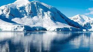
Recent data released in July 2026 has showcased NISAR’s exceptional capabilities, focusing on the vast, frozen landscape of Antarctica. One striking image revealed a feature nicknamed 'the hummingbird' by scientists. This wasn't a living creature, but a stunningly detailed radar view of a mountaintop, Nunatak Zaterjavshijsja, poking through a flowing ice stream. As the ice flows around this rocky peak, it creates deep fractures and crevasses. NISAR’s imagery captured this complex process in vivid detail, showing the immense stress and strain within the glacier. It's a powerful demonstration of how the satellite can see details about how glaciers move and fracture, information that is crucial for understanding their stability.
The Unique Power of Dual-Frequency Radar
What makes NISAR so special is its use of two different radar frequencies, L-band and S-band. This is the first time a satellite has used this dual-frequency approach. Unlike regular cameras that need light, radar can see through clouds and even in complete darkness, making it perfect for monitoring notoriously cloudy and dark polar regions. The longer wavelength of the L-band radar, provided by NASA, can penetrate deeper through vegetation and, in this case, even into the upper layers of snow and ice. This allows it to see structures and features hidden beneath the surface that are invisible to optical satellites. ISRO's S-band radar is better at observing things like soil moisture. Together, they provide a comprehensive, all-weather view of what’s happening on and just below the planet's surface, measuring changes as small as a centimetre.
Why Antarctica’s Ice Matters to India
While Antarctica may seem like a remote and distant problem, what happens there has a direct impact on India. The continent's massive ice sheets hold enough water to raise global sea levels significantly if they melt. For India, with its extensive 7,500-kilometre coastline and densely populated coastal cities like Mumbai, Chennai, and Kolkata, this is a critical concern. Even a modest rise in sea level can lead to more frequent and severe coastal flooding, saltwater intrusion into fresh water sources, and erosion, threatening millions of lives and critical infrastructure. Furthermore, the influx of fresh water from melting ice can disrupt ocean currents that influence global weather, potentially affecting the stability and patterns of the Indian monsoon. By providing precise data on ice melt, NISAR helps scientists create better models to forecast these changes.
A Tool for a Safer Future
NISAR's mission extends far beyond the polar regions. The same technology used to monitor ice can also be applied to track changes in forest cover, map damage from natural disasters like earthquakes and landslides, and monitor agricultural land and water resources. By providing a regular, reliable stream of high-resolution data for the entire globe, NISAR acts as a planetary health check-up. The data, which is being made publicly available, will empower scientists, disaster management agencies, and policymakers in India and around the world. This mission is not just about collecting beautiful images; it’s about gathering the vital information needed to understand and protect our home planet in an era of rapid environmental change.