

ISRO’s Subsurface Vision
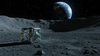
The key to this new perspective is an instrument aboard the Chandrayaan-2 orbiter, which has been circling the Moon since 2019. The Dual-Frequency Synthetic Aperture Radar, or DFSAR, is not a camera that takes pictures. Instead, it acts like a high-tech
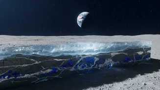
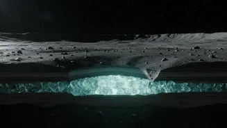
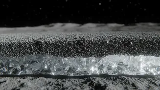
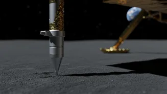
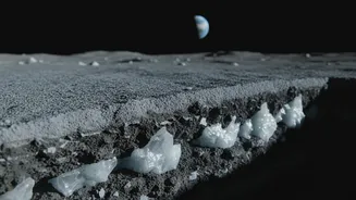
ground-penetrating radar, sending microwave signals in two different frequency bands (L-band and S-band) toward the lunar surface. These signals penetrate the loose topsoil, known as regolith, and bounce back. By analyzing the properties of these reflected signals, scientists at ISRO and the Physical Research Laboratory (PRL), Ahmedabad, can deduce the composition and structure of the material lying meters below the surface. This capability is crucial, as much of the Moon's hoped-for water is expected to be buried, not exposed on the surface.
The Clues in the Cold Traps
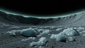
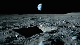
The search has zeroed in on the Moon's south pole, a region of intense international interest. Certain craters in this area are known as Permanently Shadowed Regions (PSRs), as their floors never see direct sunlight. This eternal darkness creates incredibly cold conditions, with temperatures dropping to around minus 248 degrees Celsius. These PSRs act as 'cold traps', ideal for preserving water ice over billions of years. The new ISRO study focused on an even more extreme environment: 'doubly shadowed craters'. These are craters located inside larger PSRs, shielding them from both direct sunlight and reflected thermal radiation, making them among the coldest known places in our solar system. It is in these hyper-cold, dark pockets that ISRO's radar has found compelling signs of buried ice.
Distinguishing Ice from Rock
A major challenge in the search for lunar water has been telling the difference between radar signals bouncing off buried ice and those bouncing off rough, rocky terrain. The DFSAR's advanced polarimetric capabilities help solve this puzzle. Scientists developed a refined method that looks at two specific radar parameters: the Circular Polarisation Ratio (CPR) and the Degree of Polarisation (DOP). In simple terms, a high CPR value combined with a very low DOP value strongly suggests that the radar signal has scattered through a volume of material, like a mix of soil and ice, rather than just reflecting off a hard, rocky surface. Using this technique, the team identified four craters with radar signatures consistent with subsurface water ice.
A Promising Candidate
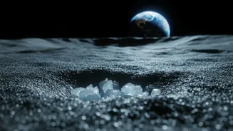
Among the sites investigated, one crater in particular stands out. A small, 1.1-kilometre-wide crater located inside the much larger Faustini crater showed especially strong evidence. Not only did it display the tell-tale radar signature for buried ice, but its physical shape—a 'lobate-rim' morphology—also hinted at its composition. This flow-like or lobed appearance around the rim suggests that the original impact that created the crater may have slammed into a subsurface layer of ice, causing the material to move in a distinctive way. This combination of radar data and physical evidence makes it one of the most promising candidates yet for accessible lunar water ice.
The Future of Lunar Exploration
These findings have profound implications for the future of space exploration. Water ice is considered the most valuable resource on the Moon. It could provide drinking water and breathable oxygen for astronauts on long-term missions. Furthermore, it can be split into hydrogen and oxygen, the primary components of rocket fuel. Being able to 'live off the land' by utilising local resources—a concept known as In-Situ Resource Utilisation (ISRU)—would dramatically reduce the cost and complexity of establishing a lunar base and venturing further into the solar system. By providing a high-resolution map of potential ice deposits, ISRO's Chandrayaan-2 is not just performing remarkable science; it is creating a resource guide for the next generation of lunar pioneers.