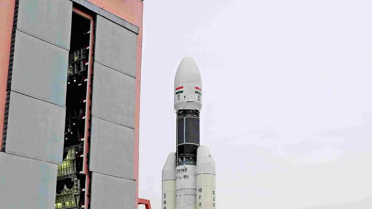








A New Sentinel in the Sky: EOS-06
The game-changer is the Earth Observation Satellite-06 (EOS-06), also known as Oceansat-3. Launched by the Indian Space Research Organisation (ISRO), it is the third generation in a series of satellites dedicated to ocean research. Positioned in a polar
orbit about 740 kilometres above Earth, EOS-06 circles the globe from pole to pole, providing a complete picture of the world's oceans. Its primary mission is to observe the oceans, which play a crucial role in driving our weather patterns, especially the monsoon. This isn't just about continuity; EOS-06 comes with significantly enhanced capabilities compared to its predecessors, offering more detailed and frequent data.
The High-Tech Sensory Arsenal
What makes EOS-06 so special are its three main high-tech sensors, each designed to capture a different aspect of the ocean's behaviour. First is the Ocean Colour Monitor (OCM-3), which, as the name suggests, observes the colour of the ocean. This helps scientists measure the concentration of phytoplankton, the tiny marine plants that form the base of the ocean food web and influence Earth's climate. Next is the Sea Surface Temperature Monitor (SSTM), a new addition that precisely measures the temperature of the ocean's surface. This is a critical parameter, as warmer sea temperatures are the fuel that powers the formation and intensification of cyclones and other storm systems. The third and perhaps most crucial instrument for storm forecasting is the Ku-Band Scatterometer (SCAT-3). This advanced radar instrument measures the speed and direction of winds blowing over the ocean surface by bouncing microwave pulses off the water and analysing the return signal.
From Raw Data to Accurate Forecasts
These sensors work in concert to provide a comprehensive view of ocean conditions. The data they collect is beamed down to ISRO's ground stations and then relayed to agencies like the India Meteorological Department (IMD). Here, the information becomes the lifeblood of modern weather prediction. For instance, scatterometer data on wind speed and direction is essential for identifying the genesis of cyclonic circulations and low-pressure areas over the Bay of Bengal and the Arabian Sea. These are the very systems that define the monsoon's advance and intensity. By assimilating this high-resolution wind data into their numerical weather prediction models, forecasters can track the potential path and strength of a storm with much greater accuracy, sometimes days in advance. Studies have shown that including this satellite wind data significantly improves the accuracy of 72-hour forecasts for low-pressure systems during the monsoon season.
The Real-World Impact for India
Why does this technological leap matter so much? Because better, more reliable forecasts save lives and livelihoods. For India's farmers, who depend on the monsoon for their crops, an accurate forecast means knowing when to sow and when to prepare for heavy rains. For the millions living in coastal communities, an accurate cyclone track and intensity prediction provides crucial lead time for evacuations, turning a potential catastrophe into a managed crisis. The data from EOS-06 also supports the 'blue economy' by helping to identify potential fishing zones, based on ocean colour and temperature data that indicate where fish are likely to be abundant. Ultimately, by providing a clearer picture of the monsoon's behaviour, this satellite enhances India's disaster preparedness, boosts agricultural planning, and strengthens the overall economic resilience of the nation against extreme weather events.
Building on a Legacy of Observation
EOS-06 is part of a long and proud history of Indian space missions dedicated to meteorology. Since the early days of the INSAT series in the 1980s, ISRO has been providing invaluable data for weather forecasting. Satellites like Kalpana-1, INSAT-3D, and SCATSAT-1 have progressively built India's capacity to monitor its unique and complex weather systems from space. EOS-06 and the more recent INSAT-3DS represent the next frontier, providing data with higher resolution and greater frequency. This constant innovation ensures that as climate change potentially makes weather patterns more extreme and unpredictable, India's eyes in the sky are becoming sharper and more vigilant, safeguarding the nation from above.