



A World Treasure Under Threat
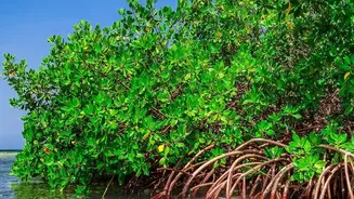
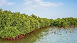
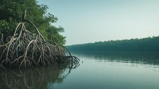
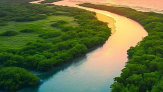
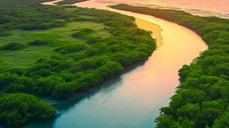
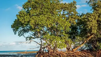
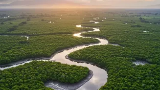
The Sundarbans is more than just a forest; it is a UNESCO World Heritage Site, a critical habitat for the Royal Bengal Tiger, and a natural shield protecting millions of people in West Bengal and Bangladesh from cyclones and storm surges. Spanning approximately
10,000 square kilometres of land and water, this complex deltaic ecosystem is shaped by the daily ebb and flow of tides and the freshwater carried by the Ganges, Brahmaputra, and Meghna rivers. However, this vital buffer is in grave danger. A combination of rising sea levels, reduced freshwater and sediment flow from upstream, and land subsidence is causing the Sundarbans to erode at an alarming rate. Studies show the sea level here is rising more than twice as fast as the global average, leading to significant land loss year after year.
The Problem of a Shifting Coastline
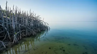
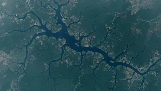
For decades, scientists have used satellite imagery to track the Sundarbans' shrinking landmass. These studies paint a grim picture, revealing a net land loss of hundreds of square kilometres over the past half-century. Some islands that were once covered in mangroves have vanished entirely. The erosion is not uniform; severe losses are occurring on the exposed southern coasts, while some river mouths in the east still show moderate accretion, or land gain. The overarching trend, however, is clear: the Sundarbans is transitioning from a delta that historically grew over time to one that is now in a state of net erosion. This process is accelerated by the increasing frequency and intensity of cyclones, which batter the coast and wash away precious land.
Seeing the Change in Real Time
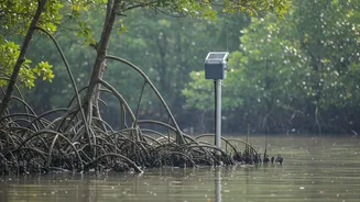
While satellite photos provide a valuable long-term perspective, they only offer snapshots in time. To truly understand the rapid dynamics of tidal flooding and erosion, scientists need continuous data. This is where real-time telemetry comes in. The headline refers to the increasing use of advanced monitoring systems, including Internet of Things (IoT) devices and hydrodynamic models, to capture a live feed of environmental parameters. These systems use networks of sensors placed within the mangrove ecosystem to continuously measure factors like water level, tidal velocity, salinity, and sediment movement. This data is then transmitted wirelessly, allowing researchers to observe the landscape's response to daily tides and major weather events as they happen, a significant leap from older, more time-consuming field assessments.
What the Live Data Reveals
Real-time monitoring is confirming the immense power of the tides in reshaping the Sundarbans. Hydrodynamic models, validated with on-site data, show how tidal currents are a primary driver of erosion, with high-velocity flows directly correlating to areas of significant land loss. For example, studies have pinpointed specific islands on the delta's south-eastern margin that are shrinking rapidly due to the direct impact of powerful currents. This high-resolution data also reveals the nuanced interplay between freshwater river flows and saltwater tidal surges. During the dry season, reduced freshwater from upstream allows saline water to push further inland, while in the monsoon, high river discharge can buffer the effects of the tide. Understanding this delicate balance is crucial for predicting how the ecosystem will respond to future changes.
From High-Tech Data to On-the-Ground Solutions
The insights gained from real-time telemetry are not just academic. This detailed understanding of erosion and flooding patterns is essential for designing effective coastal management and conservation strategies. By identifying the most vulnerable areas, authorities can prioritise protection efforts, such as strengthening embankments or pioneering new, nature-based solutions. One such experiment involves using simple terracotta rings to trap silt and rebuild eroded land, a low-cost technique whose effectiveness can be precisely monitored with modern sensors. Ultimately, this continuous stream of data allows for more dynamic and responsive disaster management, helping to protect both the unique ecosystem and the millions of people who depend on it for their lives and livelihoods.