





The View from Above: Satellite Knowledge
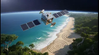
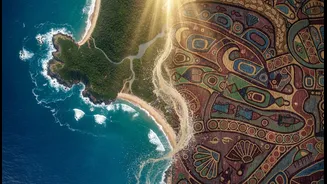
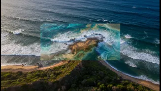
Satellite technology offers a crucial, high-level perspective on our changing coastlines. For years, India has used its robust remote sensing satellite program to monitor critical environmental markers. Instruments on satellites like the IRS (Indian Remote
Sensing Satellite) series can track shoreline changes, map the health and extent of vital ecosystems like mangroves and coral reefs, and monitor water quality. This data is essential for creating large-scale maps that identify areas most vulnerable to hazards like storm surges and sea-level rise. For example, the Indian National Centre for Ocean Information Services (INCOIS) uses satellite data to generate Potential Fishing Zone (PFZ) advisories, helping fisherfolk locate fish stocks more efficiently, which saves fuel and time. This birds-eye view allows planners to see the bigger picture, understand long-term trends, and allocate resources to the most at-risk regions.
The Wisdom from Within: Indigenous Knowledge
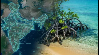
For generations, indigenous communities living along India's coasts have developed a deep, intuitive understanding of their local ecosystems. This Traditional Ecological Knowledge (TEK) is a treasure trove of climate-resilient practices. It includes knowing which mangrove species are best for buffering against storms, understanding the subtle shifts in wind and water that signal changing weather, and employing traditional water-harvesting techniques that have sustained communities for centuries. Projects across India are now recognizing that this local wisdom is not just historical trivia but a vital, living science. In states like Odisha, Andhra Pradesh, and Maharashtra, major initiatives are working to integrate these community-based approaches into formal climate planning. This knowledge, passed down through generations, offers highly localized and effective solutions that are often more sustainable and culturally appropriate than purely engineered ones.
Bridging the Gap: How Tech and Tradition Unite
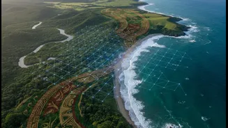
The real magic happens when satellite data and indigenous knowledge are brought together. Imagine using detailed satellite maps of coastal erosion to validate and expand upon what a local fishing community has observed for decades. This is the core of an integrated approach. Scientists can use high-resolution imagery to identify areas where mangrove cover is thinning, and community elders can then provide crucial context on why—perhaps due to changes in local currents or freshwater flow that only they have noticed. This combination allows for more accurate and effective interventions. For instance, a government-led project might aim to restore thousands of hectares of mangroves, a goal supported by satellite monitoring of the restored areas' health and growth. At the same time, the project's success on the ground depends on community-led co-management structures, ensuring the right species are planted in the right places and cared for using traditional methods.
The Power of Proof: Community Evidence in Action
Community evidence, often gathered through what is called 'citizen science', is the process of local people actively participating in collecting data about their own environment. This is a game-changer for climate planning. In several Indian cities and villages, residents are using mobile apps and simple tools to monitor air and water quality, document flooding with photographs, or map vulnerable areas in their neighbourhoods. This data is not just for local use; it provides granular, real-time information that can be fed into official climate action plans. For example, a project in Mumbai saw community members survey climate-vulnerable areas, leading to the formation of a first-response team that now works with civic departments. When communities gather their own evidence, it empowers them to advocate for their needs and ensures that planning is based on ground realities, not just top-down assumptions.
From Planning to Practical Choices
This integrated approach directly leads to more practical and effective climate choices. When communities are involved in planning, the solutions are tailored to their lives. Instead of just building a concrete sea wall, a plan might involve restoring a mangrove forest that not only protects from storm surges but also supports local fisheries. It could mean promoting climate-adaptive livelihoods like crab fattening or oyster farming in saline-affected areas, based on community knowledge and supported by market data. Other practical choices include investing in community-managed seed banks with climate-resilient crops or developing local disaster preparedness plans based on both scientific forecasts and traditional warning signs. The result is a shift from generic, imposed solutions to a set of practical, co-created actions that build long-term resilience from the ground up.