



The Challenge of Seeing Through the Storm
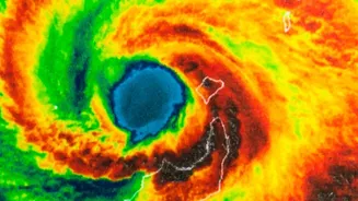
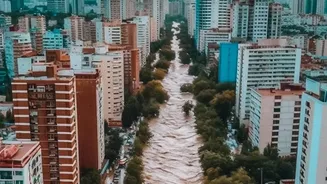
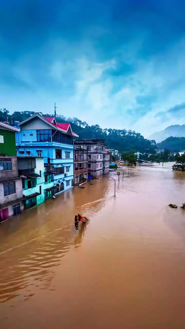
Floods are one of India’s most frequent and devastating natural disasters. During intense monsoons or cyclones, assessing the damage is a race against time. Traditional methods like ground surveys are slow, dangerous, and often impossible in widespread
flooding. Aerial surveys by planes or helicopters can also be grounded by the very same bad weather causing the flood. This leaves a critical information gap for emergency responders. They need to know which villages are cut off, where infrastructure is damaged, and how far the water has spread to effectively plan rescue and relief operations.
An Unblinking Eye: Satellites to the Rescue
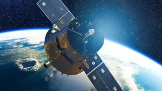
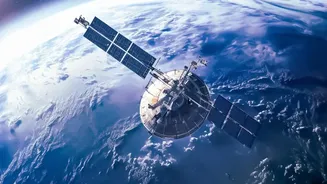
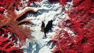
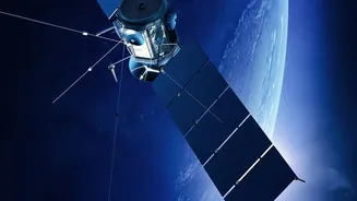
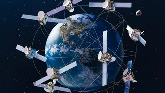
Space technology offers a powerful solution. Earth observation satellites, orbiting hundreds of kilometres above, provide a synoptic view that is impossible from the ground. The Indian Space Research Organisation (ISRO) has a robust Disaster Management Support programme, leveraging its fleet of satellites to monitor natural calamities. When a flood event occurs, these satellites are tasked to capture data over the affected regions, providing near real-time information to national and state disaster management agencies. But how do they see what’s happening when the weather is at its worst?
The All-Weather Advantage of Radar
Not all satellite sensors are the same. Optical satellites work like powerful cameras, capturing images of the Earth's surface. While useful, they are helpless when cloud cover obscures their view. This is where Synthetic Aperture Radar (SAR) satellites become indispensable. SAR is an active remote sensing technology, meaning it doesn't rely on sunlight. Instead, it sends out its own microwave pulses towards the Earth and measures the signal that bounces back. Crucially, these microwave signals can penetrate through clouds, rain, and darkness, allowing SAR to 'see' the ground day or night, in any weather. This all-weather capability makes it the ultimate tool for flood monitoring.
How Radar Identifies Water
The magic of SAR lies in how different surfaces reflect its signal. Rough surfaces, like land and vegetation, scatter the microwave pulses in many directions, causing a strong signal to return to the satellite sensor. These areas appear bright in a SAR image. In contrast, calm, standing water acts like a mirror. It reflects the radar pulses away from the sensor, resulting in a very weak return signal. Consequently, flooded areas appear as dark patches in SAR imagery. By comparing a pre-flood image with one taken during the flood, analysts can quickly and accurately map the extent of the inundation.
From Raw Data to Actionable Maps
The data captured by satellites is processed at centres like ISRO's National Remote Sensing Centre (NRSC) in Hyderabad. Here, specialists analyse the imagery, often using advanced algorithms and artificial intelligence, to create detailed flood inundation maps. These maps clearly delineate flooded and non-flooded areas, identify affected villages, and show the status of critical transport networks. This vital information is then disseminated through portals like Bhuvan and shared with agencies like the National Disaster Management Authority (NDMA) to guide life-saving rescue and relief efforts on the ground.
The Future Is Collaborative and Clearer
The technology is constantly evolving. A significant upcoming advancement is the NASA-ISRO Synthetic Aperture Radar (NISAR) mission. This joint project will carry advanced L-band and S-band radar instruments, providing more frequent and higher-resolution data than ever before. NISAR will be able to map flooding events across the globe, even under dense forest canopies, roughly every 12 days. This international collaboration will enhance India's already impressive capabilities, providing an even clearer picture during disasters and improving flood prediction models to better protect vulnerable communities in the future.