


1. Keeping a Watchful Eye on Climate Change
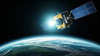
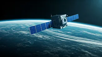
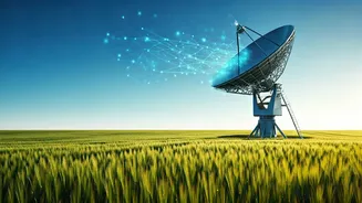
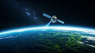
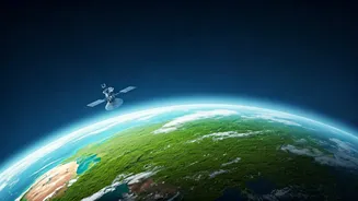
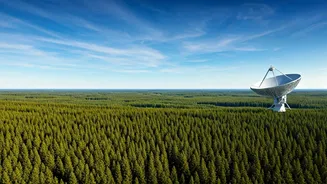
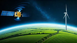
You can't manage what you can't measure. For decades, the most critical data on climate change has come from satellites orbiting hundreds of kilometres above us. These orbital sentinels provide a continuous, global view that's impossible to get from the ground.
They track the health of our planet’s vital signs, from the thickness of polar ice sheets (thank you, NASA's ICESat-2) to the slow, steady rise of global sea levels. The European Space Agency’s Copernicus Programme, for instance, acts as Earth’s health monitor, providing vast amounts of free data on everything from atmospheric CO2 concentrations to ocean temperatures. This information is not just for scientists; it’s the bedrock upon which global climate policies, like the Paris Agreement, are built and verified. Without this view from above, we would be flying blind.
2. Fighting Deforestation and Boosting Agriculture
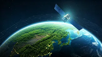
Every minute, we lose an area of forest equivalent to several football fields. But how do we police vast, remote jungles? Again, space tech provides the answer. High-resolution satellite imagery from companies like Planet Labs, which captures a picture of Earth’s entire landmass every single day, allows governments and environmental groups to spot illegal logging and deforestation almost as it happens. In India, the Forest Survey of India heavily relies on data from ISRO’s satellites, like Resourcesat, to create its biennial forest reports. The same technology is transforming farming. Instead of treating a whole field the same, ‘precision agriculture’ uses satellite data to show farmers exactly which parts of their land need more water or fertiliser. This leads to higher yields, lower costs, and less environmental runoff, proving that what’s good for business can also be good for the planet.
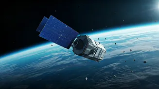
3. Spotting Pollution From Orbit
Some of the most dangerous pollution is invisible. Methane, a potent greenhouse gas, leaks from pipelines and industrial sites unseen. Nitrogen dioxide chokes our cities. Oil slicks threaten marine ecosystems far from shore. Specialized satellites are now equipped with sensors that can ‘see’ these pollutants. Instruments like the Tropospheric Monitoring Instrument (TROPOMI) on the Sentinel-5P satellite can pinpoint pollution hotspots with incredible accuracy, allowing regulators to identify sources and enforce environmental laws. Private companies are also developing constellations of satellites dedicated to tracking methane emissions, creating a new layer of accountability for the oil and gas industry. This orbital oversight is changing the game from reactive clean-ups to proactive prevention.
4. Managing Disasters in Real Time
When a cyclone, flood, or earthquake strikes, the first few hours are critical. Chaos on the ground can make it impossible to know where help is needed most. This is where the International Charter ‘Space and Major Disasters’ comes in. Through this agreement, space agencies like ISRO, NASA, and ESA divert their satellites to capture images of the affected area, providing emergency response teams with crucial maps of flooded regions, damaged infrastructure, and safe routes for rescue. During the 2018 Kerala floods, for example, ISRO’s satellites provided invaluable data that guided rescue and relief efforts on the ground. This rapid response capability, enabled by a global network of satellites, saves lives and helps communities begin the long process of recovery more quickly and effectively.