



Our Guardians in Orbit
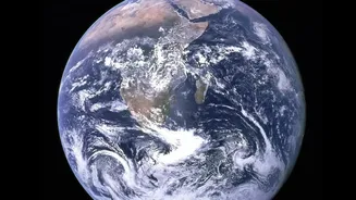
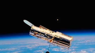
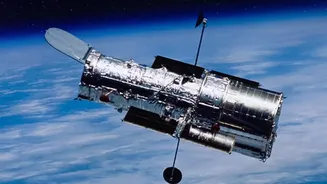
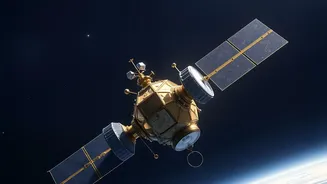
Hundreds of kilometres above Earth, a fleet of advanced Earth Observation (EO) satellites circles the globe, providing a perspective that is impossible to achieve from the ground. These sophisticated machines are more than just cameras in space; they
are multi-talented observers equipped with powerful sensors. Their mission is to continuously monitor our planet's health, tracking everything from weather patterns and sea-level rise to deforestation. For a country like India, which is prone to numerous natural calamities, this technology is not a luxury—it is a lifeline. Organisations like the Indian Space Research Organisation (ISRO) operate a constellation of satellites specifically for this purpose, forming the backbone of the nation's disaster management strategy. The key advantage of satellites is their reliability; they are immune to the chaos on the ground, providing uninterrupted data when surface-based sensors might be damaged or destroyed by the very disaster they are meant to monitor.
Seeing Through Clouds: The Magic of Radar
When a cyclone hits or a monsoon intensifies, dense cloud cover often blinds traditional optical satellites. This is precisely when information is most critical. The solution is Synthetic Aperture Radar (SAR), a game-changing technology that can see through clouds, smoke, and even the dark of night. SAR satellites don't take pictures in the conventional sense. Instead, they transmit microwave pulses towards the Earth's surface and analyse the signals that bounce back. A calm, smooth surface like floodwater reflects the signal away from the satellite, appearing as a dark patch in the resulting data. In contrast, rougher surfaces like dry land, buildings, and vegetation scatter the signal back, appearing much brighter. This stark contrast allows analysts to quickly identify and map the extent of flooding with remarkable accuracy, even in the middle of a storm.
Mapping the Devastation of Floods
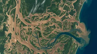
Using SAR technology, disaster management agencies can create near real-time maps of inundated areas. By comparing a 'before' image with one taken during a flood, experts can precisely delineate the affected zones. This information is invaluable for first responders. It helps them understand which villages are cut off, where infrastructure like roads and bridges has been submerged, and how to plan evacuation routes. ISRO's National Remote Sensing Centre (NRSC) plays a pivotal role in this process, providing crucial satellite data to central and state disaster management authorities to support their relief and rescue operations. This capability goes beyond just response; by combining SAR data with Digital Terrain Models, analysts can even estimate the depth of the floodwaters, which is essential for assessing the full scale of the damage and coordinating recovery efforts.
Detecting the Unstable Earth
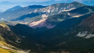
Landslides are often sudden and catastrophic, but the ground sometimes offers subtle clues before it gives way. Satellites are becoming increasingly adept at spotting these warning signs. The primary technology used here is a sophisticated technique called Interferometric Synthetic Aperture Radar (InSAR). By comparing two SAR images of the same area taken at different times, InSAR can detect tiny, millimetre-scale changes in the ground surface. This allows scientists to identify slow-moving landslides or areas where the ground is deforming, indicating instability. Monitoring these subtle movements over weeks or months can reveal slopes that are at high risk of failure, providing a critical window for early warning. Factors like soil moisture, also measurable from space, are integrated into these analyses to build comprehensive risk maps that guide land-use planning and preparedness in vulnerable regions.
From Raw Data to Lifesaving Action
The data beamed down from satellites is a stream of complex numbers and signals. The real magic happens when this raw information is processed, analysed, and transformed into actionable intelligence. This is where organisations like ISRO's Disaster Management Support Programme come in, turning complex satellite observations into easy-to-understand maps and reports. This information is then disseminated through dedicated portals like Bhuvan to the people on the ground who need it most: district administrators, emergency response teams, and policymakers. The future of this field is even more promising, with advancements in Artificial Intelligence allowing for faster, automated analysis of satellite imagery and quantum technology poised to make satellite communications even more secure.