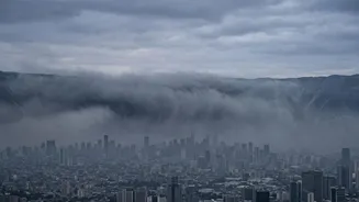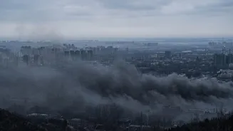



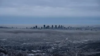
Every winter, a thick, hazy smog descends upon Delhi-NCR, a predictable yet hazardous annual event. This isn't a random occurrence; it's the result of a perfect storm where agricultural practices, seasonal winds, and geography converge.
The Origin: A Sea of Farm Fires
The phenomenon
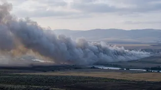
begins hundreds of kilometres away in the fertile plains of Punjab, Haryana, and Uttar Pradesh. After harvesting their paddy crops in October and November, farmers are left with a very short window to clear their fields before planting wheat. The quickest and cheapest method is to burn the leftover crop stubble. This practice results in thousands of fires that release enormous plumes of smoke, rich in particulate matter (PM2.5 and PM10), into the atmosphere. While this is a seasonal activity, its timing and scale set the stage for the pollution crisis that follows downstream. On some peak days, the contribution from this stubble burning can account for over 40% of the PM2.5 pollution in Delhi.
The Conveyor Belt: Northwesterly Winds
The smoke doesn't stay put. As the monsoon season withdraws, the wind direction over North India fundamentally shifts. The moist easterly winds are replaced by cool, dry northwesterly winds. These winds act as a direct conveyor belt, picking up the smoke from the agricultural heartlands of Punjab and Haryana and transporting it straight towards the Delhi-NCR region. This change in wind pattern is a crucial element; without it, the smoke from the farm fires would disperse in other directions and have a much less concentrated impact on the capital. The consistent direction and flow of these winds during this specific time of year ensure a steady stream of pollutants is channelled directly into Delhi's airspace.
The Geographic Trap: Delhi's Bowl Effect
Delhi's own geography creates a significant disadvantage. The city is situated in a landlocked 'bowl' or basin on the Indo-Gangetic Plain. It is flanked by the Himalayan mountain range to the north and the Aravalli hills to the south, which act as natural barriers. These geographical features obstruct the free movement of air, preventing pollutants from dispersing easily. Instead of blowing over and away, the smoke-laden air gets trapped within this basin. This topographical setup means that even without incoming smoke, Delhi struggles with dispersing its own local pollution from traffic, industry, and construction dust. When the agricultural smoke arrives, it is added to this already stagnant pool of pollutants, creating a concentrated toxic mix.
The Lid on the Bowl: Temperature Inversion
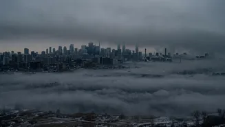
The final, critical factor that locks in the smog is a meteorological phenomenon called temperature inversion. Normally, air is warmer near the ground and gets cooler with altitude, allowing pollutants to rise and disperse. However, during North India's winter, especially on calm nights, the ground cools rapidly, making the air near the surface colder than the air layer above it. This creates an invisible 'lid' of warm air that traps the colder, denser, pollutant-filled air below. This inversion lowers the 'mixing height'—the altitude to which pollutants can vertically disperse—from about a kilometre in summer to just a few hundred metres. This atmospheric lid prevents the trapped smoke and local emissions from escaping, causing concentrations of PM2.5 to build to hazardous levels, particularly overnight and in the early morning.