



The Challenge of Cloudy Skies
For decades, weather forecasting has relied on optical satellites, which are essentially powerful cameras in orbit. They take pictures of the Earth, showing us cloud cover and storm formations. While incredibly useful, they have a critical weakness: they can't
see through clouds. During the monsoon, when dense cloud cover blankets the subcontinent, these optical sensors are effectively blindfolded. This makes it incredibly difficult to accurately monitor the development of cyclones, measure the intensity of rainfall, or map the extent of flooding on the ground precisely when that information is needed most. This observational gap has historically limited the accuracy and timeliness of life-saving warnings.
ISRO's All-Weather Eye in the Sky
This is where Synthetic Aperture Radar (SAR) technology comes in. Unlike optical sensors that passively capture reflected sunlight, SAR is an active system. ISRO's radar satellites, such as those in the RISAT (Radar Imaging Satellite) series, send their own microwave pulses down to Earth and analyse the signals that bounce back. Because these radar waves can penetrate clouds, haze, smoke, and darkness, they provide a clear picture of the Earth's surface regardless of weather conditions or time of day. This 'all-weather, day-and-night' capability is a revolutionary step forward, allowing agencies to monitor developing weather systems and their impact on the ground without interruption.
Meet the Sentinels: RISAT and NISAR
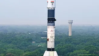
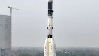
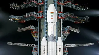
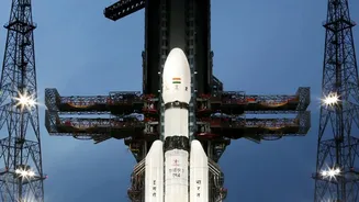
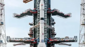
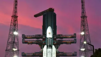
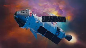
ISRO has been a pioneer in deploying this technology for public good. The RISAT series of satellites are the workhorses of India’s radar observation capabilities. Equipped with sophisticated C-band and X-band SAR payloads, these satellites are designed specifically for applications like agricultural monitoring during the cloudy kharif season and disaster management during cyclones and floods. More recently, the collaborative NASA-ISRO Synthetic Aperture Radar (NISAR) mission has taken this capability to the next level. Launched in mid-2025, NISAR is the world's first satellite to use dual-frequency L-band and S-band radars, allowing it to map the entire globe with stunning precision every 12 days. It can detect changes in the Earth's surface as small as a centimetre, offering unprecedented detail on soil moisture, flood inundation, and land deformation. On July 27, 2026, ISRO began making the first S-band data from NISAR publicly available, empowering researchers and agencies across the country.
Turning Data into Actionable Warnings
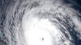
Having powerful satellites is only half the battle. The real magic happens when this raw data is transformed into actionable intelligence. Data from ISRO's radar satellites is fed directly to the India Meteorological Department (IMD) and other agencies. Here, it is integrated into weather prediction models, improving their accuracy significantly. For example, SAR data can precisely map floodwaters, showing which villages and infrastructure are at risk. It can measure soil moisture levels across vast agricultural belts, helping to forecast drought conditions or the potential for flash floods. During a cyclone, radar imagery allows forecasters to track the storm's structure, intensity, and path with greater certainty, even when it is obscured by thick clouds.
Protecting Lives and Livelihoods
The ultimate benefit of these advanced sensors is measured in lives saved and economic losses averted. More accurate and timely warnings allow disaster management authorities to conduct targeted evacuations, pre-position resources, and alert vulnerable populations. For farmers, better monsoon forecasting means improved decisions on when to plant, irrigate, or apply fertilisers, bolstering food security. By providing near real-time mapping of flood inundation, rescue teams can operate more effectively, and post-disaster recovery can begin faster. This technological leap allows India to shift from a reactive to a proactive approach in managing the monsoon, one of the world's most powerful and impactful weather phenomena.