


The Silent Killer: Understanding Storm Surges
When a cyclone makes landfall, high-speed winds are often what come to mind. However, the greatest threat to life is frequently the storm surge. A storm surge is a rise in sea level that occurs during a cyclone, caused by the storm's intense winds pushing
water towards the shore, compounded by the low pressure at the storm's center. This wall of water can flood coastal areas with devastating speed and force, inundating homes, destroying infrastructure, and leaving little time for escape. India, with its 7,500-kilometer coastline, is acutely vulnerable. Effective early warnings aren't just helpful; they are the most critical tool in preventing catastrophic loss of life, enabling authorities to order timely evacuations.
ISRO's All-Seeing Eye: Synthetic Aperture Radar
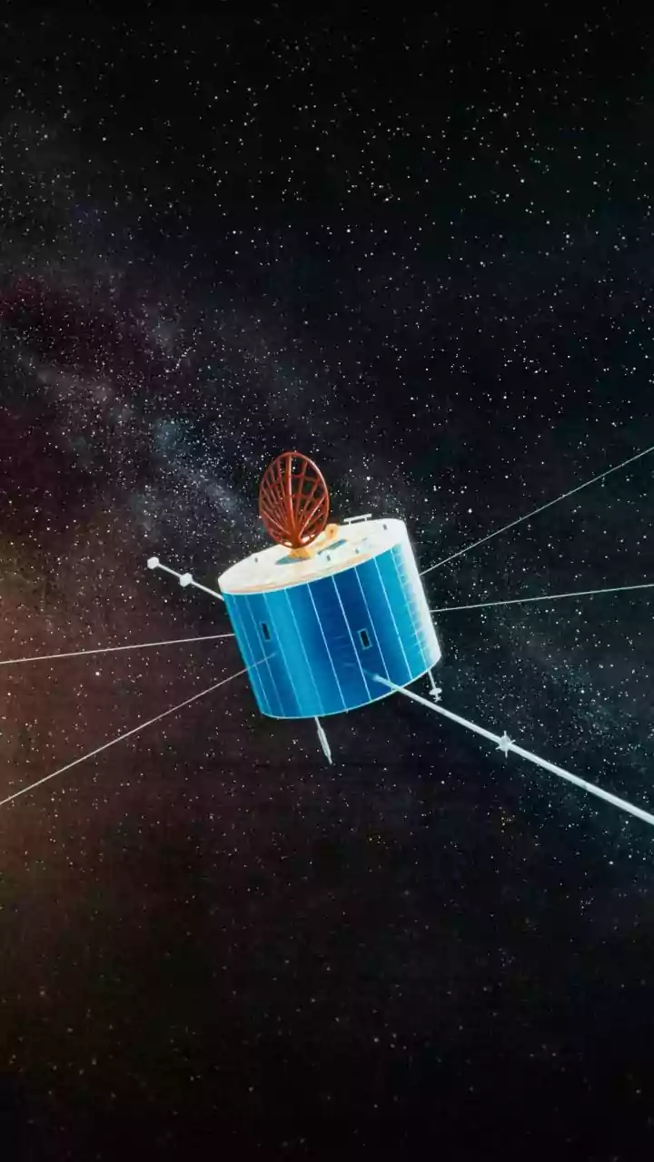
The key to this upgraded capability lies in Synthetic Aperture Radar, or SAR. Unlike traditional optical satellites that are essentially cameras in space, SAR is an active remote sensing technology. It doesn't rely on sunlight and can see right through clouds, haze, and the dark of night. The satellite sends microwave pulses towards the Earth's surface and measures the signals that bounce back. This allows it to create detailed, high-resolution images of the planet's surface, including the ocean. The joint NASA-ISRO satellite, NISAR (NASA-ISRO Synthetic Aperture Radar), is a prime example of this technology in action. Launched in 2025, it is one of the most sophisticated Earth-observing radar satellites ever built.
The Dual-Frequency Advantage of NISAR
What makes the technology on a satellite like NISAR a significant upgrade is its use of two different radar frequencies: the L-band and the S-band. This dual-frequency capability is a first for a satellite mission, allowing for an unprecedented level of detail. The S-band radar, developed by ISRO, and the L-band radar, from NASA, work in tandem. Longer wavelengths like the L-band can penetrate vegetation, while the S-band is highly sensitive to changes in surface moisture and water. By precisely measuring tiny changes in the sea surface height and extent, SAR can detect the initial build-up of water that precedes a storm surge. This allows for the monitoring of the ocean surface with remarkable precision, detecting changes as small as a centimeter.
From Satellite Data to Public Warning
Collecting the data is only the first step. The real magic happens through a seamless collaboration between India's top agencies. Satellites like those in the INSAT series and NISAR capture the raw data and beam it down to ground stations. Here, ISRO processes the information to create usable products, such as maps of potential inundation. This crucial intelligence is then passed to the India Meteorological Department (IMD) and the Indian National Centre for Ocean Information Services (INCOIS). These are the mandated agencies responsible for interpreting the data, running it through their advanced forecast models, and issuing official cyclone and storm surge warnings to disaster management authorities and the public. This well-oiled pipeline ensures that the technological advantage in space translates into actionable warnings on the ground.
A Leap Forward in Disaster Preparedness
The integration of advanced SAR technology represents a monumental leap in India’s disaster management capabilities. The ability to monitor ocean conditions 24/7, regardless of weather, provides a continuous stream of reliable data. This improves the lead time for warnings, giving authorities more time to move people from vulnerable coastal regions to safety. More accurate data also helps in creating precise inundation models, showing exactly which areas are likely to be flooded and to what depth. This helps disaster response forces plan their resources more effectively. For a nation frequently impacted by cyclones, this upgraded eye in the sky is not just a scientific achievement but a shield, poised to protect millions of lives along its shores.